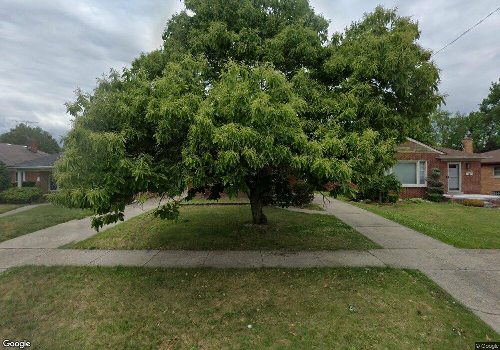
5967 Burger St Dearborn Heights, MI 48127
Estimated Value: $209,000 - $249,000
3
Beds
2
Baths
1,080
Sq Ft
$208/Sq Ft
Est. Value
About This Home
This home is located at 5967 Burger St, Dearborn Heights, MI 48127 and is currently estimated at $224,502, approximately $207 per square foot. 5967 Burger St is a home located in Wayne County with nearby schools including Haigh Elementary School, Bryant Middle School, and Dearborn High School.
Ownership History
Date
Name
Owned For
Owner Type
Purchase Details
Closed on
Nov 28, 2022
Sold by
Dolphin Moka Rent Lc
Bought by
Burger Moka Rent Lc
Current Estimated Value
Purchase Details
Closed on
Nov 22, 2022
Sold by
Mokarent Four Inc
Bought by
Burger Moka Rent Lc
Purchase Details
Closed on
Oct 23, 2020
Sold by
Sleiman Nouhad El Hajj
Bought by
Mokarent Four Inc
Purchase Details
Closed on
Jul 21, 2010
Sold by
Ewing Joe L
Bought by
Sleiman Nouhad El Hajj
Purchase Details
Closed on
Oct 29, 2002
Sold by
Davis Timothy A
Bought by
Ewing Joe L
Purchase Details
Closed on
Nov 6, 1997
Sold by
Boyd Carol A and Boyd Carol B
Bought by
Davis Timothy A
Create a Home Valuation Report for This Property
The Home Valuation Report is an in-depth analysis detailing your home's value as well as a comparison with similar homes in the area
Home Values in the Area
Average Home Value in this Area
Purchase History
| Date | Buyer | Sale Price | Title Company |
|---|---|---|---|
| Burger Moka Rent Lc | -- | -- | |
| Burger Moka Rent Lc | -- | -- | |
| Dolphin Moka Rent Lc | -- | -- | |
| Mokarent Four Inc | -- | None Available | |
| Sleiman Nouhad El Hajj | $60,000 | Title One Inc | |
| Ewing Joe L | $122,000 | -- | |
| Davis Timothy A | $113,402 | -- |
Source: Public Records
Tax History Compared to Growth
Tax History
| Year | Tax Paid | Tax Assessment Tax Assessment Total Assessment is a certain percentage of the fair market value that is determined by local assessors to be the total taxable value of land and additions on the property. | Land | Improvement |
|---|---|---|---|---|
| 2025 | $4,185 | $109,700 | $0 | $0 |
| 2024 | $4,185 | $102,600 | $0 | $0 |
| 2023 | $3,758 | $90,200 | $0 | $0 |
| 2022 | $5,471 | $81,600 | $0 | $0 |
| 2021 | $5,430 | $77,000 | $0 | $0 |
| 2019 | $3,121 | $63,900 | $0 | $0 |
| 2018 | $2,036 | $60,000 | $0 | $0 |
| 2017 | $1,995 | $59,800 | $0 | $0 |
| 2016 | $2,964 | $55,800 | $0 | $0 |
| 2015 | $4,101 | $52,200 | $0 | $0 |
| 2013 | $3,973 | $43,100 | $0 | $0 |
| 2010 | -- | $44,000 | $0 | $0 |
Source: Public Records
Map
Nearby Homes
- 5962 Mcmillan St
- 5741 Hubbell St
- 17517 W Outer Dr
- 6200 Burger St
- 6302 Burger St
- 5632 Beaver St
- 2001 Hubbell St
- 5661 N Melborn St
- 5959 Rosetta St
- 2225 N York St
- 22544 Heinze St
- 21984 Wildwood St
- 1740 N Elizabeth St
- 6652 Rockdale St
- 23259 Lawrence Ave
- 23226 Edward St
- 23450 Lawrence Ave
- 1821 Golfview Dr
- 6159 N Highland St
- 5984 Campus Dr
- 5975 Burger St
- 5951 Burger St
- 6011 Burger St
- 5943 Burger St
- 5968 Hubbell St
- 5976 Hubbell St
- 5960 Hubbell St
- 5952 Hubbell St
- 5935 Burger St
- 6010 Hubbell St
- 6023 Burger St
- 5968 Burger St
- 5976 Burger St
- 5960 Burger St
- 6022 Hubbell St
- 5952 Burger St
- 5927 Burger St
- 6022 Burger St
- 5936 Hubbell St
- 5944 Burger St