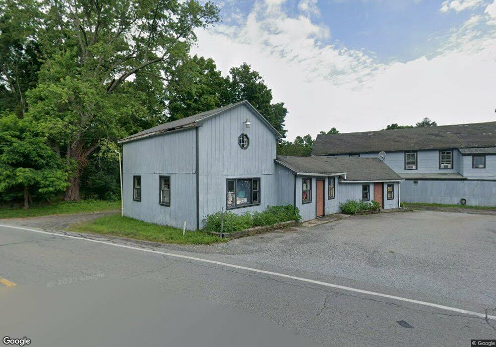
5967 Route 82 Stanfordville, NY 12581
Stanford NeighborhoodEstimated Value: $98,440
--
Bed
--
Bath
1,128
Sq Ft
$87/Sq Ft
Est. Value
About This Home
This home is located at 5967 Route 82, Stanfordville, NY 12581 and is currently estimated at $98,440, approximately $87 per square foot. 5967 Route 82 is a home located in Dutchess County with nearby schools including Stissing Mountain High School.
Ownership History
Date
Name
Owned For
Owner Type
Purchase Details
Closed on
Jun 21, 2021
Sold by
Elvin James
Bought by
5967 Route 82 Llc
Current Estimated Value
Home Financials for this Owner
Home Financials are based on the most recent Mortgage that was taken out on this home.
Original Mortgage
$65,000
Outstanding Balance
$58,849
Interest Rate
2.9%
Mortgage Type
Purchase Money Mortgage
Estimated Equity
$39,591
Create a Home Valuation Report for This Property
The Home Valuation Report is an in-depth analysis detailing your home's value as well as a comparison with similar homes in the area
Home Values in the Area
Average Home Value in this Area
Purchase History
| Date | Buyer | Sale Price | Title Company |
|---|---|---|---|
| 5967 Route 82 Llc | $74,000 | First American Title |
Source: Public Records
Mortgage History
| Date | Status | Borrower | Loan Amount |
|---|---|---|---|
| Open | 5967 Route 82 Llc | $65,000 |
Source: Public Records
Tax History Compared to Growth
Tax History
| Year | Tax Paid | Tax Assessment Tax Assessment Total Assessment is a certain percentage of the fair market value that is determined by local assessors to be the total taxable value of land and additions on the property. | Land | Improvement |
|---|---|---|---|---|
| 2024 | $1,962 | $77,700 | $37,500 | $40,200 |
| 2023 | $1,097 | $74,000 | $37,500 | $36,500 |
| 2022 | $1,672 | $100,700 | $34,700 | $66,000 |
| 2021 | $1,782 | $96,900 | $34,700 | $62,200 |
| 2020 | $3,137 | $96,900 | $34,700 | $62,200 |
| 2019 | $3,146 | $96,900 | $34,700 | $62,200 |
| 2018 | $3,212 | $96,900 | $34,700 | $62,200 |
| 2017 | $1,827 | $96,900 | $34,700 | $62,200 |
| 2016 | $2,228 | $39,320 | $6,077 | $33,243 |
| 2015 | -- | $39,320 | $6,077 | $33,243 |
| 2014 | -- | $39,320 | $6,077 | $33,243 |
Source: Public Records
Map
Nearby Homes
- 5-15 Old Depot Way
- 6099 New York 82
- 2 Hunns Lake Rd
- 135 Sisters Hill Rd
- 22 Hunns Lake Rd
- 0 New York 82
- 0 New York 82
- 5760 Route 82
- 966 S Anson Rd
- 62 Ernest Rd
- 36 Market Ln
- 900 S Anson Rd
- 5654 Route 82
- 5646 Route 82
- 151 Ernest Rd
- 62 Hicks Ln
- 287 Hunns Lake Rd
- 129 W Meadow Ln
- 29 Drake Rd
- 65 Patricia Ln
- 1 Church Ln Unit 2D
- 5 Church Ln
- 2256 Bulls Head Rd
- 2252 Bulls Head Rd
- 2248 Bulls Head Rd
- 5960 New York 82
- 5957 Route 82
- 2253 Bulls Head Rd
- 5960 Route 82
- 2245 Bulls Head Rd
- 15 Church Ln Unit COT
- 15 Church Ln Unit 2C
- 15 Church Ln Unit 1B
- 15 Church Ln Unit Cottg
- 5951 Route 82
- 17 Church Ln Unit D
- 17 Church Ln Unit C
- 17 Church Ln Unit B
- 17 Church Ln Unit 1B
- 17 Church Ln Unit 2D