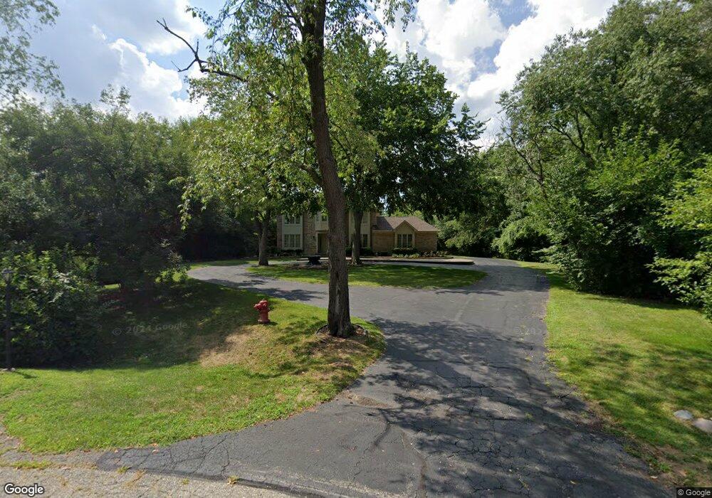
5968 Blandford Cir Bloomfield Hills, MI 48302
Estimated Value: $878,000 - $1,108,000
4
Beds
4
Baths
2,753
Sq Ft
$344/Sq Ft
Est. Value
About This Home
This home is located at 5968 Blandford Cir, Bloomfield Hills, MI 48302 and is currently estimated at $948,205, approximately $344 per square foot. 5968 Blandford Cir is a home located in Oakland County with nearby schools including Conant Elementary School, South Hills Middle School, and Bloomfield Hills High School.
Ownership History
Date
Name
Owned For
Owner Type
Purchase Details
Closed on
May 23, 2023
Sold by
Patel Shirishkumar and Patel Hasumati
Bought by
Patel Shirishkumar and Patel Shirishkumar
Current Estimated Value
Purchase Details
Closed on
Apr 25, 2002
Sold by
Tilson John R
Bought by
Patel Shirish
Home Financials for this Owner
Home Financials are based on the most recent Mortgage that was taken out on this home.
Original Mortgage
$449,500
Interest Rate
7.24%
Purchase Details
Closed on
Jun 30, 2000
Sold by
Priebe Michael G
Bought by
Tilson John A
Home Financials for this Owner
Home Financials are based on the most recent Mortgage that was taken out on this home.
Original Mortgage
$390,000
Interest Rate
8.27%
Create a Home Valuation Report for This Property
The Home Valuation Report is an in-depth analysis detailing your home's value as well as a comparison with similar homes in the area
Home Values in the Area
Average Home Value in this Area
Purchase History
| Date | Buyer | Sale Price | Title Company |
|---|---|---|---|
| Patel Shirishkumar | -- | None Listed On Document | |
| Patel Shirishkumar | -- | None Listed On Document | |
| Patel Shirish | $500,000 | -- | |
| Tilson John A | -- | -- |
Source: Public Records
Mortgage History
| Date | Status | Borrower | Loan Amount |
|---|---|---|---|
| Previous Owner | Patel Shirish | $449,500 | |
| Previous Owner | Tilson John A | $390,000 |
Source: Public Records
Tax History Compared to Growth
Tax History
| Year | Tax Paid | Tax Assessment Tax Assessment Total Assessment is a certain percentage of the fair market value that is determined by local assessors to be the total taxable value of land and additions on the property. | Land | Improvement |
|---|---|---|---|---|
| 2024 | $3,873 | $446,190 | $0 | $0 |
| 2023 | $3,724 | $415,650 | $0 | $0 |
| 2022 | $6,999 | $371,080 | $0 | $0 |
| 2021 | $6,949 | $378,930 | $0 | $0 |
| 2020 | $3,407 | $370,840 | $0 | $0 |
| 2019 | $6,539 | $361,430 | $0 | $0 |
| 2018 | $6,569 | $361,420 | $0 | $0 |
| 2017 | $6,522 | $352,170 | $0 | $0 |
| 2016 | $6,535 | $338,820 | $0 | $0 |
| 2015 | -- | $280,020 | $0 | $0 |
| 2014 | -- | $241,490 | $0 | $0 |
| 2011 | -- | $153,040 | $0 | $0 |
Source: Public Records
Map
Nearby Homes
- 6360 Hills Dr
- 5630 S Adams Way
- 5741 Snowshoe Cir
- 750 Trailwood Path Unit B
- 450 Billingsgate Ct Unit C
- 1760 Trailwood Path
- 6450 Gilbert Lake Rd
- 5904 Wing Lake Rd
- 6660 Woodbank Dr
- 6572 Spruce Dr
- 5129 Woodlands Ln
- 5137 Woodlands Dr Unit 24
- 5361 Echo Rd
- 00 Telegraph Rd
- 0 Telegraph Rd
- 4017 Hidden Woods Dr
- 3880 Oakland Dr
- 5080 Tootmoor Rd
- 6952 Sandalwood Dr
- 5825 Lahser Rd
- 5998 Burnham Rd
- 5972 Burnham Rd
- 5980 Blandford Cir
- 5940 Burnham Rd Unit Bldg-Unit
- 5940 Burnham Rd
- 5991 Blandford Cir
- 6020 Burnham Ct
- 5956 Blandford Rd
- 5971 Burnham Rd
- 6218 Thorncrest Dr
- 6111 Thorncrest Dr
- 6040 Burnham Ct
- 5925 Burnham Rd
- 5971 Blandford Rd
- 5934 Blandford Rd
- 5949 Blandford Rd
- 6135 Thorncrest Dr
- 6059 Burnham Ct
- 5710 Whethersfield Ln
- 4070 Cranbrook Ct