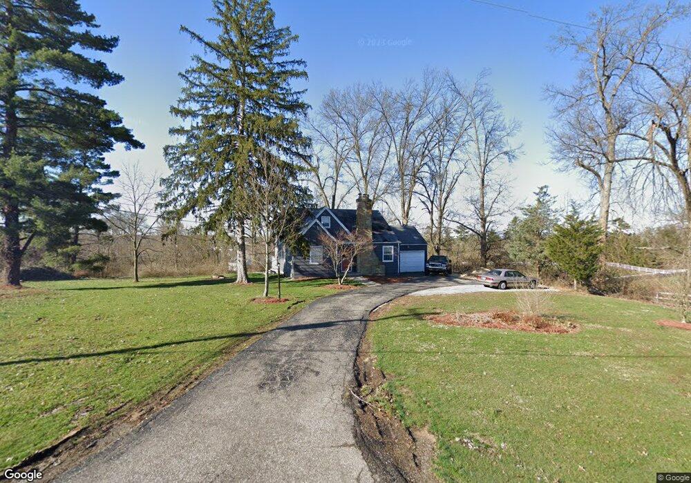
5969 W Fork Rd Cincinnati, OH 45247
Estimated Value: $234,000 - $282,000
About This Home
This home is located at 5969 W Fork Rd, Cincinnati, OH 45247 and is currently estimated at $264,637, approximately $202 per square foot. 5969 W Fork Rd is a home located in Hamilton County with nearby schools including Monfort Heights Elementary School, White Oak Middle School, and Colerain High School.
Ownership History
We collect this data history from publicly available records. To have your information removed, we recommend requesting removal directly through your county’s website.
Purchase Details
Home Financials for this Owner
Home Financials are based on the most recent Mortgage that was taken out on this home.Purchase Details
Home Financials for this Owner
Home Financials are based on the most recent Mortgage that was taken out on this home.Purchase Details
Purchase Details
Purchase Details
Purchase Details
Purchase Details
Purchase Details
Home Values in the Area
Average Home Value in this Area
Purchase History
We collect this data history from publicly available records. To have your information removed, we recommend requesting removal directly through your county’s website.
| Date | Buyer | Sale Price | Title Company |
|---|---|---|---|
| $120,000 | -- | ||
| -- | None Listed On Document | ||
| -- | None Available | ||
| -- | Attorney | ||
| -- | Attorney | ||
| $54,000 | Attorney | ||
| -- | None Available | ||
| -- | Attorney |
Mortgage History
We collect this data history from publicly available records. To have your information removed, we recommend requesting removal directly through your county’s website.
| Date | Status | Borrower | Loan Amount |
|---|---|---|---|
| Closed | -- | ||
| Open | $116,400 |
Tax History
We collect this data history from publicly available records. To have your information removed, we recommend requesting removal directly through your county’s website.
| Year | Tax Paid | Tax Assessment Tax Assessment Total Assessment is a certain percentage of the fair market value that is determined by local assessors to be the total taxable value of land and additions on the property. | Land | Improvement |
|---|---|---|---|---|
| 2025 | $3,870 | $71,071 | $29,414 | $41,657 |
| 2024 | $4,652 | $71,071 | $29,414 | $41,657 |
| 2023 | $3,990 | $71,768 | $29,414 | $42,354 |
| 2022 | $3,790 | $57,803 | $30,884 | $26,919 |
| 2021 | $3,487 | $57,803 | $30,884 | $26,919 |
| 2020 | $3,508 | $57,803 | $30,884 | $26,919 |
| 2019 | $3,691 | $55,052 | $29,414 | $25,638 |
| 2018 | $3,289 | $55,052 | $29,414 | $25,638 |
| 2017 | $3,116 | $55,052 | $29,414 | $25,638 |
| 2016 | $2,897 | $50,267 | $29,120 | $21,147 |
| 2015 | $2,916 | $50,267 | $29,120 | $21,147 |
| 2014 | $2,922 | $50,267 | $29,120 | $21,147 |
| 2013 | $2,761 | $50,775 | $29,414 | $21,361 |
Map
- 5972 W Fork Rd
- 5792 Gaines Rd
- Site 1 Brierly Creek Rd
- 5629 Bluepine Dr
- 5945 Brierly Ridge Dr
- 6046 Gaines Rd
- 5804 Cedaridge Dr
- 6179 Sheed Rd
- 5444 Bluesky Dr
- 5588 W Fork Rd
- 5548 Jessup Rd
- 7098 Sheed Rd
- 5467 Race Rd
- 5177 Clearlake Dr Unit 31
- 4929 Shadow Hawk Dr
- 5265 Eaglesnest Dr
- 5220 Eaglesnest Dr
- 6004 Snyder Rd
- 7757 Dennler Ln
- 7535 Sheed Rd
- 5945 W Fork Rd
- 5960 W Fork Rd
- 5950 W Fork Rd
- 5964 W Fork Rd
- 6017 W Fork Rd
- 5990 W Fork Rd
- 5986 W Fork Rd
- 5942 W Fork Rd
- 5925 W Fork Rd
- 5793 Gaines Rd
- 5790 Eden Ridge Dr
- 5924 W Fork Rd
- 5968 W Fork Rd
- 6034 W Fork Rd
- 5785 Gaines Rd
- 5795 Gaines Rd
- 5756 Gaines Rd
- 6040 Eden Roc Place
- 5766 Gaines Rd
- 6032 Eden Roc Place
Ask me questions while you tour the home.