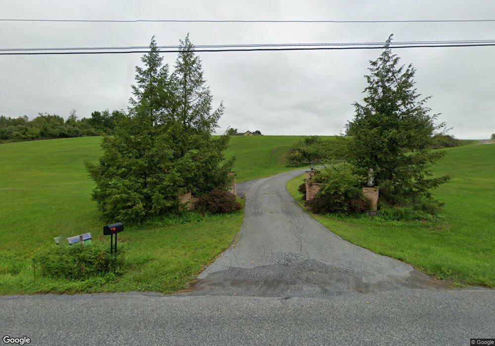
597 Abel Colony Rd Wind Gap, PA 18091
Estimated Value: $589,000 - $769,281
About This Home
This home is located at 597 Abel Colony Rd, Wind Gap, PA 18091 and is currently estimated at $683,570, approximately $252 per square foot. 597 Abel Colony Rd is a home located in Northampton County with nearby schools including Plainfield Elementary School, Wind Gap Middle School, and Pen Argyl Area High School.
Ownership History
We collect this data history from publicly available records. To have your information removed, we recommend requesting removal directly through your county’s website.
Purchase Details
Home Financials for this Owner
Home Financials are based on the most recent Mortgage that was taken out on this home.Purchase Details
Purchase Details
Home Values in the Area
Average Home Value in this Area
Purchase History
We collect this data history from publicly available records. To have your information removed, we recommend requesting removal directly through your county’s website.
| Date | Buyer | Sale Price | Title Company |
|---|---|---|---|
| $460,000 | All Pocono Setmnt Svcs Llc | ||
| $55,000 | -- | ||
| $15,000 | -- |
Mortgage History
We collect this data history from publicly available records. To have your information removed, we recommend requesting removal directly through your county’s website.
| Date | Status | Borrower | Loan Amount |
|---|---|---|---|
| Previous Owner | $368,000 |
Tax History
We collect this data history from publicly available records. To have your information removed, we recommend requesting removal directly through your county’s website.
| Year | Tax Paid | Tax Assessment Tax Assessment Total Assessment is a certain percentage of the fair market value that is determined by local assessors to be the total taxable value of land and additions on the property. | Land | Improvement |
|---|---|---|---|---|
| 2026 | $1,422 | $131,700 | $43,500 | $88,200 |
| 2025 | $1,422 | $131,700 | $43,500 | $88,200 |
| 2024 | $9,925 | $131,700 | $43,500 | $88,200 |
| 2023 | $9,925 | $131,700 | $43,500 | $88,200 |
| 2022 | $9,727 | $131,700 | $43,500 | $88,200 |
| 2021 | $9,859 | $131,700 | $43,500 | $88,200 |
| 2020 | $9,859 | $131,700 | $43,500 | $88,200 |
| 2019 | $9,652 | $131,700 | $43,500 | $88,200 |
| 2018 | $9,435 | $131,700 | $43,500 | $88,200 |
| 2017 | $9,244 | $131,700 | $43,500 | $88,200 |
| 2016 | -- | $131,700 | $43,500 | $88,200 |
| 2015 | -- | $131,700 | $43,500 | $88,200 |
| 2014 | -- | $131,700 | $43,500 | $88,200 |
Map
- 0 Abel Colony Rd Unit PANH2009720
- 0 Pennsylvania 33
- 38 W 3rd St
- 204 Bushkill Ridge Rd
- 0 Male Rd
- 0 E West St Unit PM-138679
- 540 Briar Rd
- 6366 Sullivan Trail
- 0 W Center St
- 432 Old Allentown Rd
- 6 Indian Trail
- 3 Tribe Ln
- 2 Indian Trail
- 136 Sanders Rd
- 1040 Constitution Ave
- 1600 Pen Argyl Rd
- 0 E Mountain Rd
- 0 Pa 33 Unit 18-3648
- 939 Constitution Ave
- 845 W Pennsylvania Ave
- 615 Abel Colony Rd
- 596 Abel Colony Rd
- 602 Abel Colony Rd
- 592 Abel Colony Rd
- 584 Abel Colony Rd
- 614 Abel Colony Rd
- 565 Abel Colony Rd
- 625 Abel Colony Rd
- 568 Abel Colony Rd
- 557 Abel Colony Rd
- 558 Abel Colony Rd
- 620 Abel Colony Rd
- 633 Abel Colony Rd
- 548 Abel Colony Rd
- 549 Abel Colony Rd
- 628 Abel Colony Rd
- 538 Abel Colony Rd
- 651 Abel Colony Rd
- 621 Abel Colony Rd
- 646 Abel Colony Rd
Ask me questions while you tour the home.