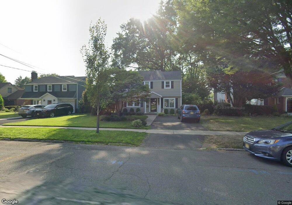
597 Bogert Rd River Edge, NJ 07661
Estimated Value: $816,352 - $974,000
--
Bed
--
Bath
1,827
Sq Ft
$487/Sq Ft
Est. Value
About This Home
This home is located at 597 Bogert Rd, River Edge, NJ 07661 and is currently estimated at $890,088, approximately $487 per square foot. 597 Bogert Rd is a home located in Bergen County with nearby schools including Roosevelt Elementary School, River Dell Middle School, and River Dell Regional High School.
Ownership History
Date
Name
Owned For
Owner Type
Purchase Details
Closed on
May 15, 2001
Sold by
Cheney Keeling D
Bought by
Busteed Colin and Busteed Ellen
Current Estimated Value
Home Financials for this Owner
Home Financials are based on the most recent Mortgage that was taken out on this home.
Original Mortgage
$188,000
Outstanding Balance
$70,511
Interest Rate
7.09%
Estimated Equity
$819,577
Create a Home Valuation Report for This Property
The Home Valuation Report is an in-depth analysis detailing your home's value as well as a comparison with similar homes in the area
Home Values in the Area
Average Home Value in this Area
Purchase History
| Date | Buyer | Sale Price | Title Company |
|---|---|---|---|
| Busteed Colin | $360,000 | -- |
Source: Public Records
Mortgage History
| Date | Status | Borrower | Loan Amount |
|---|---|---|---|
| Open | Busteed Colin | $188,000 |
Source: Public Records
Tax History Compared to Growth
Tax History
| Year | Tax Paid | Tax Assessment Tax Assessment Total Assessment is a certain percentage of the fair market value that is determined by local assessors to be the total taxable value of land and additions on the property. | Land | Improvement |
|---|---|---|---|---|
| 2025 | $15,491 | $644,700 | $353,400 | $291,300 |
| 2024 | $15,104 | $390,700 | $198,800 | $191,900 |
| 2023 | $14,456 | $390,700 | $198,800 | $191,900 |
| 2022 | $14,456 | $390,700 | $198,800 | $191,900 |
| 2021 | $14,171 | $390,700 | $198,800 | $191,900 |
| 2020 | $13,948 | $390,700 | $198,800 | $191,900 |
| 2019 | $13,549 | $390,700 | $198,800 | $191,900 |
| 2018 | $13,264 | $390,700 | $198,800 | $191,900 |
| 2017 | $13,135 | $390,700 | $198,800 | $191,900 |
| 2016 | $12,838 | $390,700 | $198,800 | $191,900 |
| 2015 | $12,569 | $390,700 | $198,800 | $191,900 |
| 2014 | $12,592 | $390,700 | $198,800 | $191,900 |
Source: Public Records
Map
Nearby Homes
- 168 Voorhis Ave
- 378 Windsor Rd
- 215 Kensington Rd
- 276 Greenway Terrace
- 421 Lafayette Ave
- 712 6th Ave
- 33 Lincoln Ave
- 140 River Edge Ave
- 668 River Rd
- 784 Millbrook Rd
- 12 Gainesborough Terrace Unit 1B
- 302 Howland Ave
- 204 Woodland Rd
- 855 Kinderkamack Rd
- 195 River Ln
- 293 Bogert Rd Unit 1A
- 761 6th Ave
- 42 Howland Ave
- 766 7th Ave
- 212 Lozier Terrace