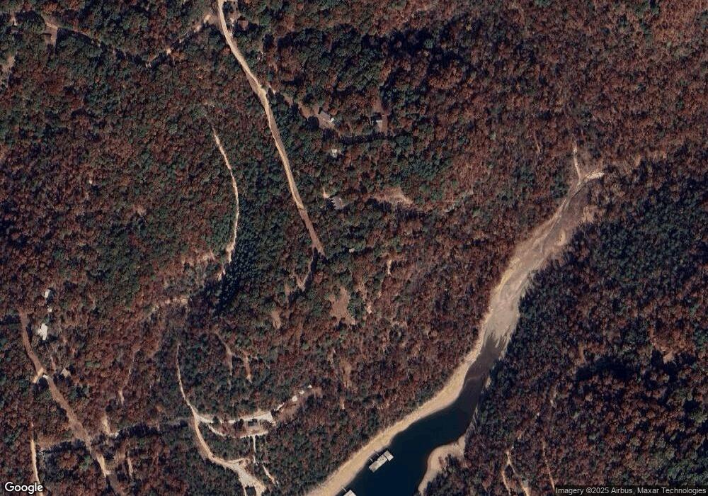
597 County Road 120 Eureka Springs, AR 72631
Estimated Value: $918,000 - $1,380,000
--
Bed
5
Baths
4,924
Sq Ft
$219/Sq Ft
Est. Value
About This Home
This home is located at 597 County Road 120, Eureka Springs, AR 72631 and is currently estimated at $1,079,733, approximately $219 per square foot. 597 County Road 120 is a home located in Carroll County with nearby schools including Eureka Springs Elementary School, Eureka Springs Middle School, and Eureka Springs High School.
Ownership History
Date
Name
Owned For
Owner Type
Purchase Details
Closed on
Aug 24, 2020
Sold by
Tancre Martha
Bought by
Biossat Bayard L and Biossat Carolyn H
Current Estimated Value
Purchase Details
Closed on
Apr 5, 2006
Sold by
Haag and Haag H
Bought by
Biossat
Purchase Details
Closed on
Aug 7, 1990
Sold by
Not Provided
Bought by
Not Provided
Purchase Details
Closed on
Dec 23, 1983
Bought by
Escrow Koenig To Biosset
Purchase Details
Closed on
Jun 20, 1975
Bought by
Corr Deed
Create a Home Valuation Report for This Property
The Home Valuation Report is an in-depth analysis detailing your home's value as well as a comparison with similar homes in the area
Home Values in the Area
Average Home Value in this Area
Purchase History
| Date | Buyer | Sale Price | Title Company |
|---|---|---|---|
| Biossat Bayard L | $61,750 | Kings River Title Co | |
| Biossat Bayard L | $61,750 | Kings River Title | |
| Biossat | -- | -- | |
| Not Provided | $50,000 | -- | |
| Escrow Koenig To Biosset | -- | -- | |
| Corr Deed | -- | -- |
Source: Public Records
Tax History Compared to Growth
Tax History
| Year | Tax Paid | Tax Assessment Tax Assessment Total Assessment is a certain percentage of the fair market value that is determined by local assessors to be the total taxable value of land and additions on the property. | Land | Improvement |
|---|---|---|---|---|
| 2024 | $2,833 | $131,810 | $8,180 | $123,630 |
| 2023 | $2,907 | $131,810 | $8,180 | $123,630 |
| 2022 | $2,958 | $131,810 | $8,180 | $123,630 |
| 2021 | $2,962 | $92,440 | $8,200 | $84,240 |
| 2020 | $2,962 | $92,440 | $8,200 | $84,240 |
| 2019 | $2,980 | $92,440 | $8,200 | $84,240 |
| 2018 | $3,005 | $92,440 | $8,200 | $84,240 |
| 2017 | $3,005 | $92,440 | $8,200 | $84,240 |
| 2016 | $3,660 | $83,290 | $4,220 | $79,070 |
| 2014 | -- | $90,610 | $4,220 | $86,390 |
Source: Public Records
Map
Nearby Homes
- 0 County Road 122
- 0 Valley View Dr
- 12960 Highway 187
- 2895 County Road 116
- 321 Mundell Rd
- 13460 Highway 187
- 0 Highland Park Dr Unit 1303313
- 1007 S Bayshore Dr
- 99 Beaverview Dr
- 444 Beaverview Dr
- 520 County Road 1144
- 0 Honey Creek Rd
- 0 Mundell Rd
- 001 TBD Mundell Rd
- 002 TBD Mundell Rd
- Tract 1 1601 Mundell Rd
- 190 Edgewater Dr
- 0 Pine Ridge Lane C St Unit 1311013
- 1773 County Road 114
- 000 County Road 1160
- 597 County Road 120
- 597 Cr120
- 1 Smokey Ridge Ct
- 599 County Road 120
- 3 Smokey Ridge Ct
- 0 County Road 120
- 2 Smokey Ridge Ct
- 521 County Road 120
- 853 County Road 120
- 493 County Road 120
- 10 acres County Road 122
- 900 County Road 120
- 0 Tbd Cr 122 Rd Unit 546745
- 0 Cr 122
- 353 County Road 122
- TBD County Road 120
- 326 County Road 122
- 2046 County Road 116
- 2142 Cr 116
