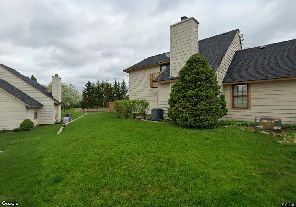
597 Dunham Rd Unit U320 Gurnee, IL 60031
Estimated Value: $211,482 - $223,000
2
Beds
2
Baths
1,162
Sq Ft
$189/Sq Ft
Est. Value
About This Home
This home is located at 597 Dunham Rd Unit U320, Gurnee, IL 60031 and is currently estimated at $219,121, approximately $188 per square foot. 597 Dunham Rd Unit U320 is a home located in Lake County with nearby schools including Woodland Primary School, Woodland Elementary School, and Woodland Intermediate School.
Ownership History
Date
Name
Owned For
Owner Type
Purchase Details
Closed on
Sep 9, 2005
Sold by
Redrick Mark A and Redrick Virginia M
Bought by
Lanterman Richard P and Lanterman Jeannine K
Current Estimated Value
Home Financials for this Owner
Home Financials are based on the most recent Mortgage that was taken out on this home.
Original Mortgage
$118,800
Interest Rate
6.04%
Mortgage Type
Fannie Mae Freddie Mac
Purchase Details
Closed on
Sep 23, 2002
Sold by
Kneip Carolyn H
Bought by
Redrick Mark A and Redrick Virginia M
Home Financials for this Owner
Home Financials are based on the most recent Mortgage that was taken out on this home.
Original Mortgage
$117,900
Interest Rate
6.29%
Purchase Details
Closed on
Jul 1, 1997
Sold by
Faust Roger C and Faust Katherine
Bought by
Kneip Carolyn H
Home Financials for this Owner
Home Financials are based on the most recent Mortgage that was taken out on this home.
Original Mortgage
$61,500
Interest Rate
7.81%
Create a Home Valuation Report for This Property
The Home Valuation Report is an in-depth analysis detailing your home's value as well as a comparison with similar homes in the area
Home Values in the Area
Average Home Value in this Area
Purchase History
| Date | Buyer | Sale Price | Title Company |
|---|---|---|---|
| Lanterman Richard P | $148,500 | Cti | |
| Redrick Mark A | $131,000 | Multiple | |
| Kneip Carolyn H | $57,666 | -- |
Source: Public Records
Mortgage History
| Date | Status | Borrower | Loan Amount |
|---|---|---|---|
| Previous Owner | Lanterman Richard P | $118,800 | |
| Previous Owner | Redrick Mark A | $117,900 | |
| Previous Owner | Kneip Carolyn H | $61,500 |
Source: Public Records
Tax History
| Year | Tax Paid | Tax Assessment Tax Assessment Total Assessment is a certain percentage of the fair market value that is determined by local assessors to be the total taxable value of land and additions on the property. | Land | Improvement |
|---|---|---|---|---|
| 2024 | $4,413 | $56,983 | $8,185 | $48,798 |
| 2023 | $3,736 | $52,904 | $7,599 | $45,305 |
| 2022 | $3,736 | $44,333 | $5,929 | $38,404 |
| 2021 | $3,141 | $40,146 | $5,369 | $34,777 |
| 2020 | $3,031 | $39,159 | $5,237 | $33,922 |
| 2019 | $2,939 | $38,022 | $5,085 | $32,937 |
| 2018 | $2,434 | $32,973 | $2,676 | $30,297 |
| 2017 | $2,403 | $32,028 | $2,599 | $29,429 |
| 2016 | $2,365 | $30,602 | $2,483 | $28,119 |
| 2015 | $2,281 | $29,023 | $2,355 | $26,668 |
| 2014 | $2,118 | $27,502 | $2,323 | $25,179 |
| 2012 | $3,075 | $27,713 | $2,341 | $25,372 |
Source: Public Records
Map
Nearby Homes
- 598 Dunham Rd Unit U297
- 650 Whitney Ct Unit 211
- 690 Chandler Rd Unit 211
- 690 Chandler Rd Unit 302
- 651 White Ct
- 705 Colby Ct Unit U78
- 727 Colby Ct Unit U57
- 748 Chandler Rd
- 6167 Golfview Dr
- 649 Wilbur Ct
- 6296 Doral Dr
- 801 Dunhill Ct
- 920 Vose Dr Unit 304
- 920 Vose Dr Unit 106
- 256 Hill n Dale Ct
- 6349 Braxton Ct
- 6230 Old Farm Ln
- 33430 N Hunt Club Rd
- 17150 W Washington St
- 6091 Washington St
- 595 Dunham Rd Unit 319
- 599 Dunham Rd
- 593 Dunham Rd
- 601 Dunham Rd
- 591 Dunham Rd Unit U313
- 589 Dunham Rd Unit U312
- 594 Dunham Rd Unit U301
- 587 Dunham Rd
- 586 Dunham Rd Unit 302
- 615 Dunham Rd Unit U333
- 602 Dunham Rd Unit U310
- 611 Dunham Rd Unit U331
- 596 Dunham Rd Unit U299
- 588 Dunham Rd
- 604 Dunham Rd Unit U309
- 617 Dunham Rd Unit U334
- 583 Dunham Rd Unit U308
- 590 Dunham Rd Unit U298
- 585 Dunham Rd
- 606 Dunham Rd Unit U318
Your Personal Tour Guide
Ask me questions while you tour the home.