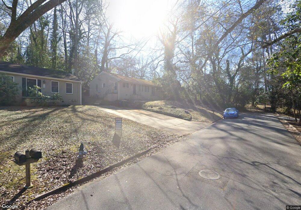
597 Highland Ave Athens, GA 30606
Five Points NeighborhoodEstimated Value: $302,000 - $600,000
--
Bed
2
Baths
1,500
Sq Ft
$310/Sq Ft
Est. Value
About This Home
This home is located at 597 Highland Ave, Athens, GA 30606 and is currently estimated at $464,609, approximately $309 per square foot. 597 Highland Ave is a home located in Clarke County with nearby schools including Barrow Elementary School, Clarke Middle School, and Clarke Central High School.
Ownership History
Date
Name
Owned For
Owner Type
Purchase Details
Closed on
Dec 1, 2006
Sold by
Not Provided
Bought by
Chapala Investment Trust
Current Estimated Value
Purchase Details
Closed on
Jan 6, 2000
Sold by
Brown J Glenn
Bought by
Hufford John E Marybeth L Hufford
Purchase Details
Closed on
Aug 13, 1993
Sold by
Joiner Vicki C
Bought by
Brown J Glenn
Purchase Details
Closed on
Sep 7, 1990
Sold by
Joiner Henry D
Bought by
Joiner Vicki C
Create a Home Valuation Report for This Property
The Home Valuation Report is an in-depth analysis detailing your home's value as well as a comparison with similar homes in the area
Home Values in the Area
Average Home Value in this Area
Purchase History
| Date | Buyer | Sale Price | Title Company |
|---|---|---|---|
| Chapala Investment Trust | -- | -- | |
| Hufford John E Marybeth L Hufford | $95,000 | -- | |
| Brown J Glenn | $76,000 | -- | |
| Joiner Vicki C | -- | -- | |
| Joiner Henry D | -- | -- |
Source: Public Records
Tax History Compared to Growth
Tax History
| Year | Tax Paid | Tax Assessment Tax Assessment Total Assessment is a certain percentage of the fair market value that is determined by local assessors to be the total taxable value of land and additions on the property. | Land | Improvement |
|---|---|---|---|---|
| 2025 | $3,779 | $121,709 | $56,610 | $65,099 |
| 2024 | $3,779 | $121,709 | $56,610 | $65,099 |
| 2023 | $3,803 | $121,709 | $56,610 | $65,099 |
| 2022 | $3,376 | $105,840 | $53,550 | $52,290 |
| 2021 | $2,527 | $74,982 | $53,550 | $21,432 |
| 2020 | $2,527 | $74,982 | $53,550 | $21,432 |
| 2019 | $2,242 | $66,032 | $53,550 | $12,482 |
| 2018 | $2,242 | $66,032 | $53,550 | $12,482 |
| 2017 | $2,242 | $66,032 | $53,550 | $12,482 |
| 2016 | $2,242 | $66,032 | $53,550 | $12,482 |
| 2015 | $2,077 | $61,082 | $48,600 | $12,482 |
| 2014 | $1,914 | $56,222 | $43,740 | $12,482 |
Source: Public Records
Map
Nearby Homes
- 590 Highland Ave
- 490 Mcwhorter Dr
- 169 Fortson Cir
- 589 W Lake Dr
- 495 Woodlawn Ave
- 175 Tillman Ln
- 577 W Cloverhurst Ave
- 224 Fortson Dr
- 206 Fortson Dr
- 104 W Lake Ct
- 164 Plum Nelly Rd
- 1055 Baxter St Unit 504
- 275 Westview Dr
- 2019 S Lumpkin St
- 338 Springdale St
- 265 Springdale St
- 997 S Milledge Ave Unit 2
- 997 S Milledge Ave Unit 3
- 997 S Milledge Ave Unit 1
- 997 S Milledge Ave Unit 4
- 593 Highland Ave
- 198 Rock Glenn Rd
- 589 Highland Ave
- 198 Rock Glen Rd
- 199 Rock Glen Rd
- 604 Highland Ave
- 585 Highland Ave
- 585 Highland Ave Unit 1
- 594 Highland Ave
- 636 Milledge Cir
- 197 Rock Glenn Rd
- 652 Milledge Cir
- 644 Milledge Cir
- 197 Rock Glen Rd
- 638 Milledge Cir
- 196 Rock Glenn Rd
- 575 Highland Ave
- 630 Milledge Cir
- 634 Milledge Cir
- 662 Milledge Cir