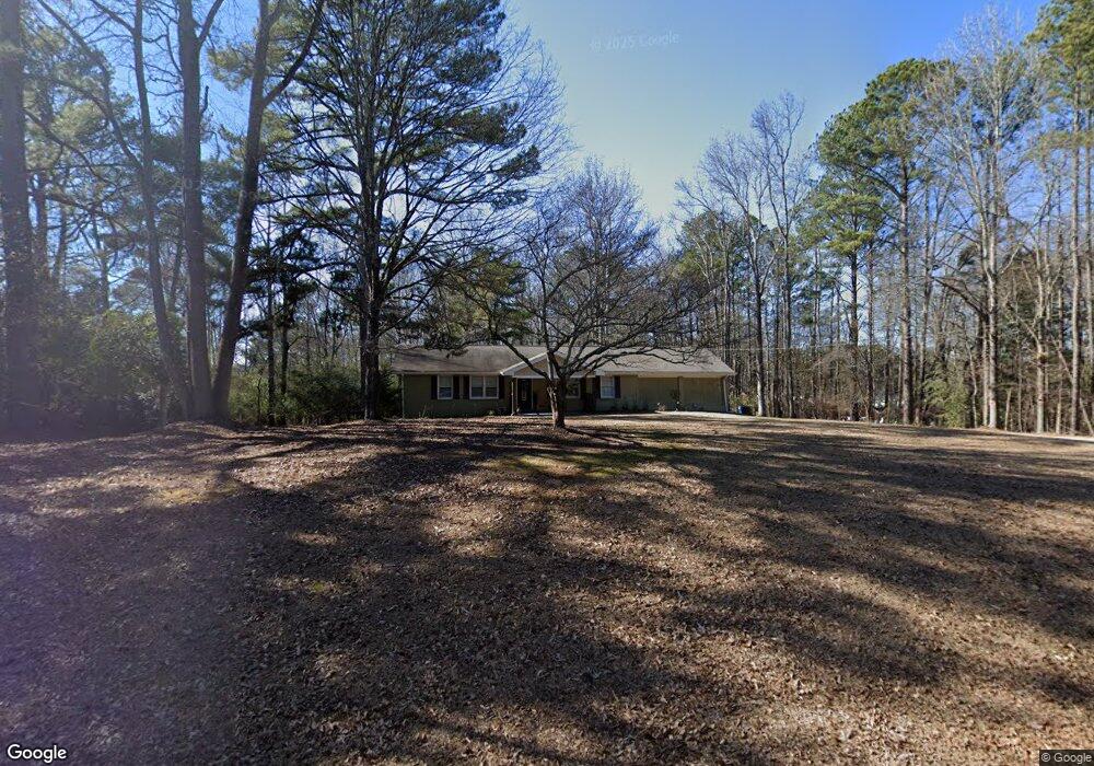
597 Huntington Rd Athens, GA 30606
Estimated Value: $253,000 - $303,000
--
Bed
--
Bath
1,372
Sq Ft
$201/Sq Ft
Est. Value
About This Home
This home is located at 597 Huntington Rd, Athens, GA 30606 and is currently estimated at $276,014, approximately $201 per square foot. 597 Huntington Rd is a home located in Clarke County with nearby schools including Cleveland Road Elementary School, Burney-Harris-Lyons Middle School, and Clarke Central High School.
Ownership History
Date
Name
Owned For
Owner Type
Purchase Details
Closed on
May 7, 2020
Sold by
Kell Tracey N
Bought by
Ngo Oanh K and Nguyen Anh K
Current Estimated Value
Purchase Details
Closed on
Mar 21, 2011
Sold by
Doke Michael L
Bought by
Norris Donetta G
Purchase Details
Closed on
Feb 12, 2007
Sold by
Not Provided
Bought by
Norris Donetta G and Norris Donald H
Home Financials for this Owner
Home Financials are based on the most recent Mortgage that was taken out on this home.
Original Mortgage
$110,000
Interest Rate
6.17%
Mortgage Type
New Conventional
Purchase Details
Closed on
Aug 6, 1999
Sold by
Norris Donald H
Bought by
Norris Donald H and Norris Donetta G
Create a Home Valuation Report for This Property
The Home Valuation Report is an in-depth analysis detailing your home's value as well as a comparison with similar homes in the area
Home Values in the Area
Average Home Value in this Area
Purchase History
| Date | Buyer | Sale Price | Title Company |
|---|---|---|---|
| Ngo Oanh K | $120,000 | -- | |
| Kell Tracey N | -- | -- | |
| Kell Tracey N | -- | -- | |
| Norris Donetta G | -- | -- | |
| Norris Donetta G | $115,000 | -- | |
| Norris Donald H | -- | -- |
Source: Public Records
Mortgage History
| Date | Status | Borrower | Loan Amount |
|---|---|---|---|
| Previous Owner | Norris Donetta G | $110,000 |
Source: Public Records
Tax History Compared to Growth
Tax History
| Year | Tax Paid | Tax Assessment Tax Assessment Total Assessment is a certain percentage of the fair market value that is determined by local assessors to be the total taxable value of land and additions on the property. | Land | Improvement |
|---|---|---|---|---|
| 2025 | $2,668 | $85,915 | $16,150 | $69,765 |
| 2024 | $2,668 | $82,625 | $16,150 | $66,475 |
| 2023 | $2,582 | $77,013 | $16,150 | $60,863 |
| 2022 | $2,078 | $65,132 | $16,150 | $48,982 |
| 2021 | $1,618 | $56,668 | $16,150 | $40,518 |
| 2020 | $1,748 | $51,866 | $16,150 | $35,716 |
| 2019 | $1,651 | $48,623 | $16,150 | $32,473 |
| 2018 | $1,557 | $45,859 | $16,150 | $29,709 |
| 2017 | $1,478 | $43,531 | $16,150 | $27,381 |
| 2016 | $1,390 | $40,936 | $16,150 | $24,786 |
| 2015 | $1,403 | $41,253 | $16,150 | $25,103 |
| 2014 | $1,409 | $41,370 | $16,150 | $25,220 |
Source: Public Records
Map
Nearby Homes
- 470 Huntington Rd Unit 5
- 532 Huntington Rd Unit 7
- 637 Huntington Rd Unit B1
- 141 Huntington Shoals Dr
- 170 Huntington Ct
- 256 Cherokee Ridge
- 241 Meeler Cir
- 212 Meeler Cir
- 212 Huntington Shoals Dr
- 240 W Huntington Rd
- 211 Littleton Way
- 190 W Huntington Rd
- 150 Callaway Dr
- 682 Chesterfield Rd
- 240 Cleveland Rd Unit 105
- 450 River Bottom Rd
- 178 Ben Burton Cir
- 323 Summerville Ln
- 485 Huntington Rd Unit 192
- 485 Huntington Rd Unit 201-202
- 485 Huntington Rd Unit 201
- 485 Huntington Rd Unit 202
- 485 Huntington Rd Unit 196
- 485 Huntington Rd Unit 180
- 485 Huntington Rd Unit 203
- 485 Huntington Rd Unit 204
- 485 Huntington Rd Unit 190
- 485 Huntington Rd
- 445 Huntington Rd
- 350 Huntington Rd
- 639 Huntington Rd
- 599 Cherokee Ridge
- 405 Huntington Rd Unit 100
- 405 Huntington Rd
- 107 Cherokee Ridge
- 647 Huntington Rd
- 115 Cherokee Ridge
- 115 Cherokee Ridge