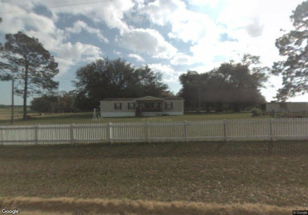
597 Mills Rd Whigham, GA 39897
Estimated Value: $60,512 - $82,000
--
Bed
--
Bath
--
Sq Ft
1.5
Acres
About This Home
This home is located at 597 Mills Rd, Whigham, GA 39897 and is currently estimated at $75,628. 597 Mills Rd is a home.
Ownership History
Date
Name
Owned For
Owner Type
Purchase Details
Closed on
Oct 6, 2021
Sold by
Sellers Lisa L
Bought by
Owens Daniel and Owens Erica
Current Estimated Value
Home Financials for this Owner
Home Financials are based on the most recent Mortgage that was taken out on this home.
Original Mortgage
$19,223
Interest Rate
2.8%
Mortgage Type
New Conventional
Purchase Details
Closed on
Dec 13, 2018
Sold by
Gilmore Janice
Bought by
Sellers Lisa L
Purchase Details
Closed on
Feb 27, 2013
Sold by
Day Willis Bruce
Bought by
Long Kenneth and Gilmore Janice M
Purchase Details
Closed on
Aug 28, 2003
Bought by
Day Willis Bruce
Create a Home Valuation Report for This Property
The Home Valuation Report is an in-depth analysis detailing your home's value as well as a comparison with similar homes in the area
Home Values in the Area
Average Home Value in this Area
Purchase History
| Date | Buyer | Sale Price | Title Company |
|---|---|---|---|
| Owens Daniel | $35,000 | -- | |
| Sellers Lisa L | $20,000 | -- | |
| Long Kenneth | $20,000 | -- | |
| Day Willis Bruce | -- | -- |
Source: Public Records
Mortgage History
| Date | Status | Borrower | Loan Amount |
|---|---|---|---|
| Closed | Owens Daniel | $19,223 |
Source: Public Records
Tax History Compared to Growth
Tax History
| Year | Tax Paid | Tax Assessment Tax Assessment Total Assessment is a certain percentage of the fair market value that is determined by local assessors to be the total taxable value of land and additions on the property. | Land | Improvement |
|---|---|---|---|---|
| 2024 | $155 | $5,032 | $2,752 | $2,280 |
| 2023 | $136 | $4,416 | $1,890 | $2,526 |
| 2022 | $136 | $4,416 | $1,890 | $2,526 |
| 2021 | $136 | $4,416 | $1,890 | $2,526 |
| 2020 | $137 | $4,416 | $1,890 | $2,526 |
| 2019 | $137 | $4,416 | $1,890 | $2,526 |
| 2016 | $210 | $9,531 | $1,890 | $7,641 |
| 2015 | -- | $9,531 | $1,890 | $7,641 |
| 2014 | $165 | $9,531 | $1,890 | $7,641 |
| 2013 | -- | $10,341 | $2,700 | $7,641 |
Source: Public Records
Map
Nearby Homes
- 0 Cal Thomas Rd
- 0 Pelham Rd Unit 23706472
- TBD3 Cumbie Rd
- TBD2 Cumbie Rd
- TBD4 Cumbie Rd
- Tbd Cumbie Rd
- 0 Cumbie Rd
- 0 Harrell Rd
- 547 Eddie Avery Rd
- 0 Eddie Avery Rd Unit 14399
- 2033 Old 179 N
- 217 Martin Rd
- 114 Pr Harrell Rd
- 7268 Lodgetown Rd
- 8468 Branchville Rd
- 3236 Vada Rd
- 1741 Georgia 112
- 53 +/- A Bond Rd
- 0 Earl Hester Rd
- 189 Sabino Dr