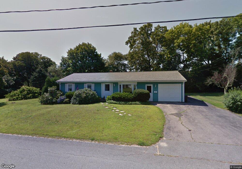
597 Mohawk Rd Somerset, MA 02726
Pottersville NeighborhoodEstimated Value: $453,926 - $544,000
3
Beds
1
Bath
1,144
Sq Ft
$434/Sq Ft
Est. Value
About This Home
This home is located at 597 Mohawk Rd, Somerset, MA 02726 and is currently estimated at $495,982, approximately $433 per square foot. 597 Mohawk Rd is a home located in Bristol County with nearby schools including North Elementary School, Somerset Middle School, and St. Michael's School.
Create a Home Valuation Report for This Property
The Home Valuation Report is an in-depth analysis detailing your home's value as well as a comparison with similar homes in the area
Home Values in the Area
Average Home Value in this Area
Tax History
| Year | Tax Paid | Tax Assessment Tax Assessment Total Assessment is a certain percentage of the fair market value that is determined by local assessors to be the total taxable value of land and additions on the property. | Land | Improvement |
|---|---|---|---|---|
| 2025 | $5,074 | $381,500 | $186,100 | $195,400 |
| 2024 | $4,782 | $373,900 | $186,100 | $187,800 |
| 2023 | $4,305 | $339,500 | $169,000 | $170,500 |
| 2022 | $3,974 | $299,000 | $146,200 | $152,800 |
| 2021 | $4,006 | $272,900 | $132,400 | $140,500 |
| 2020 | $4,010 | $263,500 | $132,800 | $130,700 |
| 2019 | $4,572 | $250,500 | $132,800 | $117,700 |
| 2018 | $3,953 | $233,100 | $128,900 | $104,200 |
| 2017 | $3,965 | $227,900 | $128,900 | $99,000 |
| 2016 | $3,991 | $227,900 | $128,900 | $99,000 |
| 2015 | $3,685 | $212,400 | $121,300 | $91,100 |
| 2014 | $5,137 | $212,700 | $115,700 | $97,000 |
Source: Public Records
Map
Nearby Homes
- 145 Mount Hope Rd
- 745 Bark St
- 26 Massachusetts Ave
- 69 Denham Ave
- 5 Nottingham Cir
- 65 Marvel St
- 171 Marvel St
- 107 Manchester Ave
- 46 Lilac Ave
- 0 Bark St Unit 1342599
- 0 Bark St Unit 73152576
- 54 Grant Ave
- 2714 Riverside Ave
- 0 Palmer St
- 30 Tennyson Dr
- 210 Harrison Ave
- 560 North St
- 4234 N Main St Unit 103
- 316 High Hill Rd
- 3853 N Main St
Your Personal Tour Guide
Ask me questions while you tour the home.