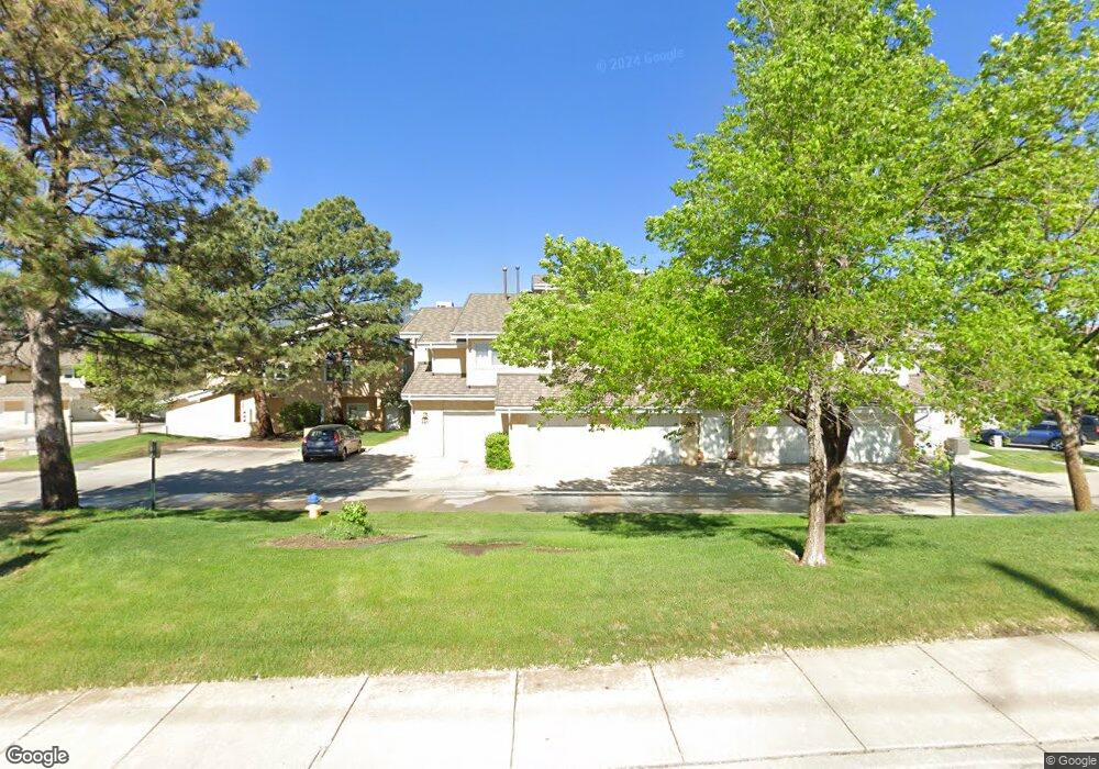
597 Observatory Dr Unit 1F Colorado Springs, CO 80904
Westside NeighborhoodEstimated Value: $287,000 - $331,000
2
Beds
1
Bath
1,078
Sq Ft
$286/Sq Ft
Est. Value
About This Home
This home is located at 597 Observatory Dr Unit 1F, Colorado Springs, CO 80904 and is currently estimated at $308,428, approximately $286 per square foot. 597 Observatory Dr Unit 1F is a home located in El Paso County with nearby schools including Bristol Elementary, School of the Arts and STEM, Holmes Middle School, and Coronado High School.
Ownership History
Date
Name
Owned For
Owner Type
Purchase Details
Closed on
Mar 19, 2021
Sold by
Kaiser Julie and Estate Of Patricia Yoes Hoke
Bought by
Welch Elisabeth Ann
Current Estimated Value
Purchase Details
Closed on
Mar 24, 2004
Sold by
Ivey Mary M
Bought by
Hoke Patricia Ann
Home Financials for this Owner
Home Financials are based on the most recent Mortgage that was taken out on this home.
Original Mortgage
$120,000
Interest Rate
3.29%
Mortgage Type
Unknown
Purchase Details
Closed on
Jul 2, 1996
Sold by
Freeburg Alice M
Bought by
Ivey Fred S and Ivey Mary M
Purchase Details
Closed on
Jun 11, 1992
Bought by
Hoke Patricia A
Purchase Details
Closed on
Apr 1, 1988
Bought by
Hoke Patricia A
Purchase Details
Closed on
Jan 1, 1985
Bought by
Hoke Patricia A
Create a Home Valuation Report for This Property
The Home Valuation Report is an in-depth analysis detailing your home's value as well as a comparison with similar homes in the area
Home Values in the Area
Average Home Value in this Area
Purchase History
| Date | Buyer | Sale Price | Title Company |
|---|---|---|---|
| Welch Elisabeth Ann | $284,250 | Empire Title Co Springs Llc | |
| Hoke Patricia Ann | $150,000 | Land Title Guarantee Company | |
| Ivey Fred S | $106,500 | Capital Title Services | |
| Hoke Patricia A | $81,500 | -- | |
| Hoke Patricia A | -- | -- | |
| Hoke Patricia A | -- | -- |
Source: Public Records
Mortgage History
| Date | Status | Borrower | Loan Amount |
|---|---|---|---|
| Previous Owner | Hoke Patricia Ann | $120,000 | |
| Closed | Hoke Patricia Ann | $22,500 |
Source: Public Records
Tax History Compared to Growth
Tax History
| Year | Tax Paid | Tax Assessment Tax Assessment Total Assessment is a certain percentage of the fair market value that is determined by local assessors to be the total taxable value of land and additions on the property. | Land | Improvement |
|---|---|---|---|---|
| 2025 | $854 | $21,940 | -- | -- |
| 2024 | $746 | $19,740 | $4,390 | $15,350 |
| 2022 | $904 | $16,150 | $2,880 | $13,270 |
| 2021 | $981 | $16,620 | $2,970 | $13,650 |
| 2020 | $923 | $13,600 | $2,220 | $11,380 |
| 2019 | $918 | $13,600 | $2,220 | $11,380 |
| 2018 | $870 | $11,850 | $1,800 | $10,050 |
| 2017 | $824 | $11,850 | $1,800 | $10,050 |
| 2016 | $723 | $12,470 | $1,990 | $10,480 |
| 2015 | $720 | $12,470 | $1,990 | $10,480 |
| 2014 | $656 | $10,900 | $1,790 | $9,110 |
Source: Public Records
Map
Nearby Homes
- 585 Observatory Dr Unit 2F
- 1365 Talley Cir
- 1345 Talley Cir
- 1355 Talley Cir
- 1375 Talley Cir
- 660 Pony Ln
- 135 Helena Ln
- 321 Graceland Grove
- 119 Helena Ln
- 610 N Tower St
- 23 N 15th St
- 1502 Manitou Blvd
- 1509 W Platte Ave
- 1522 Manitou Blvd
- 546 W Saint Vrain St
- 1112 W Kiowa St
- 708 Cooper Ave
- 549 W Dale St Unit 569
- 1315 W Kiowa St
- 427 N Chestnut St
- 595 Observatory Dr Unit 1E
- 593 Observatory Dr Unit 1D
- 587 Observatory Dr Unit A
- 591 Observatory Dr
- 589 Observatory Dr Unit 1B
- 515 Observatory Dr Unit 12A
- 517 Observatory Dr
- 583 Observatory Dr
- 519 Observatory Dr Unit 12C
- 581 Observatory Dr Unit 2D
- 525 Observatory Dr Unit 12F
- 579 Observatory Dr Unit 2C
- 523 Observatory Dr Unit 12E
- 577 Observatory Dr
- 575 Observatory Dr Unit A
- 514 Observatory Dr Unit F
- 524 Observatory Dr
- 516 Observatory Dr
- 460 N Limit St
- 518 Observatory Dr Unit 13D