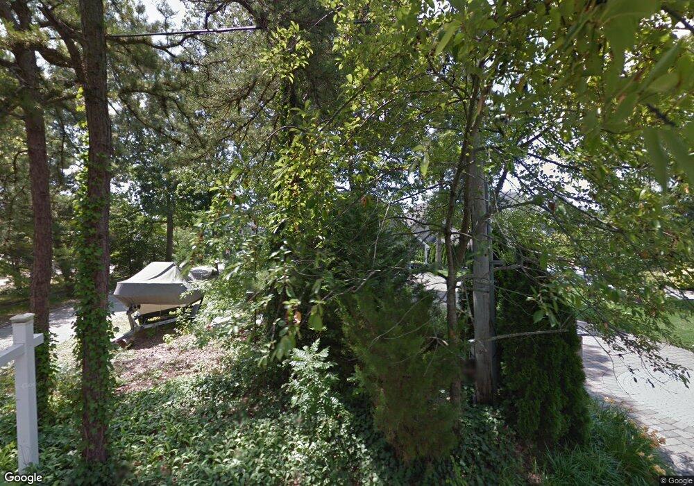
Estimated Value: $2,066,000 - $3,079,000
3
Beds
3
Baths
5,928
Sq Ft
$427/Sq Ft
Est. Value
About This Home
This home is located at 597 Point Ave, Brick, NJ 08724 and is currently estimated at $2,531,419, approximately $427 per square foot. 597 Point Ave is a home located in Ocean County with nearby schools including Midstreams Elementary School, Veterans Memorial Middle School, and Brick Township Memorial High School.
Ownership History
Date
Name
Owned For
Owner Type
Purchase Details
Closed on
Dec 18, 2021
Sold by
Hennington Carl Thomas
Bought by
Hennington Carl Thomas and Hennington Kristin
Current Estimated Value
Purchase Details
Closed on
Nov 23, 2011
Sold by
Albanese Joseph and Albanese Belinda
Bought by
Henningson Carl Thomas
Home Financials for this Owner
Home Financials are based on the most recent Mortgage that was taken out on this home.
Original Mortgage
$900,000
Outstanding Balance
$612,526
Interest Rate
3.98%
Mortgage Type
New Conventional
Estimated Equity
$1,918,893
Purchase Details
Closed on
Jan 26, 1999
Sold by
Upmal Edward and Upmal Gale
Bought by
Albanese Joseph and Albanese Belinda
Create a Home Valuation Report for This Property
The Home Valuation Report is an in-depth analysis detailing your home's value as well as a comparison with similar homes in the area
Home Values in the Area
Average Home Value in this Area
Purchase History
| Date | Buyer | Sale Price | Title Company |
|---|---|---|---|
| Hennington Carl Thomas | -- | Chicago Title Insurance Co | |
| Henningson Carl Thomas | $1,200,000 | None Available | |
| Albanese Joseph | $490,000 | -- |
Source: Public Records
Mortgage History
| Date | Status | Borrower | Loan Amount |
|---|---|---|---|
| Open | Henningson Carl Thomas | $900,000 |
Source: Public Records
Tax History Compared to Growth
Tax History
| Year | Tax Paid | Tax Assessment Tax Assessment Total Assessment is a certain percentage of the fair market value that is determined by local assessors to be the total taxable value of land and additions on the property. | Land | Improvement |
|---|---|---|---|---|
| 2025 | $30,127 | $1,154,300 | $675,000 | $479,300 |
| 2024 | $28,592 | $1,154,300 | $675,000 | $479,300 |
Source: Public Records
Map
Nearby Homes
- 590 Princeton Ave
- 648 Point Ave
- 665 Bancroft Rd
- 502 Princeton Ave
- 693 Harbor Rd
- 701 Princeton Ave
- 598 Robinhood Rd
- 34 Hidden Harbor Dr Unit 34
- 53 Driftwood Dr
- 47 Nina Ct
- 173 Cliff Rd
- 15 Hidden Harbor Dr
- 25 Scoop Rd
- 21 N Raleigh Rd
- 21 Scoop Rd
- 53 Country Club Ct
- 500 Princeton Ave
- 8 Hidden Harbor Dr Unit 8H
- 15 Hulse Landing Rd
- 327 Mantoloking Rd
