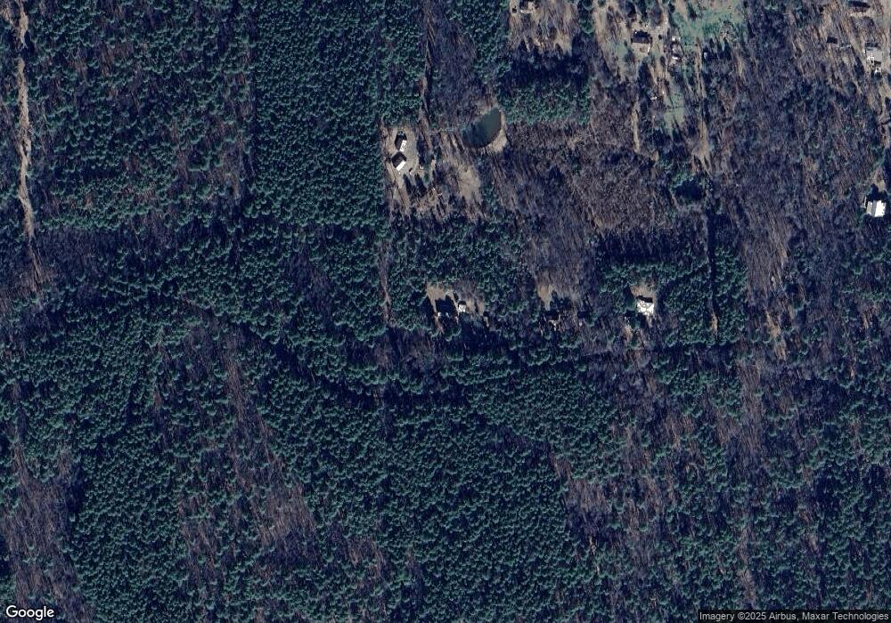
597 Red Bluff Dr Morrilton, AR 72110
Estimated Value: $246,816 - $339,000
--
Bed
2
Baths
2,280
Sq Ft
$122/Sq Ft
Est. Value
About This Home
This home is located at 597 Red Bluff Dr, Morrilton, AR 72110 and is currently estimated at $278,939, approximately $122 per square foot. 597 Red Bluff Dr is a home located in Conway County with nearby schools including Morrilton Primary School, Morrilton Elementary School, and Morrilton Intermediate School.
Ownership History
Date
Name
Owned For
Owner Type
Purchase Details
Closed on
Sep 14, 2007
Sold by
Barber Thomas and Barber Aleta
Bought by
Barber Thomas and Barber Aleta
Current Estimated Value
Purchase Details
Closed on
Jul 31, 2007
Sold by
Barber Mary
Bought by
Barber Thomas
Purchase Details
Closed on
Apr 8, 2003
Bought by
Cate William N and Cate Linda D
Purchase Details
Closed on
Aug 22, 2001
Bought by
Cate William N and Cate Linda D
Purchase Details
Closed on
Apr 27, 1992
Bought by
Price James D
Create a Home Valuation Report for This Property
The Home Valuation Report is an in-depth analysis detailing your home's value as well as a comparison with similar homes in the area
Home Values in the Area
Average Home Value in this Area
Purchase History
| Date | Buyer | Sale Price | Title Company |
|---|---|---|---|
| Barber Thomas | -- | -- | |
| Barber Thomas | -- | -- | |
| Cate William N | -- | -- | |
| Cate William N | $110,000 | -- | |
| Price James D | $60,000 | -- |
Source: Public Records
Tax History Compared to Growth
Tax History
| Year | Tax Paid | Tax Assessment Tax Assessment Total Assessment is a certain percentage of the fair market value that is determined by local assessors to be the total taxable value of land and additions on the property. | Land | Improvement |
|---|---|---|---|---|
| 2024 | $1,723 | $39,220 | $5,090 | $34,130 |
| 2023 | $1,590 | $39,220 | $5,090 | $34,130 |
| 2022 | $1,458 | $39,220 | $5,090 | $34,130 |
| 2021 | $1,325 | $26,990 | $3,100 | $23,890 |
| 2020 | $1,335 | $26,990 | $3,100 | $23,890 |
| 2019 | $1,326 | $26,990 | $3,100 | $23,890 |
| 2018 | $1,325 | $26,990 | $3,100 | $23,890 |
| 2017 | $1 | $26,990 | $3,100 | $23,890 |
| 2016 | $1 | $17,166 | $1,650 | $15,516 |
| 2015 | $755 | $17,166 | $1,650 | $15,516 |
| 2014 | $755 | $17,166 | $1,650 | $15,516 |
Source: Public Records
Map
Nearby Homes
- 154 Cr
- 00 Bartlett Dr
- 18 Lost Cabin Rd
- 30 Acres Davies Ln
- 816 Winrock Dr
- 160 Acres America Rd
- 965 Winrock Dr
- 22 Wildwood Vista
- 299 Highway 247
- 1097 Winrock Dr
- 00 Gold Hill Rd
- Tract 1 E Bay Rd
- Tract 2 E Bay Rd
- 00 Mary Ln
- 53 64 75 Pawpaw Bend Rd
- 0 County Road 333
- 1440 N Shore Rd
- 0 Mandy Ln
- 000 Ave 5 St SW
- 201 Oak Hill Dr
- 645 Red Bluff Dr
- 14 West Rd
- 000 West Rd
- 655 Red Bluff Dr
- 4 Rebstock Rd
- 4acr Rebstock Rd
- 4 Rebstock Rd
- 3 Rebstock Rd
- 673 Red Bluff Dr
- 88 Rebstock Rd
- 52 Rebstock Rd
- 52 Rebstock Rd
- 546 Red Bluff Dr
- 685 Red Bluff Dr
- 80 Rebstock Rd
- 701 Red Bluff Dr
- 495 Sundown Rd
- 82 West Rd
- 91 Rebstock Rd
- 0 Rebstock Rd Unit 8-1606
