Estimated Value: $200,429 - $296,000
3
Beds
1
Bath
1,932
Sq Ft
$129/Sq Ft
Est. Value
About This Home
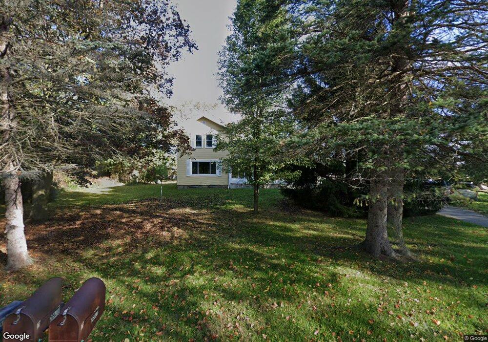
This home is located at 5970 Curtice Rd, Mason, MI 48854 and is currently estimated at $249,607, approximately $129 per square foot. 5970 Curtice Rd is a home located in Ingham County with nearby schools including Mason High School.
Ownership History
Date
Name
Owned For
Owner Type
Purchase Details
Closed on
Sep 20, 2018
Sold by
Estate Of Lynwood I Cotton
Bought by
Moore Lezley R and Clark Jeffrey L
Current Estimated Value
Home Financials for this Owner
Home Financials are based on the most recent Mortgage that was taken out on this home.
Original Mortgage
$107,025
Outstanding Balance
$95,055
Interest Rate
5.5%
Mortgage Type
FHA
Estimated Equity
$154,552
Purchase Details
Closed on
Feb 9, 1999
Sold by
Clark Lyn Duane and Clark Lynn Duane
Bought by
Cotton Lynwood I and Cotton Shirley
Purchase Details
Closed on
Feb 2, 1999
Sold by
Ashley Harold T
Bought by
Clark Lynn Duane and Clark Lyn Duane
Purchase Details
Closed on
Jun 6, 1997
Sold by
Ashley Doris M and Ashley Harold T
Bought by
Clark Ellis and Lyn Duane
Create a Home Valuation Report for This Property
The Home Valuation Report is an in-depth analysis detailing your home's value as well as a comparison with similar homes in the area
Home Values in the Area
Average Home Value in this Area
Purchase History
| Date | Buyer | Sale Price | Title Company |
|---|---|---|---|
| Moore Lezley R | $109,000 | Bell Title Agency | |
| Cotton Lynwood I | $89,500 | -- | |
| Clark Lynn Duane | -- | -- | |
| Clark Ellis | -- | -- |
Source: Public Records
Mortgage History
| Date | Status | Borrower | Loan Amount |
|---|---|---|---|
| Open | Moore Lezley R | $107,025 |
Source: Public Records
Tax History
| Year | Tax Paid | Tax Assessment Tax Assessment Total Assessment is a certain percentage of the fair market value that is determined by local assessors to be the total taxable value of land and additions on the property. | Land | Improvement |
|---|---|---|---|---|
| 2025 | $2,578 | $88,200 | $13,300 | $74,900 |
| 2024 | $2,427 | $83,000 | $12,800 | $70,200 |
| 2023 | $2,427 | $75,200 | $8,600 | $66,600 |
| 2022 | $2,274 | $66,500 | $14,300 | $52,200 |
| 2021 | $2,240 | $61,300 | $0 | $61,300 |
| 2020 | $2,613 | $56,700 | $10,500 | $46,200 |
| 2019 | $2,644 | $57,900 | $12,200 | $45,700 |
| 2018 | $1,850 | $53,400 | $12,200 | $41,200 |
| 2017 | $1,619 | $53,400 | $12,200 | $41,200 |
| 2016 | -- | $50,600 | $12,200 | $38,400 |
| 2015 | -- | $49,000 | $24,320 | $24,680 |
| 2014 | -- | $46,400 | $24,320 | $22,080 |
Source: Public Records
Map
Nearby Homes
- 5525 Curtice Rd
- 11484 Columbia Hwy
- 11249 Columbia Hwy
- 610 Grovenburg Rd
- 4939 W Columbia Rd
- 943 S Michigan Rd
- 1059 N Michigan Rd
- 11237 W Wilbur Hwy
- 900 S Aurelius Rd
- 4789 Nichols Rd
- Vl Harper
- 1140 N Smith Rd
- 285 N Aurelius Rd
- 0 S Aurelius Rd Unit 292647
- 0 Eifert Rd
- 380 Spicetree Ln Unit 48
- 376 Spicetree Ln Unit 47
- 9604 Island Hwy
- Parcel H Dawn Marie Ln
- Parcel B Dawn Marie Ln
Your Personal Tour Guide
Ask me questions while you tour the home.