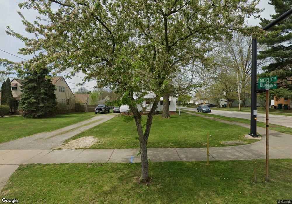
5970 Dunham Rd Maple Heights, OH 44137
Estimated Value: $168,000 - $192,000
3
Beds
2
Baths
2,016
Sq Ft
$91/Sq Ft
Est. Value
About This Home
This home is located at 5970 Dunham Rd, Maple Heights, OH 44137 and is currently estimated at $182,716, approximately $90 per square foot. 5970 Dunham Rd is a home located in Cuyahoga County with nearby schools including Abraham Lincoln Elementary School, Rockside/ J.F. Kennedy School, and Barack Obama School.
Ownership History
Date
Name
Owned For
Owner Type
Purchase Details
Closed on
Jan 12, 2007
Sold by
Jarem Sharon
Bought by
Jarem Sharon and The Sharon Jarem Revocable Trust
Current Estimated Value
Purchase Details
Closed on
Sep 27, 1989
Sold by
Jarem Arthur J
Bought by
Jarem Sharon
Purchase Details
Closed on
Dec 5, 1980
Sold by
Mocarski Joseph R and Mocarski Susan Z
Bought by
Jarem Arthur J
Purchase Details
Closed on
Jan 1, 1975
Bought by
Mocarski Joseph R and Mocarski Susan Z
Create a Home Valuation Report for This Property
The Home Valuation Report is an in-depth analysis detailing your home's value as well as a comparison with similar homes in the area
Home Values in the Area
Average Home Value in this Area
Purchase History
| Date | Buyer | Sale Price | Title Company |
|---|---|---|---|
| Jarem Sharon | -- | Attorney | |
| Jarem Sharon | -- | -- | |
| Jarem Arthur J | $55,000 | -- | |
| Mocarski Joseph R | -- | -- |
Source: Public Records
Tax History Compared to Growth
Tax History
| Year | Tax Paid | Tax Assessment Tax Assessment Total Assessment is a certain percentage of the fair market value that is determined by local assessors to be the total taxable value of land and additions on the property. | Land | Improvement |
|---|---|---|---|---|
| 2024 | $3,566 | $49,700 | $10,045 | $39,655 |
| 2023 | $2,028 | $27,550 | $7,700 | $19,850 |
| 2022 | $2,059 | $27,550 | $7,700 | $19,850 |
| 2021 | $2,191 | $27,550 | $7,700 | $19,850 |
| 2020 | $1,836 | $22,580 | $6,300 | $16,280 |
| 2019 | $2,083 | $71,700 | $18,000 | $53,700 |
| 2018 | $2,165 | $25,100 | $6,300 | $18,800 |
| 2017 | $2,323 | $27,060 | $5,570 | $21,490 |
| 2016 | $2,237 | $27,060 | $5,570 | $21,490 |
| 2015 | $13,030 | $27,060 | $5,570 | $21,490 |
| 2014 | $13,030 | $27,900 | $5,740 | $22,160 |
Source: Public Records
Map
Nearby Homes
- 14775 Lisa Dr
- 14951 Carol Dr
- 6089 Dunham Rd
- 14808 James Ave
- 15709 Steinway Blvd
- 15405 Turney Rd
- 15701 Walvern Blvd
- 15817 Steinway Blvd
- 15717 Shirley Ave
- 15617 Rockside Rd
- SL15 Rocky Top Ct
- 15 Rockytop Ct
- 15803 Maplewood Ave
- 14708 Brunswick Ave
- 16002 Turney Rd
- 6318 Valley Ranch Dr
- 15800 Northwood Ave
- 6363 Valley Ranch Dr
- 6378 Valley Ranch Dr
- 6372 Valley Ranch Dr
- 5978 Dunham Rd
- 5982 Dunham Rd
- 5986 Dunham Rd
- 5956 Dunham Rd
- 15096 Rochelle Dr
- 5990 Dunham Rd
- 15080 Rochelle Dr
- 15095 Rochelle Dr
- 5948 Dunham Rd
- 5994 Dunham Rd
- 15081 Rochelle Dr
- 5971 Dunham Rd
- 15066 Rochelle Dr
- 5981 Dunham Rd
- 5989 Dunham Rd
- 15067 Rochelle Dr
- 5961 Dunham Rd
- 15052 Rochelle Dr
- 6000 Dunham Rd
- 15082 Lisa Dr