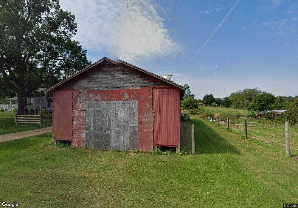
5970 Mann Rd Concord, MI 49237
Estimated Value: $224,000 - $396,000
Studio
--
Bath
1,415
Sq Ft
$195/Sq Ft
Est. Value
About This Home
This home is located at 5970 Mann Rd, Concord, MI 49237 and is currently estimated at $276,586, approximately $195 per square foot. 5970 Mann Rd is a home located in Jackson County with nearby schools including Concord Elementary School, Concord Middle School, and Concord High School.
Ownership History
Date
Name
Owned For
Owner Type
Purchase Details
Closed on
May 5, 2004
Sold by
Collier Jeffrey A and Collier Deanna R
Bought by
Morell Nathan S and Morell Leslie D
Current Estimated Value
Home Financials for this Owner
Home Financials are based on the most recent Mortgage that was taken out on this home.
Original Mortgage
$138,500
Outstanding Balance
$66,532
Interest Rate
5.85%
Mortgage Type
Unknown
Estimated Equity
$210,054
Purchase Details
Closed on
Dec 1, 1994
Bought by
Collier
Create a Home Valuation Report for This Property
The Home Valuation Report is an in-depth analysis detailing your home's value as well as a comparison with similar homes in the area
Purchase History
| Date | Buyer | Sale Price | Title Company |
|---|---|---|---|
| Morell Nathan S | $140,000 | Pioneer Title | |
| Collier | $70,000 | -- |
Source: Public Records
Mortgage History
| Date | Status | Borrower | Loan Amount |
|---|---|---|---|
| Open | Morell Nathan S | $138,500 |
Source: Public Records
Tax History
| Year | Tax Paid | Tax Assessment Tax Assessment Total Assessment is a certain percentage of the fair market value that is determined by local assessors to be the total taxable value of land and additions on the property. | Land | Improvement |
|---|---|---|---|---|
| 2025 | $2,153 | $117,500 | $117,500 | $0 |
| 2024 | $7 | $107,300 | $107,300 | $0 |
| 2023 | $693 | $101,600 | $101,600 | $0 |
| 2022 | $1,954 | $90,000 | $90,000 | $0 |
| 2021 | $1,924 | $75,200 | $37,500 | $37,700 |
| 2020 | $1,903 | $71,800 | $0 | $0 |
| 2019 | $1,850 | $65,700 | $0 | $0 |
| 2018 | $1,808 | $68,900 | $0 | $0 |
| 2017 | $1,622 | $72,200 | $0 | $0 |
| 2016 | $589 | $70,000 | $24,100 | $45,900 |
| 2015 | -- | $63,450 | $63,450 | $0 |
| 2014 | -- | $65,450 | $65,450 | $0 |
| 2013 | -- | $65,450 | $65,450 | $0 |
Source: Public Records
Map
Nearby Homes
- 0 Albion Rd
- 190 Maple St
- 0 River Bend Drive Lot #1
- 0 River Bend Drive Lot #2
- 6175 van Wert Rd
- 0 River Bend Drive Lot #11
- 0 River Bend Drive Lot #4
- 0 River Bend Drive Lot #3
- 0 River Bend Drive Lot #5
- 0 River Bend Drive Lot #9
- 0 River Bend Drive Lot #10
- 270 Wood Hills Dr
- 340 Wood Hills Dr
- 213 Railroad St
- 201 Lake Hills Dr
- 229 S Concord St
- 385 Wood Hills Dr
- 316 Monroe St
- 313 Michigan St
- 516 Cecil Dr
Your Personal Tour Guide
Ask me questions while you tour the home.