Estimated Value: $111,000 - $491,421
--
Bed
--
Bath
2,472
Sq Ft
$138/Sq Ft
Est. Value
About This Home
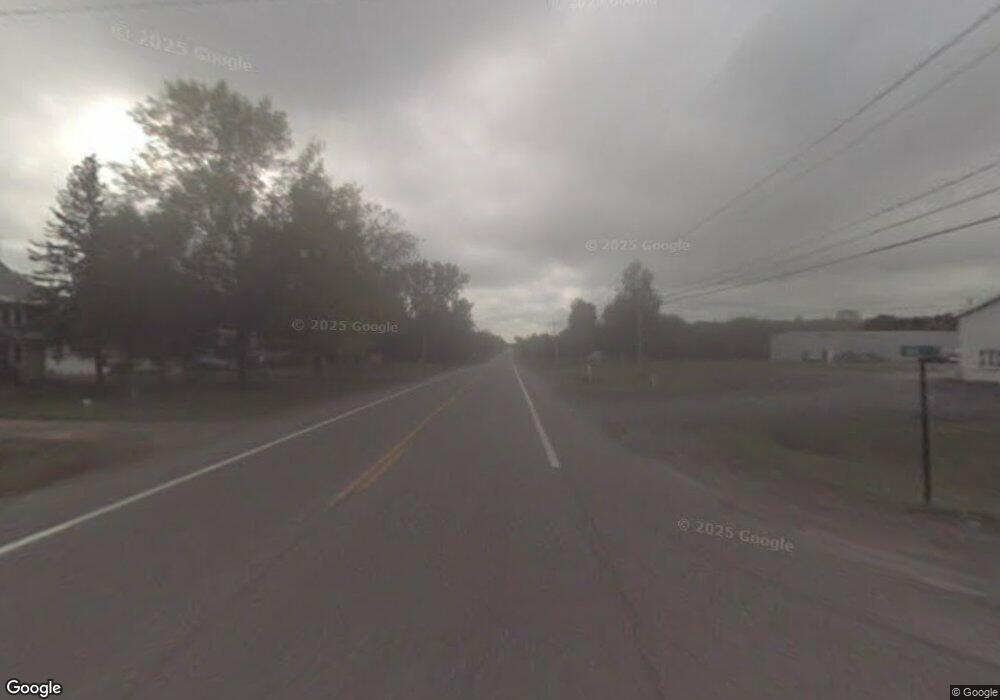
This home is located at 5974 State Route 233, Rome, NY 13440 and is currently estimated at $342,105, approximately $138 per square foot. 5974 State Route 233 is a home located in Oneida County with nearby schools including Westmoreland Primary Elementary School, Westmoreland Middle School, and Westmoreland Junior/Senior High School.
Ownership History
Date
Name
Owned For
Owner Type
Purchase Details
Closed on
Jun 15, 2021
Sold by
W A & Linda L Worth Irt
Bought by
Rogers Mark A
Current Estimated Value
Home Financials for this Owner
Home Financials are based on the most recent Mortgage that was taken out on this home.
Original Mortgage
$215,000
Interest Rate
2.9%
Mortgage Type
Purchase Money Mortgage
Purchase Details
Closed on
Jun 3, 2021
Sold by
W A & Linda L Worth Irt
Bought by
Tophoven Kimberly M
Home Financials for this Owner
Home Financials are based on the most recent Mortgage that was taken out on this home.
Original Mortgage
$215,000
Interest Rate
2.9%
Mortgage Type
Purchase Money Mortgage
Create a Home Valuation Report for This Property
The Home Valuation Report is an in-depth analysis detailing your home's value as well as a comparison with similar homes in the area
Home Values in the Area
Average Home Value in this Area
Purchase History
| Date | Buyer | Sale Price | Title Company |
|---|---|---|---|
| Rogers Mark A | $340,000 | None Available | |
| Tophoven Kimberly M | $14,500 | None Available |
Source: Public Records
Mortgage History
| Date | Status | Borrower | Loan Amount |
|---|---|---|---|
| Previous Owner | Rogers Mark A | $215,000 |
Source: Public Records
Tax History Compared to Growth
Tax History
| Year | Tax Paid | Tax Assessment Tax Assessment Total Assessment is a certain percentage of the fair market value that is determined by local assessors to be the total taxable value of land and additions on the property. | Land | Improvement |
|---|---|---|---|---|
| 2024 | $9,180 | $165,100 | $15,700 | $149,400 |
| 2023 | $1,679 | $165,100 | $15,700 | $149,400 |
| 2022 | $1,679 | $165,100 | $15,700 | $149,400 |
| 2021 | $0 | $165,100 | $15,700 | $149,400 |
| 2018 | $0 | $165,100 | $15,700 | $149,400 |
| 2016 | $7,168 | $165,100 | $15,700 | $149,400 |
Source: Public Records
Map
Nearby Homes
- 5877 State Route 233
- 6173 State Route 233
- 6330 State Route 233
- 6369 State Route 233
- 102 Pazdur Blvd S
- 6750 W Carter Rd
- 6770 Obrien Rd
- 5090 Eureka Rd Unit NS
- 222 Pazdur Blvd W
- 6391 Bartlett Rd
- 6587 Evans Rd
- 5360 Bartlett Rd
- 00 Airport Rd
- 7398 Cider St
- 0 Daily Rd Unit S1614540
- 0 Daily Rd Unit S1614548
- 0 Lower Lawrence St
- 7310 E Main St
- 6209 Airport Rd
- 7689 Rome Oriskany Rd
- 7129 E Carter Rd
- 7121 E Carter Rd
- 7127 E Carter Rd
- 7129 E Carter Rd
- 7125 E Carter Rd
- 7135 E Carter Rd
- 5950 State Route 233
- 7141 E Carter Rd
- 7124 E Carter Rd Unit SS
- 7145 E Carter Rd
- 6415 E Carter Rd
- 5963 State Route 233
- 5955 State Route 233
- 7089 W Carter Rd
- 5906 State Route 233
- 6000 State Route 233
- 7077 W Carter Rd
- 7067 W Carter Rd
- 7157 E Carter Rd Unit NS
- 7153 E Carter Rd
