59754 State Highway 69 Westcliffe, CO 81252
Estimated Value: $540,000 - $733,000
2
Beds
3
Baths
1,932
Sq Ft
$327/Sq Ft
Est. Value
About This Home
This home is located at 59754 State Highway 69, Westcliffe, CO 81252 and is currently estimated at $632,043, approximately $327 per square foot. 59754 State Highway 69 is a home with nearby schools including Custer County Elementary School, Custer Middle School, and Custer County High School.
Ownership History
Date
Name
Owned For
Owner Type
Purchase Details
Closed on
Apr 5, 2021
Sold by
Camper Jimmy Allen and Tamagni Camper Katherine
Bought by
Vick Kylie A and Vick Michael
Current Estimated Value
Home Financials for this Owner
Home Financials are based on the most recent Mortgage that was taken out on this home.
Original Mortgage
$450,000
Outstanding Balance
$404,978
Interest Rate
2.8%
Mortgage Type
VA
Estimated Equity
$227,065
Purchase Details
Closed on
Dec 4, 2007
Sold by
Camper Jimmy A
Bought by
Ute Valley Builders Inc
Purchase Details
Closed on
Nov 28, 2007
Sold by
Wetherbee Lisa A
Bought by
Camper Jimmy A
Create a Home Valuation Report for This Property
The Home Valuation Report is an in-depth analysis detailing your home's value as well as a comparison with similar homes in the area
Home Values in the Area
Average Home Value in this Area
Purchase History
| Date | Buyer | Sale Price | Title Company |
|---|---|---|---|
| Vick Kylie A | $450,000 | None Available | |
| Ute Valley Builders Inc | -- | -- | |
| Camper Jimmy A | -- | -- |
Source: Public Records
Mortgage History
| Date | Status | Borrower | Loan Amount |
|---|---|---|---|
| Open | Vick Kylie A | $450,000 |
Source: Public Records
Tax History Compared to Growth
Tax History
| Year | Tax Paid | Tax Assessment Tax Assessment Total Assessment is a certain percentage of the fair market value that is determined by local assessors to be the total taxable value of land and additions on the property. | Land | Improvement |
|---|---|---|---|---|
| 2024 | $2,731 | $47,041 | $0 | $0 |
| 2023 | $2,731 | $47,040 | $0 | $0 |
| 2022 | $1,893 | $29,370 | $890 | $28,480 |
| 2021 | $1,468 | $29,370 | $890 | $28,480 |
| 2020 | $1,208 | $25,650 | $890 | $24,760 |
| 2019 | $1,202 | $25,650 | $890 | $24,760 |
| 2018 | $998 | $22,480 | $900 | $21,580 |
| 2017 | $968 | $22,485 | $900 | $21,585 |
| 2016 | $1,486 | $24,410 | $1,000 | $23,410 |
| 2015 | -- | $306,597 | $12,500 | $294,097 |
| 2012 | $1,506 | $315,985 | $12,500 | $303,485 |
Source: Public Records
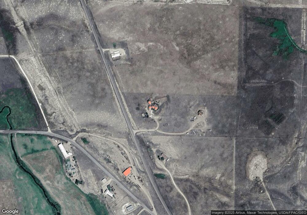
Map
Nearby Homes
- 138 Jerry Dr
- 900 County Road 241
- 144 Jerry Dr
- 104 Crista Ln
- 60 Pyrite Cir
- 114 Jerry Dr
- 70 Mineral Rd
- 70 Mineral Rd Unit 87
- 900 County Rd 241
- Lot 31 Pyrite Cir
- 85 Pyrite Cir
- 1605 County Rd 243
- 1400 County Road 243
- tbd Eagle's Gate Rd
- 104 S 3rd St
- 2400 County Road 305
- 1605 County Road 243
- 880 Main St
- 70 Kryptonite Ct
- 902 W Main St
- 59754 Colorado 69
- 59540 State Highway 69
- 59920 Colorado 69
- 59920 State Highway 69
- 59920 State Highway 69
- 59920 State Highway 69
- 170 County Road 170
- 170 Cr 170
- 170 & 98 Cr 170
- 220 Pines Rd
- 170 & 98 Co Rd 170
- 250 Range View Loop
- 198 Range View Loop
- 60260 N Hwy 69
- 133 Range View Loop
- 200 N Adams Blvd
- 200 N Adams Blvd Unit 333
- 59450 Colorado 69
- 59450 State Highway 69
- 59450 Hwy 69