5977 Highway 20 NE Cartersville, GA 30121
Estimated Value: $158,000 - $318,000
3
Beds
1
Bath
840
Sq Ft
$258/Sq Ft
Est. Value
About This Home
This home is located at 5977 Highway 20 NE, Cartersville, GA 30121 and is currently estimated at $217,114, approximately $258 per square foot. 5977 Highway 20 NE is a home located in Bartow County with nearby schools including Cloverleaf Elementary School, Red Top Middle School, and Woodland High School.
Ownership History
Date
Name
Owned For
Owner Type
Purchase Details
Closed on
Apr 1, 2011
Sold by
Cpi Housing Fund Llc
Bought by
Miller Stephen A
Current Estimated Value
Purchase Details
Closed on
Dec 27, 2010
Sold by
Federal National Mortgage Association
Bought by
Cpi Housing Fund Llc
Purchase Details
Closed on
Jun 1, 2010
Sold by
Bac Home Loans Servicing L
Bought by
Federal National Mtg Associati
Purchase Details
Closed on
Nov 3, 2004
Sold by
Poston Robert L
Bought by
Morningside Drive Llc
Create a Home Valuation Report for This Property
The Home Valuation Report is an in-depth analysis detailing your home's value as well as a comparison with similar homes in the area
Home Values in the Area
Average Home Value in this Area
Purchase History
| Date | Buyer | Sale Price | Title Company |
|---|---|---|---|
| Miller Stephen A | $24,000 | -- | |
| Cpi Housing Fund Llc | $6,000 | -- | |
| Federal National Mtg Associati | $67,680 | -- | |
| Bac Home Loans Servicing Lp | $67,680 | -- | |
| Morningside Drive Llc | -- | -- |
Source: Public Records
Tax History Compared to Growth
Tax History
| Year | Tax Paid | Tax Assessment Tax Assessment Total Assessment is a certain percentage of the fair market value that is determined by local assessors to be the total taxable value of land and additions on the property. | Land | Improvement |
|---|---|---|---|---|
| 2024 | $782 | $32,169 | $3,167 | $29,002 |
| 2023 | $782 | $21,601 | $2,754 | $18,847 |
| 2022 | $547 | $21,547 | $2,700 | $18,847 |
| 2021 | $443 | $16,589 | $2,700 | $13,889 |
| 2020 | $456 | $16,589 | $2,700 | $13,889 |
| 2019 | $418 | $15,040 | $1,960 | $13,080 |
| 2018 | $419 | $15,040 | $1,960 | $13,080 |
| 2017 | $421 | $15,040 | $1,960 | $13,080 |
| 2016 | $424 | $15,040 | $1,960 | $13,080 |
| 2015 | $425 | $15,040 | $1,960 | $13,080 |
| 2014 | -- | $13,440 | $1,960 | $11,480 |
| 2013 | -- | $11,360 | $1,960 | $9,400 |
Source: Public Records
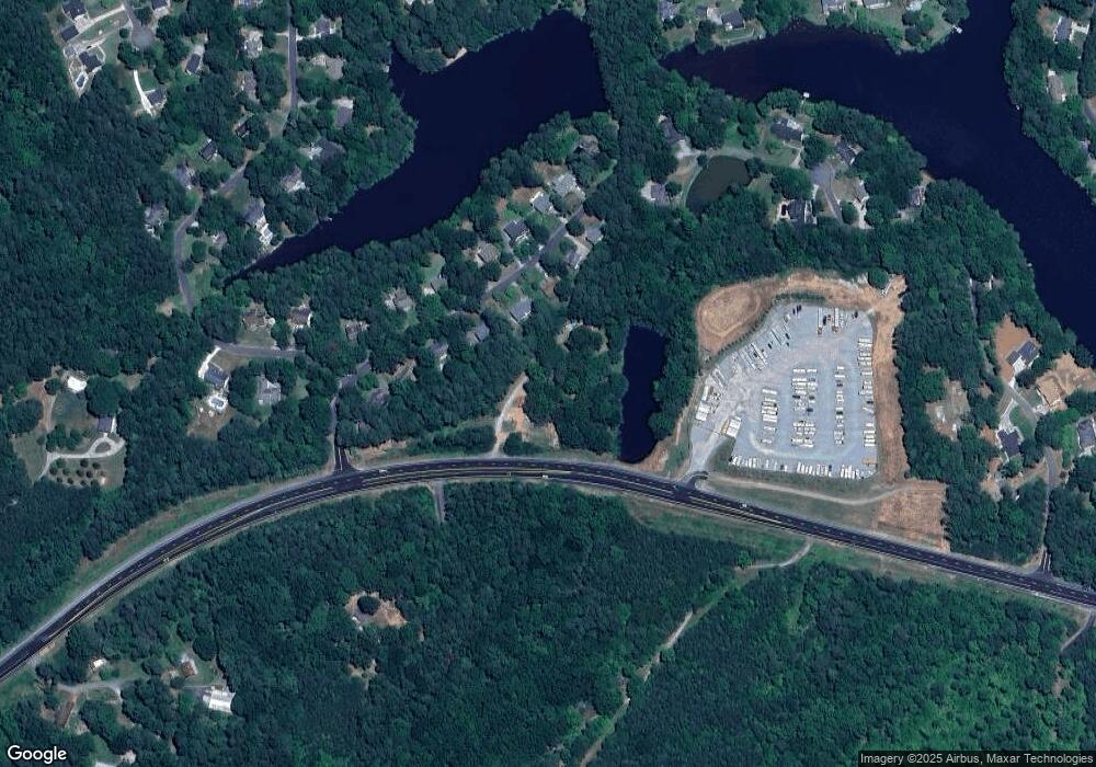
Map
Nearby Homes
- 23 Timberlake Pointe NE
- 49 Timberlake Cove NE
- 55 Rocky Cir NE
- 31 Fawn Lake Trail NE
- 135 Greatwood Dr
- 14 Isabella Ct NE
- 48 Lake Overlook Dr
- 13 Rocky Cir NE
- 50 Lake Overlook Dr
- 298 Boulder Lake Dr NE
- 121 Greatwood Dr
- 52 Lake Overlook Dr
- 47 Wey Bridge Ct
- 11 Lake Overlook Dr
- 57 Lake Overlook Dr
- 57 Lake Overlook Dr Unit 34
- 61 Roberson Dr NE
- 72 Country Creek Rd NE
- 5979 Highway 20 NE
- 5973 Highway 20 NE
- 20 Timberlake Cove NE
- 22 Timberlake Cove NE
- 18 Timberlake Cove NE
- 16 Timberlake Cove NE
- 5993 Highway 20 NE
- 21 Timberlake Cove NE
- 17 Timberlake Cove NE
- 12 Timberlake Cove NE
- 27 Commerce Row NE
- 15 Timberlake Cove NE
- 25 Timberlake Cove NE
- 10 Timberlake Cove NE
- 13 Timberlake Cove NE
- 27 Timberlake Cove NE
- 11 Timberlake Cove NE
- 25 Commerce Row NE
- 14 Timberlake Pointe NE
- 14 Timberlake Cove NE