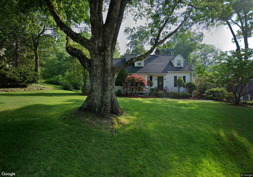
598 Fletcher St Whitinsville, MA 01588
Estimated Value: $471,730 - $565,000
2
Beds
2
Baths
1,922
Sq Ft
$272/Sq Ft
Est. Value
About This Home
This home is located at 598 Fletcher St, Whitinsville, MA 01588 and is currently estimated at $521,933, approximately $271 per square foot. 598 Fletcher St is a home located in Worcester County with nearby schools including Northbridge Elementary School, Northbridge Middle School, and Northbridge High School.
Ownership History
Date
Name
Owned For
Owner Type
Purchase Details
Closed on
Jun 24, 1992
Sold by
Est R Estelle Visser
Bought by
Bouthillette David R and Bouthillette Julie
Current Estimated Value
Home Financials for this Owner
Home Financials are based on the most recent Mortgage that was taken out on this home.
Original Mortgage
$92,000
Interest Rate
8.57%
Mortgage Type
Purchase Money Mortgage
Create a Home Valuation Report for This Property
The Home Valuation Report is an in-depth analysis detailing your home's value as well as a comparison with similar homes in the area
Home Values in the Area
Average Home Value in this Area
Purchase History
| Date | Buyer | Sale Price | Title Company |
|---|---|---|---|
| Bouthillette David R | $115,000 | -- | |
| Bouthillette David R | $115,000 | -- |
Source: Public Records
Mortgage History
| Date | Status | Borrower | Loan Amount |
|---|---|---|---|
| Closed | Bouthillette David R | $92,000 |
Source: Public Records
Tax History Compared to Growth
Tax History
| Year | Tax Paid | Tax Assessment Tax Assessment Total Assessment is a certain percentage of the fair market value that is determined by local assessors to be the total taxable value of land and additions on the property. | Land | Improvement |
|---|---|---|---|---|
| 2025 | $4,590 | $389,300 | $145,200 | $244,100 |
| 2024 | $4,418 | $365,400 | $145,200 | $220,200 |
| 2023 | $4,472 | $345,100 | $145,200 | $199,900 |
| 2022 | $4,051 | $294,200 | $111,800 | $182,400 |
| 2021 | $3,934 | $271,500 | $106,400 | $165,100 |
| 2020 | $3,663 | $264,700 | $106,400 | $158,300 |
| 2019 | $3,323 | $256,200 | $106,400 | $149,800 |
| 2018 | $5,574 | $244,400 | $101,300 | $143,100 |
| 2017 | $3,169 | $234,200 | $101,300 | $132,900 |
| 2016 | $2,987 | $217,200 | $92,000 | $125,200 |
| 2015 | $2,906 | $217,200 | $92,000 | $125,200 |
| 2014 | $2,880 | $217,200 | $92,000 | $125,200 |
Source: Public Records
Map
Nearby Homes
- 235 Rivulet St
- 99 Country Club Dr
- 0 Homestead Ave
- 129 Elm St Unit Lot 7
- 94 Heritage Dr Unit 94
- 35 Highland Park Unit 35
- 36 Elm St
- 307 N Main St
- 128 Linwood Ave
- 9 Banning Dr
- 50 Carrington Ln
- 0 Louis St
- 3 Strathmore Shire Unit A
- 75 Lake St
- 44 Arthur Dr Unit 44
- 18 East St Unit 24
- 60 Tyler Dr
- 121 East St Unit 121
- 22 Bayliss Way
- 26 Bayliss Way
- 588 Fletcher St
- 618 Fletcher St
- 611 Fletcher St
- 576 Fletcher St
- 583 Fletcher St
- 246 Rivulet St
- 635 Fletcher St
- 242 Rivulet St
- 569 Fletcher St
- 559 Fletcher St
- 17 Sylvan Rd
- 551 Fletcher St
- 97 Sylvan Rd
- 544 Fletcher St
- 232 Rivulet St
- 537 Fletcher St Unit 541
- 532 Fletcher St
- 20 Keeler Rd
- 91 Sylvan Rd
- 20 Sylvan Rd