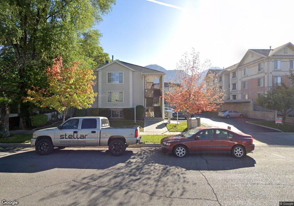
598 N 100 W Provo, UT 84601
Rivergrove NeighborhoodEstimated Value: $286,000 - $314,000
2
Beds
1
Bath
792
Sq Ft
$378/Sq Ft
Est. Value
About This Home
This home is located at 598 N 100 W, Provo, UT 84601 and is currently estimated at $299,368, approximately $377 per square foot. 598 N 100 W is a home located in Utah County with nearby schools including Provo Peaks School, Centennial Middle School, and Timpview High School.
Ownership History
Date
Name
Owned For
Owner Type
Purchase Details
Closed on
Aug 31, 2016
Sold by
Anderson Matthew E and Anderson Kelly King
Bought by
Russell Daniel
Current Estimated Value
Home Financials for this Owner
Home Financials are based on the most recent Mortgage that was taken out on this home.
Original Mortgage
$90,000
Outstanding Balance
$71,935
Interest Rate
3.45%
Mortgage Type
Credit Line Revolving
Estimated Equity
$227,433
Purchase Details
Closed on
Aug 27, 1998
Sold by
Houghton Mary E
Bought by
Anderson Matthew E and Anderson Kelly King
Home Financials for this Owner
Home Financials are based on the most recent Mortgage that was taken out on this home.
Original Mortgage
$83,750
Interest Rate
6.91%
Purchase Details
Closed on
Jan 6, 1997
Sold by
Collier Mary E
Bought by
Houghton Mary E
Home Financials for this Owner
Home Financials are based on the most recent Mortgage that was taken out on this home.
Original Mortgage
$16,500
Interest Rate
7.53%
Create a Home Valuation Report for This Property
The Home Valuation Report is an in-depth analysis detailing your home's value as well as a comparison with similar homes in the area
Home Values in the Area
Average Home Value in this Area
Purchase History
| Date | Buyer | Sale Price | Title Company |
|---|---|---|---|
| Russell Daniel | -- | Gt Title Services | |
| Anderson Matthew E | -- | First American Title | |
| Houghton Mary E | -- | -- |
Source: Public Records
Mortgage History
| Date | Status | Borrower | Loan Amount |
|---|---|---|---|
| Open | Russell Daniel | $90,000 | |
| Previous Owner | Anderson Matthew E | $83,750 | |
| Previous Owner | Houghton Mary E | $16,500 |
Source: Public Records
Tax History Compared to Growth
Tax History
| Year | Tax Paid | Tax Assessment Tax Assessment Total Assessment is a certain percentage of the fair market value that is determined by local assessors to be the total taxable value of land and additions on the property. | Land | Improvement |
|---|---|---|---|---|
| 2025 | $1,462 | $152,240 | $30,800 | $246,000 |
| 2024 | $1,462 | $143,880 | $0 | $0 |
| 2023 | $1,587 | $154,000 | $0 | $0 |
| 2022 | $1,260 | $123,255 | $0 | $0 |
| 2021 | $1,059 | $180,700 | $21,700 | $159,000 |
| 2020 | $1,044 | $167,000 | $20,000 | $147,000 |
| 2019 | $909 | $151,200 | $17,000 | $134,200 |
| 2018 | $830 | $140,000 | $17,000 | $123,000 |
| 2017 | $725 | $67,265 | $0 | $0 |
| 2016 | $695 | $60,060 | $0 | $0 |
| 2015 | $661 | $57,750 | $0 | $0 |
| 2014 | $634 | $57,750 | $0 | $0 |
Source: Public Records
Map
Nearby Homes
- 836 N University Ave Unit 111
- 136 E 400 N Unit 107
- 136 E 400 N Unit 108
- 250 N 100 W Unit 109
- 466 N 200 E
- 361 N 300 W Unit 201
- 75 E 200 N Unit 106
- 394 N 300 E
- 142 N 100 E
- 690 N 600 W
- 556 W 800 N Unit 18
- 595 N 600 W
- 810 N 600 W
- 828 N 600 W
- 614 W 400 N
- 319 E 100 N
- 541 E 500 N Unit 10
- 541 E 500 N Unit 12
- 40 S Freedom Blvd
- 358 E 100 N