Estimated Value: $293,321 - $320,000
3
Beds
3
Baths
1,763
Sq Ft
$175/Sq Ft
Est. Value
About This Home
This home is located at 598 Simon Camp Rd, Jesup, GA 31545 and is currently estimated at $308,830, approximately $175 per square foot. 598 Simon Camp Rd is a home located in Wayne County with nearby schools including Odum Elementary School, Martha Puckett Middle School, and Wayne County High School.
Ownership History
Date
Name
Owned For
Owner Type
Purchase Details
Closed on
Mar 17, 2025
Sold by
Chambless Somer W
Bought by
Chambless Ricky A and Chambless Somer W
Current Estimated Value
Purchase Details
Closed on
Mar 28, 2007
Sold by
Tyre Michael
Bought by
Tyre Somer
Purchase Details
Closed on
May 1, 2003
Purchase Details
Closed on
Jul 1, 2001
Purchase Details
Closed on
Feb 1, 1999
Purchase Details
Closed on
Jan 1, 1998
Purchase Details
Closed on
Apr 1, 1975
Create a Home Valuation Report for This Property
The Home Valuation Report is an in-depth analysis detailing your home's value as well as a comparison with similar homes in the area
Home Values in the Area
Average Home Value in this Area
Purchase History
| Date | Buyer | Sale Price | Title Company |
|---|---|---|---|
| Chambless Ricky A | -- | -- | |
| Tyre Somer | -- | -- | |
| -- | -- | -- | |
| -- | -- | -- | |
| -- | $2,300 | -- | |
| -- | $2,400 | -- | |
| -- | -- | -- |
Source: Public Records
Tax History Compared to Growth
Tax History
| Year | Tax Paid | Tax Assessment Tax Assessment Total Assessment is a certain percentage of the fair market value that is determined by local assessors to be the total taxable value of land and additions on the property. | Land | Improvement |
|---|---|---|---|---|
| 2024 | $2,452 | $97,542 | $5,905 | $91,637 |
| 2023 | $2,625 | $87,487 | $5,905 | $81,582 |
| 2022 | $2,154 | $73,411 | $5,905 | $67,506 |
| 2021 | $2,138 | $68,392 | $5,905 | $62,487 |
| 2020 | $2,237 | $69,119 | $6,632 | $62,487 |
| 2019 | $2,303 | $69,119 | $6,632 | $62,487 |
| 2018 | $140 | $69,119 | $6,632 | $62,487 |
| 2017 | $1,983 | $69,119 | $6,632 | $62,487 |
| 2016 | $1,727 | $62,719 | $6,632 | $56,087 |
| 2014 | $1,732 | $62,719 | $6,632 | $56,087 |
| 2013 | -- | $62,718 | $6,631 | $56,087 |
Source: Public Records
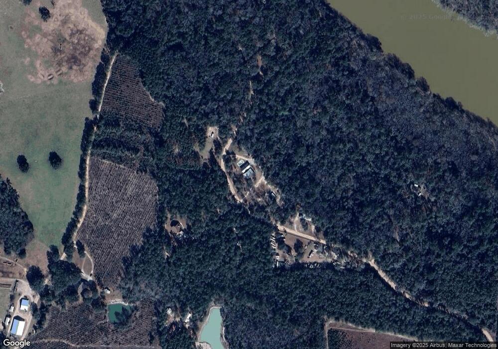
Map
Nearby Homes
- 0 Old River Rd Unit 10329316
- 440 Arnold River Rd
- 330 Troy Pearson Rd
- 239 Troy Pearson Rd
- 761 Addies Alley
- 177 Northshore Ave
- 88 Northshore Ave
- 192 Northshore Ave
- 200 Northshore Ave
- 438 Boardwalk Ave
- 21 Forest Rd
- Morris Break Rd
- Morris Break Rd
- Morris Break Rd
- 11235 Lanes Bridge Rd
- 92 Sparrow Ln
- 128 Three C Rd
- 236 Three C Rd
- 272 Three C Rd
- 300 Three C Rd
- 701 Simon Camp Rd
- 365 Old River Rd
- 788 Simon Camp Rd
- 565 Simon Camp Rd
- 535 Simon Camp Rd
- 767 Old River Rd
- 425 Simon Camp Rd
- 950 Old River Rd
- 1045 Old River Rd
- 0 Old River Rd Unit 7543623
- 0 Old River Rd Unit 1647551
- 0 Old River Rd Unit 113080
- 0 Old River Rd Unit 117300
- 1199 Old River Rd
- 31 Arnold River Rd
- 2092 New Hope Rd
- 315 Arnold River Rd
- 2550 New Hope Rd
- 1415 Old River Rd
- 6614 4 Arnold River Rd