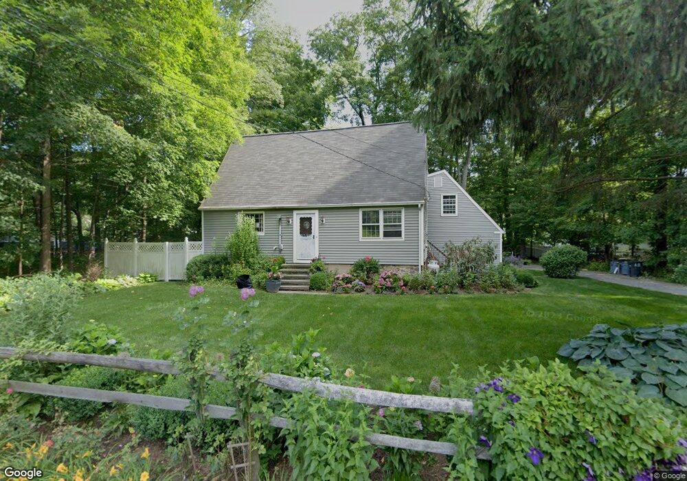
598 Wire Mill Rd Stamford, CT 06903
North Stamford NeighborhoodEstimated Value: $716,902 - $972,000
3
Beds
2
Baths
1,935
Sq Ft
$430/Sq Ft
Est. Value
About This Home
This home is located at 598 Wire Mill Rd, Stamford, CT 06903 and is currently estimated at $832,976, approximately $430 per square foot. 598 Wire Mill Rd is a home located in Fairfield County with nearby schools including Northeast Elementary School, Turn of River School, and Westhill High School.
Ownership History
Date
Name
Owned For
Owner Type
Purchase Details
Closed on
May 21, 1991
Sold by
Seeing Eye Inc
Bought by
Bateman John and Bateman Georgette
Current Estimated Value
Home Financials for this Owner
Home Financials are based on the most recent Mortgage that was taken out on this home.
Original Mortgage
$190,000
Interest Rate
7.75%
Mortgage Type
Unknown
Purchase Details
Closed on
Sep 18, 1987
Sold by
Staeger Diana
Bought by
Murphy Dennis
Home Financials for this Owner
Home Financials are based on the most recent Mortgage that was taken out on this home.
Original Mortgage
$250,000
Interest Rate
10.35%
Create a Home Valuation Report for This Property
The Home Valuation Report is an in-depth analysis detailing your home's value as well as a comparison with similar homes in the area
Home Values in the Area
Average Home Value in this Area
Purchase History
| Date | Buyer | Sale Price | Title Company |
|---|---|---|---|
| Bateman John | $255,000 | -- | |
| Murphy Dennis | $322,500 | -- |
Source: Public Records
Mortgage History
| Date | Status | Borrower | Loan Amount |
|---|---|---|---|
| Open | Murphy Dennis | $480,000 | |
| Closed | Murphy Dennis | $190,000 | |
| Previous Owner | Murphy Dennis | $250,000 |
Source: Public Records
Tax History
| Year | Tax Paid | Tax Assessment Tax Assessment Total Assessment is a certain percentage of the fair market value that is determined by local assessors to be the total taxable value of land and additions on the property. | Land | Improvement |
|---|---|---|---|---|
| 2025 | $9,045 | $388,680 | $251,920 | $136,760 |
| 2024 | $8,846 | $388,680 | $251,920 | $136,760 |
| 2023 | $9,507 | $388,680 | $251,920 | $136,760 |
| 2022 | $8,094 | $307,400 | $190,490 | $116,910 |
| 2021 | $7,983 | $307,400 | $190,490 | $116,910 |
| 2020 | $7,786 | $307,400 | $190,490 | $116,910 |
| 2019 | $7,786 | $307,400 | $190,490 | $116,910 |
| 2018 | $7,516 | $307,400 | $190,490 | $116,910 |
| 2017 | $7,527 | $279,900 | $174,620 | $105,280 |
| 2016 | $6,947 | $279,900 | $174,620 | $105,280 |
| 2015 | $6,757 | $279,900 | $174,620 | $105,280 |
| 2014 | $6,524 | $279,900 | $174,620 | $105,280 |
Source: Public Records
Map
Nearby Homes
- 64 Alpine St
- 36 Somerset Ln
- 7 the Reserve at Sterling Ridge
- 95 Intervale Rd Unit 46
- 223 Red Fox Rd
- 15 Four Brooks Cir
- 156 Intervale Rd
- 78 Vine Rd
- 14 Barmore Dr
- 55 Merriman Rd
- 48 Briarwood Ln
- 35 Archer Ln
- 97 Davenport Ridge Ln
- 136 Shadow Ridge Rd
- 119 Wedgemere Rd
- 37 Quarry Rd
- 14 Chestnut Hill Rd
- 47 Wood Ridge Dr
- 53 Waterview Way
- 53 Waterview Way Unit 53
- 614 Wire Mill Rd
- 606 Wire Mill Rd
- 612 Wire Mill Rd
- 622 Wire Mill Rd
- 578 Wire Mill Rd
- 628 Wire Mill Rd
- 1236 High Ridge Rd
- 1240 High Ridge Rd
- 1248 High Ridge Rd
- 31 Blackwood Ln
- 22 Blackwood Ln
- 68 Opper Rd
- 1241 High Ridge Rd
- 1249 High Ridge Rd
- 76 Opper Rd
- 1253 High Ridge Rd
- 56 Opper Rd
- 1261 High Ridge Rd
- 1239 High Ridge Rd
- 543 Wire Mill Rd
Your Personal Tour Guide
Ask me questions while you tour the home.