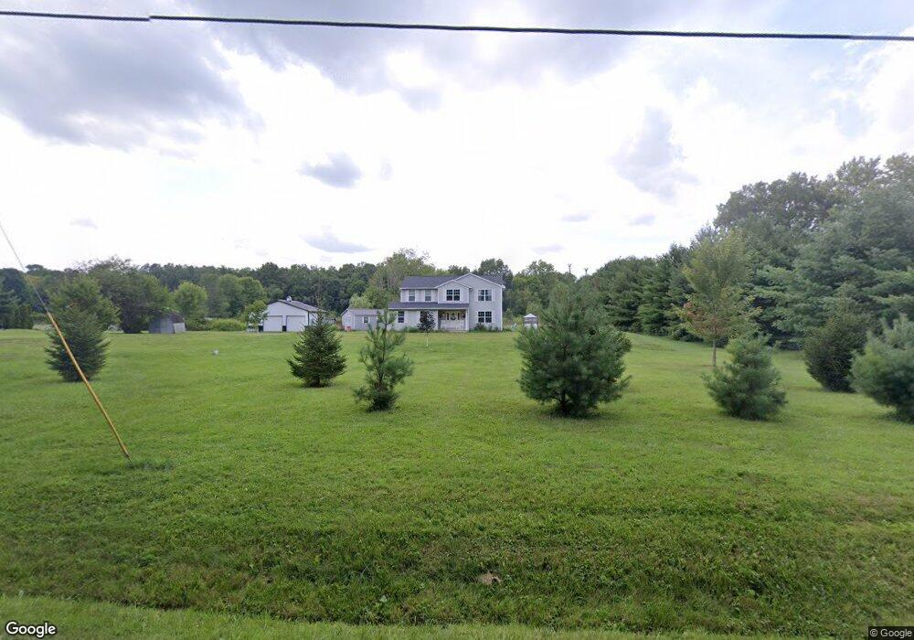
5985 Nichols Ln Johnstown, OH 43031
Estimated Value: $557,000 - $1,187,000
3
Beds
3
Baths
2,011
Sq Ft
$366/Sq Ft
Est. Value
About This Home
This home is located at 5985 Nichols Ln, Johnstown, OH 43031 and is currently estimated at $735,377, approximately $365 per square foot. 5985 Nichols Ln is a home located in Licking County with nearby schools including Johnstown Middle School and Johnstown High School.
Ownership History
Date
Name
Owned For
Owner Type
Purchase Details
Closed on
Jan 30, 2017
Sold by
Wright Vincent P and Wright Tamara J
Bought by
Wise Ralph and Wise Theresa
Current Estimated Value
Home Financials for this Owner
Home Financials are based on the most recent Mortgage that was taken out on this home.
Original Mortgage
$267,150
Outstanding Balance
$222,303
Interest Rate
4.32%
Mortgage Type
Future Advance Clause Open End Mortgage
Estimated Equity
$513,074
Purchase Details
Closed on
Jun 3, 1997
Sold by
Evans Howard L
Bought by
Wright Vincent P and Wright Tamara J
Home Financials for this Owner
Home Financials are based on the most recent Mortgage that was taken out on this home.
Original Mortgage
$76,900
Interest Rate
8.27%
Mortgage Type
New Conventional
Create a Home Valuation Report for This Property
The Home Valuation Report is an in-depth analysis detailing your home's value as well as a comparison with similar homes in the area
Home Values in the Area
Average Home Value in this Area
Purchase History
| Date | Buyer | Sale Price | Title Company |
|---|---|---|---|
| Wise Ralph | $110,000 | Signature Title | |
| Wright Vincent P | $79,900 | -- |
Source: Public Records
Mortgage History
| Date | Status | Borrower | Loan Amount |
|---|---|---|---|
| Open | Wise Ralph | $267,150 | |
| Previous Owner | Wright Vincent P | $76,900 |
Source: Public Records
Tax History
| Year | Tax Paid | Tax Assessment Tax Assessment Total Assessment is a certain percentage of the fair market value that is determined by local assessors to be the total taxable value of land and additions on the property. | Land | Improvement |
|---|---|---|---|---|
| 2024 | $5,750 | $149,460 | $54,290 | $95,170 |
| 2023 | $5,803 | $149,460 | $54,290 | $95,170 |
| 2022 | $5,826 | $129,890 | $40,080 | $89,810 |
| 2021 | $5,810 | $129,890 | $40,080 | $89,810 |
| 2020 | $5,859 | $129,890 | $40,080 | $89,810 |
| 2019 | $5,109 | $105,670 | $30,840 | $74,830 |
| 2017 | $2,121 | $0 | $0 | $0 |
| 2016 | $1,923 | $0 | $0 | $0 |
| 2015 | $1,958 | $0 | $0 | $0 |
| 2014 | $2,603 | $0 | $0 | $0 |
| 2013 | $1,682 | $0 | $0 | $0 |
Source: Public Records
Map
Nearby Homes
- 8092 Concord Rd
- 8174 Windy Hollow Rd
- 320 Middleburn St
- 324 Bottecchia Blvd
- 332 Bottecchia Blvd
- 676 Norfolk Ct Unit 35
- 7664 Denunes Rd
- 6454 Castle Rd
- 0 Castle Rd
- 213 De Rosa Dr
- 97 Crossing Place
- 557 Cannondale Ave
- 562 Cannondale Ave
- 405 Tyler Station Dr
- 4190 Johnstown Alexandria Rd
- 320 S Main St
- 0 Nichols Ln Unit 225037254
- 283 S Main St
- 152 Elm St
- 0 Concord Rd Unit 225041492
- 5827 Nichols Ln
- 5991 Nichols Ln
- 6088 Nichols Ln
- 5844 Nichols Ln
- 5793 Nichols Ln
- 5818 Nichols Ln
- 6100 Nichols Ln
- 5782 Nichols Ln
- 6107 Nichols Ln
- 4221 Nichols Ln
- 6133 Nichols Ln
- 4180 Nichols Ln
- 4180 Nichols Ln Unit Tract 1
- 6160 Nichols Ln
- 6155 Nichols Ln
- 4175 Nichols Ln
- 6190 Nichols Ln
- 4160 Nichols Ln
- 8587 Concord Rd
- 6221 Nichols Ln
Your Personal Tour Guide
Ask me questions while you tour the home.