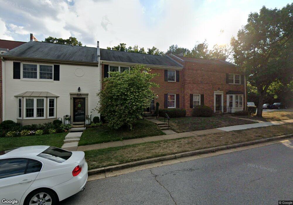
5985 Queenston St Springfield, VA 22152
Estimated Value: $645,000 - $680,000
4
Beds
4
Baths
1,798
Sq Ft
$369/Sq Ft
Est. Value
About This Home
This home is located at 5985 Queenston St, Springfield, VA 22152 and is currently estimated at $663,067, approximately $368 per square foot. 5985 Queenston St is a home located in Fairfax County with nearby schools including Cardinal Forest Elementary School, Irving Middle School, and West Springfield High School.
Ownership History
Date
Name
Owned For
Owner Type
Purchase Details
Closed on
Dec 5, 2024
Sold by
Wilder Timothy E and Wilder Susan P
Bought by
Wilder Family Trust and Wilder
Current Estimated Value
Purchase Details
Closed on
Jun 27, 2003
Sold by
Stewart John R
Bought by
Wilder Timothy E
Home Financials for this Owner
Home Financials are based on the most recent Mortgage that was taken out on this home.
Original Mortgage
$231,000
Interest Rate
5.53%
Mortgage Type
New Conventional
Purchase Details
Closed on
Jul 29, 1996
Sold by
Dullum Theresa
Bought by
Stewart John R
Home Financials for this Owner
Home Financials are based on the most recent Mortgage that was taken out on this home.
Original Mortgage
$181,400
Interest Rate
8.37%
Create a Home Valuation Report for This Property
The Home Valuation Report is an in-depth analysis detailing your home's value as well as a comparison with similar homes in the area
Home Values in the Area
Average Home Value in this Area
Purchase History
| Date | Buyer | Sale Price | Title Company |
|---|---|---|---|
| Wilder Family Trust | -- | None Listed On Document | |
| Wilder Family Trust | -- | None Listed On Document | |
| Wilder Timothy E | $287,000 | -- | |
| Stewart John R | $179,000 | -- |
Source: Public Records
Mortgage History
| Date | Status | Borrower | Loan Amount |
|---|---|---|---|
| Previous Owner | Stewart John R | $231,000 | |
| Previous Owner | Stewart John R | $181,400 |
Source: Public Records
Tax History
| Year | Tax Paid | Tax Assessment Tax Assessment Total Assessment is a certain percentage of the fair market value that is determined by local assessors to be the total taxable value of land and additions on the property. | Land | Improvement |
|---|---|---|---|---|
| 2025 | $7,242 | $640,990 | $200,000 | $440,990 |
| 2024 | $7,242 | $625,120 | $195,000 | $430,120 |
| 2023 | $6,517 | $577,470 | $180,000 | $397,470 |
| 2022 | $6,211 | $543,190 | $160,000 | $383,190 |
| 2021 | $5,856 | $499,030 | $140,000 | $359,030 |
| 2020 | $5,424 | $458,320 | $125,000 | $333,320 |
| 2019 | $5,294 | $447,300 | $120,000 | $327,300 |
| 2018 | $5,031 | $437,480 | $115,000 | $322,480 |
| 2017 | $4,823 | $415,400 | $105,000 | $310,400 |
| 2016 | $4,906 | $423,470 | $110,000 | $313,470 |
Source: Public Records
Map
Nearby Homes
- 8333 Garfield Ct
- 5931 Queenston St
- 6102 Sherborn Ln
- 8330 Darlington St Unit 467
- 8353D Dunham Ct Unit 642
- 6003 Sherborn Ln
- 8526 Forrester Blvd Unit 890
- 8358D Dunham Ct Unit 622
- 5818 Torington Dr Unit 859
- 5913 Prince James Dr Unit J
- 8218 Carrleigh Pkwy Unit 10
- 8210 Carrleigh Pkwy Unit 6
- 5927 Bayshire Rd Unit 115
- 6077 Hollow Hill Ln
- 8674 Center Rd Unit 1
- 8117 Dabney Ave
- 5912 Minutemen Rd Unit 295
- 5925 Minutemen Rd Unit 248
- 8347 Carrleigh Pkwy
- 6025 Greeley Blvd
- 5983 Queenston St
- 5987 Queenston St
- 5981 Queenston St
- 5979 Queenston St
- 5977 Queenston St
- 8414 Oakford Dr
- 5975 Queenston St
- 8416 Oakford Dr
- 8412 Oakford Dr
- 5982 Queenston St
- 5980 Queenston St
- 5984 Queenston St
- 5973 Queenston St
- 5978 Queenston St
- 5989 Queenston St
- 5986 Queenston St
- 5976 Queenston St
- 5971 Queenston St
- 5988 Queenston St
- 5974 Queenston St
Your Personal Tour Guide
Ask me questions while you tour the home.