5985 Reynolds Creek Rd Hillsboro, MO 63050
Estimated Value: $235,089 - $318,000
--
Bed
2
Baths
1,888
Sq Ft
$151/Sq Ft
Est. Value
About This Home
This home is located at 5985 Reynolds Creek Rd, Hillsboro, MO 63050 and is currently estimated at $285,272, approximately $151 per square foot. 5985 Reynolds Creek Rd is a home located in Jefferson County with nearby schools including Hillsboro Elementary School, Hillsboro Primary School, and Hillsboro Middle Elementary School.
Ownership History
Date
Name
Owned For
Owner Type
Purchase Details
Closed on
Jul 25, 2007
Sold by
Braun Steven T
Bought by
Deer Gregory E and Deer Megan E
Current Estimated Value
Purchase Details
Closed on
May 29, 2007
Sold by
Braun Thomas A
Bought by
Braun Steven T
Purchase Details
Closed on
Dec 30, 2002
Sold by
Leonard Sterling and Leonard Gloria A
Bought by
Hoggard Michael W and Hoggard Lisa R
Create a Home Valuation Report for This Property
The Home Valuation Report is an in-depth analysis detailing your home's value as well as a comparison with similar homes in the area
Home Values in the Area
Average Home Value in this Area
Purchase History
| Date | Buyer | Sale Price | Title Company |
|---|---|---|---|
| Deer Gregory E | -- | Ust | |
| Braun Steven T | -- | None Available | |
| Hoggard Michael W | -- | -- |
Source: Public Records
Tax History Compared to Growth
Tax History
| Year | Tax Paid | Tax Assessment Tax Assessment Total Assessment is a certain percentage of the fair market value that is determined by local assessors to be the total taxable value of land and additions on the property. | Land | Improvement |
|---|---|---|---|---|
| 2025 | $1,749 | $31,400 | $3,000 | $28,400 |
| 2024 | $1,749 | $29,000 | $3,000 | $26,000 |
| 2023 | $1,749 | $29,000 | $3,000 | $26,000 |
| 2022 | $1,759 | $29,000 | $3,000 | $26,000 |
| 2021 | $1,889 | $29,000 | $3,000 | $26,000 |
| 2020 | $1,740 | $25,900 | $2,500 | $23,400 |
| 2019 | $1,738 | $25,900 | $2,500 | $23,400 |
| 2018 | $1,587 | $23,600 | $2,500 | $21,100 |
| 2017 | $1,509 | $23,600 | $2,500 | $21,100 |
| 2016 | $1,303 | $19,500 | $2,500 | $17,000 |
| 2015 | $1,348 | $19,500 | $2,500 | $17,000 |
| 2013 | $1,348 | $20,100 | $2,300 | $17,800 |
Source: Public Records
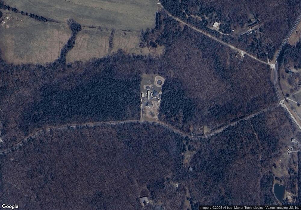
Map
Nearby Homes
- 0 Butcher Branch Rd Unit MAR25024677
- 5848 Forest Dr
- 9909 Sassafras
- 9841 Ridgecrest Dr
- 0 Ridgecrest Dr Unit MIS25071460
- 10243 Lake Ridge Dr
- 14 Bluebird Ct
- 18 Bluebird Ct
- 106 Squirrel Run Ct
- 5753 Forest Dr
- 10068 Waterford Dr
- 5707 Forest Dr
- 10219 Lake Ridge Dr
- 10125 Lake Ridge Dr
- 10155 Lake Ridge Dr
- 847 Dogwood Dr
- 826 Dogwood Dr
- 831 Dogwood Dr
- 835 Dogwood Dr
- 822 Dogwood Dr
- 5983 Reynolds Creek Rd
- 5931 Reynolds Creek Rd
- 5930 Reynolds Creek Rd
- 5930 Reynolds Creek Rd
- 5932 Reynolds Creek Rd
- 5950 Kempa Rd
- 5901 Kempa Rd
- 6001 Kempa Rd
- 5466 State Road B
- 5433 State Road B
- 5460 State Road B
- 5440 Highway B
- 6141 Reynolds Creek Rd
- 5433 Highway B
- 0 Lot 7 Cedar Crest Ln Unit 80007621
- 7 Cedar Crest Ln
- 5425 State Road B
- 5426 State Road B
- 5426 State Road B
- 5426 State Road B