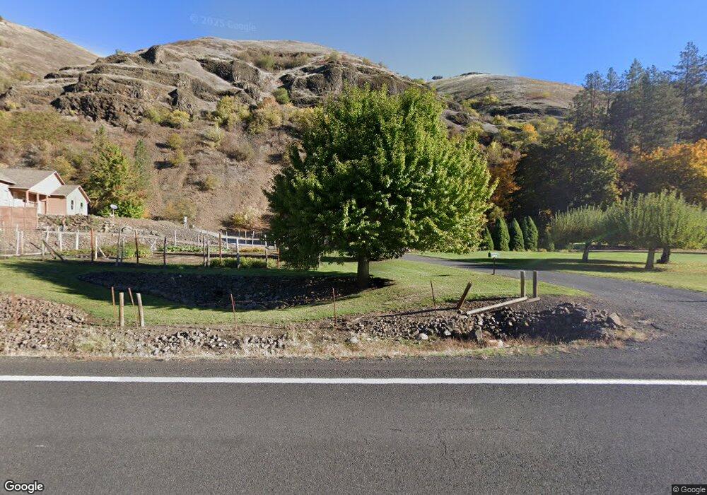
5987 Highway 12 Kooskia, ID 83539
Estimated Value: $617,218 - $1,199,000
--
Bed
--
Bath
1,320
Sq Ft
$624/Sq Ft
Est. Value
About This Home
This home is located at 5987 Highway 12, Kooskia, ID 83539 and is currently estimated at $823,305, approximately $623 per square foot. 5987 Highway 12 is a home located in Idaho County with nearby schools including Clearwater Valley Elementary School and Clearwater Valley Junior/Senior High School.
Ownership History
Date
Name
Owned For
Owner Type
Purchase Details
Closed on
Oct 17, 2012
Sold by
Albert D Hulsey and Albert Rhona L Hulsey Fam
Bought by
Long Randall A and Long Brynn M
Current Estimated Value
Home Financials for this Owner
Home Financials are based on the most recent Mortgage that was taken out on this home.
Original Mortgage
$155,000
Interest Rate
3.52%
Mortgage Type
Purchase Money Mortgage
Create a Home Valuation Report for This Property
The Home Valuation Report is an in-depth analysis detailing your home's value as well as a comparison with similar homes in the area
Home Values in the Area
Average Home Value in this Area
Purchase History
| Date | Buyer | Sale Price | Title Company |
|---|---|---|---|
| Long Randall A | -- | Inland Title |
Source: Public Records
Mortgage History
| Date | Status | Borrower | Loan Amount |
|---|---|---|---|
| Closed | Long Randall A | $155,000 |
Source: Public Records
Tax History Compared to Growth
Tax History
| Year | Tax Paid | Tax Assessment Tax Assessment Total Assessment is a certain percentage of the fair market value that is determined by local assessors to be the total taxable value of land and additions on the property. | Land | Improvement |
|---|---|---|---|---|
| 2025 | $1,823 | $629,749 | $174,445 | $455,304 |
| 2024 | $2,025 | $629,749 | $174,445 | $455,304 |
| 2023 | $1,103 | $629,749 | $174,445 | $455,304 |
| 2022 | $1,434 | $609,231 | $228,257 | $380,974 |
| 2021 | $1,421 | $538,389 | $157,415 | $380,974 |
| 2020 | $1,209 | $430,711 | $125,932 | $304,779 |
| 2019 | $2,279 | $430,711 | $125,932 | $304,779 |
| 2018 | $2,063 | $391,556 | $114,484 | $277,072 |
| 2017 | $2,069 | $394,818 | $108,972 | $285,846 |
| 2016 | $2,179 | $394,818 | $108,972 | $285,846 |
| 2014 | -- | $0 | $0 | $0 |
| 2013 | -- | $0 | $0 | $0 |
Source: Public Records
Map
Nearby Homes
- 181 Harris Ridge Loop
- 366 Too Kush Rd
- 151 Ranta Rd
- 216 Ulmer Rd
- 117 Suttler Creek Rd
- 207 Amber Ave
- 627 Raeder St
- 268 Long Bluff Rd
- 716 Raeder St
- 0 Nna River Run Unit 25-3534
- 729 Raeder St
- 705 Nelson Ave
- TBD Mill St
- 133 Trenary Rd
- TBD Hwy 13
- 217 S Main St
- 204 & 206 Front St
- TBD Tahoe Loop
- 698 Leitch Creek Rd
- 191 Battle Ridge Rd