Estimated Value: $699,000 - $838,000
4
Beds
4
Baths
2,655
Sq Ft
$282/Sq Ft
Est. Value
About This Home
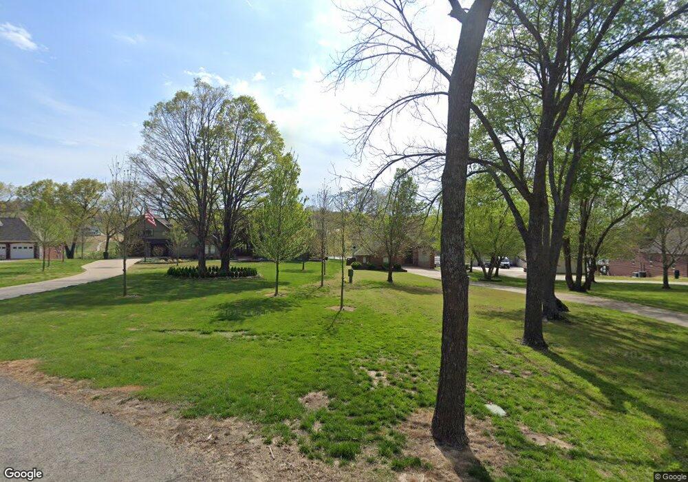
This home is located at 59899 E 333 Rd, Grove, OK 74344 and is currently estimated at $748,772, approximately $282 per square foot. 59899 E 333 Rd is a home located in Delaware County with nearby schools including Grove Lower Elementary School, Grove Upper Elementary School, and Grove Middle School.
Ownership History
Date
Name
Owned For
Owner Type
Purchase Details
Closed on
Jun 14, 2018
Sold by
Conger Mark A and Conger Becky M
Bought by
Mills David C and Mills Bobbi J
Current Estimated Value
Home Financials for this Owner
Home Financials are based on the most recent Mortgage that was taken out on this home.
Original Mortgage
$392,000
Outstanding Balance
$338,299
Interest Rate
4.5%
Mortgage Type
New Conventional
Estimated Equity
$410,473
Create a Home Valuation Report for This Property
The Home Valuation Report is an in-depth analysis detailing your home's value as well as a comparison with similar homes in the area
Purchase History
| Date | Buyer | Sale Price | Title Company |
|---|---|---|---|
| Mills David C | $490,000 | Grand River Abstract & Title |
Source: Public Records
Mortgage History
| Date | Status | Borrower | Loan Amount |
|---|---|---|---|
| Open | Mills David C | $392,000 |
Source: Public Records
Tax History
| Year | Tax Paid | Tax Assessment Tax Assessment Total Assessment is a certain percentage of the fair market value that is determined by local assessors to be the total taxable value of land and additions on the property. | Land | Improvement |
|---|---|---|---|---|
| 2025 | $5,120 | $63,235 | $13,692 | $49,543 |
| 2024 | $4,876 | $60,224 | $13,117 | $47,107 |
| 2023 | $4,876 | $57,356 | $12,998 | $44,358 |
| 2022 | $4,561 | $54,625 | $12,974 | $41,651 |
| 2021 | $4,551 | $54,625 | $12,974 | $41,651 |
| 2020 | $4,628 | $54,625 | $12,974 | $41,651 |
| 2019 | $4,645 | $54,625 | $12,974 | $41,651 |
| 2018 | $4,355 | $51,317 | $12,974 | $38,343 |
| 2017 | $4,312 | $50,646 | $12,974 | $37,672 |
| 2016 | $4,115 | $48,364 | $12,974 | $35,390 |
| 2015 | $4,184 | $48,466 | $12,859 | $35,607 |
| 2014 | $4,204 | $48,466 | $12,859 | $35,607 |
Source: Public Records
Map
Nearby Homes
- 0 E 333 Rd
- 59951 E 333 Rd
- 0 S 597 Trail Unit 25-2687
- Tract 3 S 595 Rd
- 59650 E 335 Rd
- 32981 S 597 Rd
- 59001 E 325 Ln
- 58930 E 332 Rd
- TBD E 325 (Parcel 6) Trail
- Parcel 2 E 325 Ln
- 59510 E 324 Rd
- Rr
- 32106 S 603 Ln
- Lot 14 Block 6 (Piney Woods) E 330 Loop
- Lot 14 Block 9 (Piney Woods) E 330 Loop
- Lot 15 Block 9 (Piney Woods) E 330 Loop
- Lot 13 Block 9 (Piney Woods) E 330 Loop
- TBD S 303 Ln
- 0 E Tbd 318 (Lot 38) Ln Unit 26-415
- Lot 13 Block 9(piney Woods)e 330 Loop
- 59899 E 333 Rd
- 59901 E 333 Rd
- 33581 S 595 Rd
- 59895 E 333 Rd
- 59911 E 333 Rd
- 59893 E 333 Rd
- 59891 E 333 Rd
- 59930 E 333 Rd
- 59921 E 333 Rd
- 59931 E 333 Rd
- 59892 E 333 Rd
- E 333 RD Rd Unit 36
- 333 E 333 Rd Unit 35
- 13 & 14 E 333 Rd
- Lot 33 E 333 Rd
- 59890 E 333 Rd
- 59896 E 333 Rd
- 31726 S 599 Rd
- 59887 E 333 Rd
- 59888 E 333 Rd
Your Personal Tour Guide
Ask me questions while you tour the home.