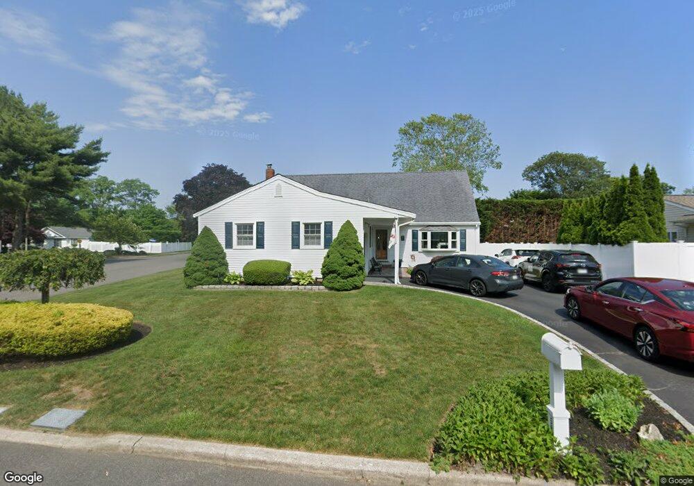
599 Bayport Ave Bayport, NY 11705
Estimated Value: $669,539 - $719,000
--
Bed
--
Bath
1,884
Sq Ft
$366/Sq Ft
Est. Value
About This Home
This home is located at 599 Bayport Ave, Bayport, NY 11705 and is currently estimated at $689,635, approximately $366 per square foot. 599 Bayport Ave is a home located in Suffolk County with nearby schools including James Wilson Young Middle School, Bayport Blue Point High School, and Holy Angels Regional School.
Ownership History
Date
Name
Owned For
Owner Type
Purchase Details
Closed on
Feb 24, 2021
Sold by
Kalyvas Ted and Seedy Dore M
Bought by
Seely Dore M
Current Estimated Value
Home Financials for this Owner
Home Financials are based on the most recent Mortgage that was taken out on this home.
Original Mortgage
$232,700
Interest Rate
2.7%
Mortgage Type
Stand Alone Refi Refinance Of Original Loan
Purchase Details
Closed on
Aug 28, 2007
Sold by
Dimartino John
Bought by
Kalyras Ted
Create a Home Valuation Report for This Property
The Home Valuation Report is an in-depth analysis detailing your home's value as well as a comparison with similar homes in the area
Home Values in the Area
Average Home Value in this Area
Purchase History
| Date | Buyer | Sale Price | Title Company |
|---|---|---|---|
| Seely Dore M | -- | None Available | |
| Seely Dore M | -- | None Available | |
| Kalyras Ted | $440,000 | Robin Long | |
| Kalyras Ted | $440,000 | Robin Long |
Source: Public Records
Mortgage History
| Date | Status | Borrower | Loan Amount |
|---|---|---|---|
| Previous Owner | Seely Dore M | $232,700 |
Source: Public Records
Tax History Compared to Growth
Tax History
| Year | Tax Paid | Tax Assessment Tax Assessment Total Assessment is a certain percentage of the fair market value that is determined by local assessors to be the total taxable value of land and additions on the property. | Land | Improvement |
|---|---|---|---|---|
| 2024 | $13,080 | $39,800 | $10,200 | $29,600 |
| 2023 | $13,080 | $39,800 | $10,200 | $29,600 |
| 2022 | $11,468 | $39,800 | $10,200 | $29,600 |
| 2021 | $11,468 | $39,800 | $10,200 | $29,600 |
| 2020 | $11,468 | $39,800 | $10,200 | $29,600 |
| 2019 | $11,468 | $39,800 | $10,200 | $29,600 |
| 2018 | -- | $39,800 | $10,200 | $29,600 |
| 2017 | $10,924 | $39,800 | $10,200 | $29,600 |
| 2016 | $10,599 | $39,800 | $10,200 | $29,600 |
| 2015 | -- | $39,800 | $10,200 | $29,600 |
| 2014 | -- | $39,800 | $10,200 | $29,600 |
Source: Public Records
Map
Nearby Homes
- 0 Sylvan Ave
- 510 Bayport Ave
- 41 Eatondale Ave
- 92 Barrett Ave
- 462 Bayport Ave
- 63 Division Ave
- 677 Montauk Hwy
- 186 Halley Dr
- 2 Oyster Cove Ln
- 6 Oyster Cove Ln
- 64 Highland Ave
- 48 Lumur Dr
- 81 Old Broadway Ave
- 92 Park St
- 230 Kensington Ave
- 28 S Pinelake Dr
- 181 Blue Point Ave
- 21 S Summit Ave
- 49 S Summit Ave
- 7 Kent Ct
- 595 Bayport Ave
- 232 Barrett Ave
- 228 Barrett Ave
- 596 Bayport Ave
- 226 Barrett Ave
- 591 Bayport Ave
- 2 Glenwood Ct
- 592 Bayport Ave
- 592 Bayport Ave
- 222 Barrett Ave
- 587 Bayport Ave
- 3 Glenwood Ct
- 590 Bayport Ave
- 220 Barrett Ave
- 8 Glenwood Ct
- 583 Bayport Ave
- 584 Bayport Ave
- 216 Barrett Ave
- 584 Bayport Ave
- 9 Glenwood Ct