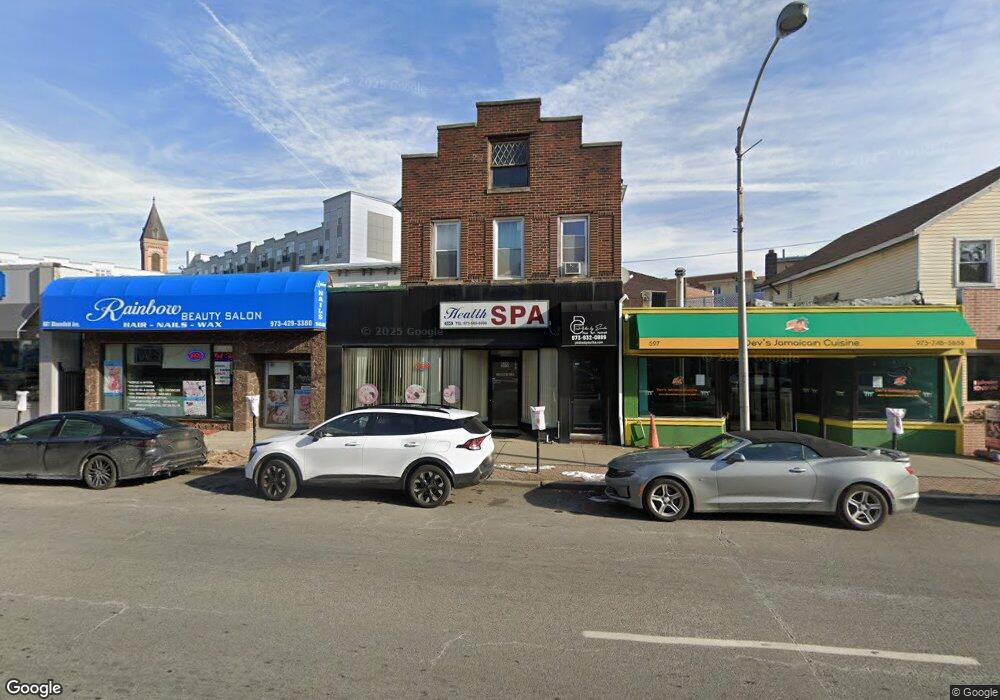
599 Bloomfield Ave Bloomfield, NJ 07003
Estimated Value: $650,813 - $909,000
Studio
--
Bath
3,173
Sq Ft
$246/Sq Ft
Est. Value
About This Home
This home is located at 599 Bloomfield Ave, Bloomfield, NJ 07003 and is currently estimated at $779,907, approximately $245 per square foot. 599 Bloomfield Ave is a home located in Essex County with nearby schools including Fairview School, Bloomfield Middle School, and Bloomfield High School.
Ownership History
Date
Name
Owned For
Owner Type
Purchase Details
Closed on
Oct 20, 2003
Sold by
Hastick Bernard
Bought by
Wk Investments Inc
Current Estimated Value
Purchase Details
Closed on
Oct 30, 2002
Sold by
Lou Rocco Shoes Inc
Bought by
Hastick Bernard
Home Financials for this Owner
Home Financials are based on the most recent Mortgage that was taken out on this home.
Original Mortgage
$180,000
Interest Rate
6.16%
Mortgage Type
Commercial
Create a Home Valuation Report for This Property
The Home Valuation Report is an in-depth analysis detailing your home's value as well as a comparison with similar homes in the area
Home Values in the Area
Average Home Value in this Area
Purchase History
| Date | Buyer | Sale Price | Title Company |
|---|---|---|---|
| Wk Investments Inc | $350,000 | -- | |
| Hastick Bernard | $240,000 | -- |
Source: Public Records
Mortgage History
| Date | Status | Borrower | Loan Amount |
|---|---|---|---|
| Previous Owner | Hastick Bernard | $180,000 |
Source: Public Records
Tax History
| Year | Tax Paid | Tax Assessment Tax Assessment Total Assessment is a certain percentage of the fair market value that is determined by local assessors to be the total taxable value of land and additions on the property. | Land | Improvement |
|---|---|---|---|---|
| 2025 | $11,596 | $323,100 | $78,400 | $244,700 |
| 2024 | $11,170 | $323,100 | $78,400 | $244,700 |
| 2022 | $10,956 | $323,100 | $78,400 | $244,700 |
| 2021 | $10,759 | $323,100 | $78,400 | $244,700 |
| 2020 | $10,617 | $323,100 | $78,400 | $244,700 |
| 2019 | $13,877 | $328,600 | $111,100 | $217,500 |
| 2018 | $13,801 | $328,600 | $111,100 | $217,500 |
| 2017 | $13,588 | $328,600 | $111,100 | $217,500 |
| 2016 | $13,440 | $328,600 | $111,100 | $217,500 |
| 2015 | $13,341 | $328,600 | $111,100 | $217,500 |
| 2014 | $13,042 | $328,600 | $111,100 | $217,500 |
Source: Public Records
Map
Nearby Homes
- 545 Bloomfield Ave
- 660 Bloomfield Ave Unit 402
- 660 Bloomfield Ave Unit 403
- 660 Bloomfield Ave Unit 406
- 8 Appleton Rd
- 27 Oakland Ave
- 54 Thomas St
- 198 Glenwood Ave
- 214 Ashland Ave
- 35 Hickory St
- 55 Park Ave Unit 33
- 29 Edgewood Rd
- 14-16 Crown St
- 14 Crown St Unit 16
- 108 Walnut St
- 186 Walnut St Unit 114
- 173 Hillside Ave
- 193 Hillside Ave
- 138 Orange St
- 158 Glenwood Ave
- 599 Bloomfield Ave Unit 1
- 599 Bloomfield Ave Unit 2
- 595 Bloomfield Ave
- 601 Bloomfield Ave
- 601 Bloomfield Ave Unit 2
- 607 Bloomfield Ave
- 24 Broad St Unit 3
- 24 Broad St Unit 2
- 24 Broad St
- 20 Broad St Unit 2
- 20 Broad St
- 604 Bloomfield Ave
- 2 Broad St
- 586 Bloomfield Ave
- 619 Bloomfield Ave Unit 1
- 619 Bloomfield Ave Unit 619
- 619 Bloomfield Ave Unit 9999
- 619 Bloomfield Ave
- 620 Bloomfield Ave Unit PH E
- 620 PH E Bloomfield Ave
Your Personal Tour Guide
Ask me questions while you tour the home.