599 Central Dr Lake Orion, MI 48362
Estimated Value: $889,000 - $1,070,000
3
Beds
3
Baths
2,095
Sq Ft
$451/Sq Ft
Est. Value
About This Home
This home is located at 599 Central Dr, Lake Orion, MI 48362 and is currently estimated at $945,298, approximately $451 per square foot. 599 Central Dr is a home located in Oakland County with nearby schools including Paint Creek Elementary School, Oakview Middle School, and Lake Orion Community High School.
Ownership History
Date
Name
Owned For
Owner Type
Purchase Details
Closed on
Sep 29, 2003
Sold by
Frost Richard J and Frost Laura A
Bought by
Holobaugh Mark S and Holobaugh Theresa A
Current Estimated Value
Home Financials for this Owner
Home Financials are based on the most recent Mortgage that was taken out on this home.
Original Mortgage
$384,000
Interest Rate
6.43%
Mortgage Type
Purchase Money Mortgage
Create a Home Valuation Report for This Property
The Home Valuation Report is an in-depth analysis detailing your home's value as well as a comparison with similar homes in the area
Home Values in the Area
Average Home Value in this Area
Purchase History
| Date | Buyer | Sale Price | Title Company |
|---|---|---|---|
| Holobaugh Mark S | $480,000 | Title One Inc |
Source: Public Records
Mortgage History
| Date | Status | Borrower | Loan Amount |
|---|---|---|---|
| Previous Owner | Holobaugh Mark S | $384,000 |
Source: Public Records
Tax History Compared to Growth
Tax History
| Year | Tax Paid | Tax Assessment Tax Assessment Total Assessment is a certain percentage of the fair market value that is determined by local assessors to be the total taxable value of land and additions on the property. | Land | Improvement |
|---|---|---|---|---|
| 2024 | $8,185 | $446,390 | $0 | $0 |
| 2023 | $7,813 | $404,040 | $0 | $0 |
| 2022 | $9,483 | $340,940 | $0 | $0 |
| 2021 | $9,084 | $337,440 | $0 | $0 |
| 2020 | $7,174 | $325,080 | $0 | $0 |
| 2019 | $6,209 | $304,430 | $0 | $0 |
| 2018 | $8,602 | $290,120 | $0 | $0 |
| 2017 | $8,021 | $290,120 | $0 | $0 |
| 2016 | $7,973 | $258,900 | $0 | $0 |
| 2015 | -- | $247,050 | $0 | $0 |
| 2014 | -- | $221,500 | $0 | $0 |
| 2011 | -- | $198,440 | $0 | $0 |
Source: Public Records
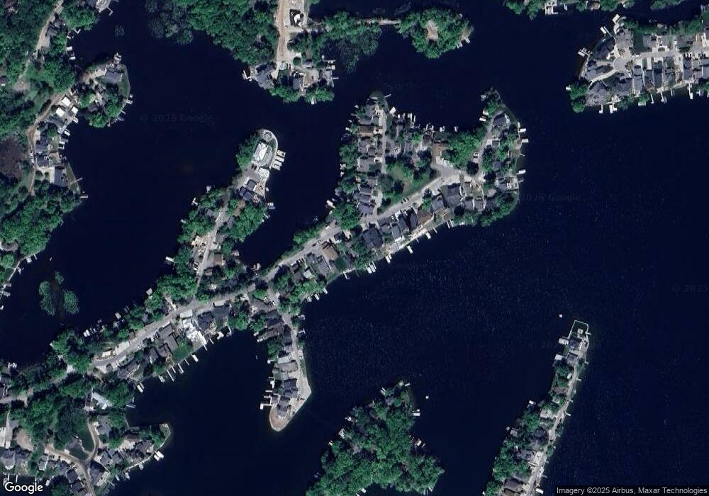
Map
Nearby Homes
- 775 Central Dr
- 47 Sheron St
- 512 Fernhurst Ct
- 610 Longpointe Dr
- 730 Indianwood Rd
- 00 Indianwood Rd
- 34 N Andrews St
- 229 W Flint St
- 599 Westpointe Ct
- 752 Preston Island
- 160 Darling Dr
- 423 Shady Oaks St
- 1156 Seneca Rd
- 1151 Abseguami Trail
- 000 King Cir
- 485 Bellevue Ave
- 1035 Nakomis Trail
- 147 Overlake Dr
- 784 Heights Rd
- 328 S Broadway St
- 121 Central Dr
- 119 Central Dr
- 589 Central Dr
- 607 Central Dr
- 581 Central Dr
- 601 Central Dr
- 623 Central Dr
- 596 Central Dr
- 301 Park Ave
- 571 Central Dr
- 305 Park Ave
- 629 Central Dr
- 311 Park Ave Unit Bldg-Unit
- 311 Park Ave
- 565 Central Dr
- 635 Central Dr
- 317 Park Ave
- 559 Central Dr
- 641 Central Dr
- 323 Park Ave