599 E Avery Station Rd Tunkhannock, PA 18657
Estimated Value: $195,000 - $225,000
--
Bed
--
Bath
--
Sq Ft
9,060
Sq Ft Lot
About This Home
This home is located at 599 E Avery Station Rd, Tunkhannock, PA 18657 and is currently estimated at $210,053. 599 E Avery Station Rd is a home located in Wyoming County with nearby schools including Tunkhannock Middle School and Tunkhannock High School.
Ownership History
Date
Name
Owned For
Owner Type
Purchase Details
Closed on
Nov 13, 2023
Sold by
Herron Tim C and Heron Tim
Bought by
Herron Tim C and Posten Loreli S
Current Estimated Value
Home Financials for this Owner
Home Financials are based on the most recent Mortgage that was taken out on this home.
Original Mortgage
$115,588
Outstanding Balance
$113,598
Interest Rate
7.57%
Estimated Equity
$96,455
Purchase Details
Closed on
May 6, 2011
Sold by
Monsey Kenneth Charles and Zavislak Patricia Ann
Bought by
Monsey Kenneth C and Monsey Phyllis
Home Financials for this Owner
Home Financials are based on the most recent Mortgage that was taken out on this home.
Original Mortgage
$90,000
Interest Rate
4.88%
Mortgage Type
New Conventional
Create a Home Valuation Report for This Property
The Home Valuation Report is an in-depth analysis detailing your home's value as well as a comparison with similar homes in the area
Home Values in the Area
Average Home Value in this Area
Purchase History
| Date | Buyer | Sale Price | Title Company |
|---|---|---|---|
| Herron Tim C | $157,916 | -- | |
| Monsey Kenneth C | $120,000 | None Available |
Source: Public Records
Mortgage History
| Date | Status | Borrower | Loan Amount |
|---|---|---|---|
| Open | Herron Tim C | $115,588 | |
| Previous Owner | Monsey Kenneth C | $90,000 |
Source: Public Records
Tax History Compared to Growth
Tax History
| Year | Tax Paid | Tax Assessment Tax Assessment Total Assessment is a certain percentage of the fair market value that is determined by local assessors to be the total taxable value of land and additions on the property. | Land | Improvement |
|---|---|---|---|---|
| 2025 | $3,869 | $27,610 | $3,255 | $24,355 |
| 2024 | $3,869 | $27,610 | $3,255 | $24,355 |
| 2023 | $3,842 | $27,610 | $3,255 | $24,355 |
| 2022 | $3,801 | $27,610 | $3,255 | $24,355 |
| 2021 | $3,731 | $27,610 | $3,255 | $24,355 |
| 2020 | $3,731 | $27,610 | $3,255 | $24,355 |
| 2019 | $3,676 | $27,610 | $3,255 | $24,355 |
| 2018 | $3,607 | $27,610 | $3,255 | $24,355 |
| 2017 | $3,483 | $0 | $0 | $0 |
| 2016 | -- | $0 | $0 | $0 |
| 2015 | -- | $0 | $0 | $0 |
| 2014 | -- | $0 | $0 | $0 |
Source: Public Records
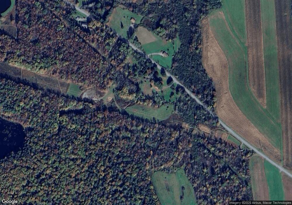
Map
Nearby Homes
- 828 W Avery Station Rd
- 32 Shore Dr
- 1 Pennsylvania 29
- 0 Sr 29n Unit GSBSC256186
- 22 Mount Airy Estate
- 5 Fieldcrest Dr
- 0 Dark Hollow Rd Unit GSBSC255658
- 7 Hollow Crest Rd
- 7 Doran Dr
- 9 Doran Dr
- L77 Eastwoods Rd
- 5115 State Route 3013
- 40 Winola Ave
- 65 Clinton Dr
- 180 Savage Rd
- 1 Sullivan St
- 1 Ford Dr
- 45 Highpoint Dr
- L109 Waterview Ct
- 159 Vail Rd
- 599 E Avery Station Rd
- 824 W Avery Station Rd
- 579 E Avery Station Rd
- 576 E Avery Station Rd
- 564 E Avery Station Rd Unit R
- 144 Tague Rd
- 702 E Avery Station Rd Unit R
- 708 E Avery Station Rd
- 548 E Avery Station Rd
- 7 Stonier Rd
- 49 Tague Rd
- 9 Stonier Rd
- 530 E Avery Station Rd
- 530 E Avery Station Rd
- 40 Tague Rd
- 40 Tague Rd
- 814 E Avery Station Rd Unit R
- 512 E Avery Station Rd
- 512 E Avery Station Rd
- 158 Windy Knob Ln