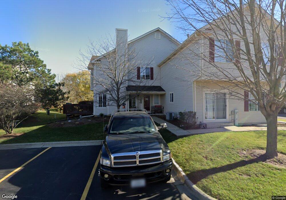
599 Foxridge Dr Unit 34C Fox Lake, IL 60020
Estimated Value: $204,462 - $226,000
--
Bed
2
Baths
1,194
Sq Ft
$178/Sq Ft
Est. Value
About This Home
This home is located at 599 Foxridge Dr Unit 34C, Fox Lake, IL 60020 and is currently estimated at $212,616, approximately $178 per square foot. 599 Foxridge Dr Unit 34C is a home located in Lake County with nearby schools including Big Hollow Primary School, Big Hollow Elementary School, and Big Hollow Middle School.
Ownership History
Date
Name
Owned For
Owner Type
Purchase Details
Closed on
Sep 19, 2001
Sold by
Harris Trust & Svgs Bank
Bought by
Rogers Kevin P and Rogers Linda M
Current Estimated Value
Home Financials for this Owner
Home Financials are based on the most recent Mortgage that was taken out on this home.
Original Mortgage
$131,000
Outstanding Balance
$50,673
Interest Rate
6.88%
Mortgage Type
FHA
Estimated Equity
$161,943
Create a Home Valuation Report for This Property
The Home Valuation Report is an in-depth analysis detailing your home's value as well as a comparison with similar homes in the area
Home Values in the Area
Average Home Value in this Area
Purchase History
| Date | Buyer | Sale Price | Title Company |
|---|---|---|---|
| Rogers Kevin P | $135,000 | -- |
Source: Public Records
Mortgage History
| Date | Status | Borrower | Loan Amount |
|---|---|---|---|
| Open | Rogers Kevin P | $131,000 |
Source: Public Records
Tax History Compared to Growth
Tax History
| Year | Tax Paid | Tax Assessment Tax Assessment Total Assessment is a certain percentage of the fair market value that is determined by local assessors to be the total taxable value of land and additions on the property. | Land | Improvement |
|---|---|---|---|---|
| 2024 | $3,180 | $58,567 | $7,752 | $50,815 |
| 2023 | $3,662 | $55,174 | $7,303 | $47,871 |
| 2022 | $3,662 | $50,493 | $4,691 | $45,802 |
| 2021 | $3,139 | $43,427 | $4,422 | $39,005 |
| 2020 | $3,251 | $44,194 | $4,359 | $39,835 |
| 2019 | $3,109 | $42,380 | $4,180 | $38,200 |
| 2018 | $2,537 | $32,143 | $4,309 | $27,834 |
| 2017 | $2,458 | $29,710 | $3,983 | $25,727 |
| 2016 | $2,434 | $27,172 | $3,643 | $23,529 |
| 2015 | $2,273 | $25,357 | $3,400 | $21,957 |
| 2014 | $1,872 | $21,589 | $3,246 | $18,343 |
| 2012 | $2,076 | $22,497 | $3,383 | $19,114 |
Source: Public Records
Map
Nearby Homes
- 576 Windsor Dr Unit 370
- 616 Windsor Dr Unit D
- 541 Foxridge Dr Unit 13D
- 649 Windsor Dr Unit 3D
- 35403 N 2nd Ave
- 411 Kings Rd
- 994 Reserve Ct
- 532 Circle Dr
- 35060 N Hilldale Dr
- 38 S Maple Ave
- 29 S Hickory Ave
- 10 S Maple Ave
- 8 S Lake Ave
- 26931 W Marion Ct
- 21 Hillside Dr
- 127 E Grand Ave
- 35 Medinah Ave
- 314 Mastodon Dr
- 605 Rollins Rd
- 69 Washington St
- 601 Foxridge Dr Unit 34D
- 609 Foxridge Dr Unit 33D
- 603 Foxridge Dr Unit 33A
- 597 Foxridge Dr Unit 34B
- 595 Foxridge Dr Unit 34A
- 609 Foxridge Dr Unit 609
- 589 Foxridge Dr Unit 35B
- 589 Foxridge Dr Unit 589
- 591 Fox Ridge Dr
- 609 Fox Ridge Dr Unit 609
- 587 Foxridge Dr Unit 35A
- 607 Fox Ridge Dr
- 607 Foxridge Dr Unit 33C
- 605 Foxridge Dr Unit 33B
- 592 Foxridge Dr Unit 28A
- 593 Foxridge Dr Unit 35D
- 591 Foxridge Dr Unit 35C
- 581 Foxridge Dr Unit 36B
- 600 Foxridge Dr Unit 29A
- 596 Fox Ridge Dr