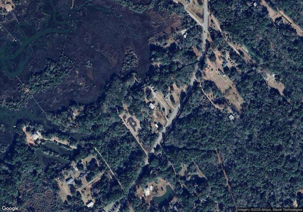
599 Highway 174 Edisto Island, SC 29438
Edisto Island NeighborhoodEstimated Value: $507,651 - $703,000
3
Beds
2
Baths
1,840
Sq Ft
$319/Sq Ft
Est. Value
About This Home
This home is located at 599 Highway 174, Edisto Island, SC 29438 and is currently estimated at $587,413, approximately $319 per square foot. 599 Highway 174 is a home located in Charleston County with nearby schools including Jane Edwards Elementary School and Baptist Hill High School.
Ownership History
Date
Name
Owned For
Owner Type
Purchase Details
Closed on
Sep 2, 2005
Sold by
Griffin Carroll E
Bought by
Edwards William R and Edwards Lisa L
Current Estimated Value
Purchase Details
Closed on
Sep 5, 2003
Sold by
Bank Of Walterboro
Bought by
Griffin Carroll E
Purchase Details
Closed on
Aug 11, 2003
Sold by
Lyons Marshall V
Bought by
Bank Of Walterboro
Purchase Details
Closed on
Dec 8, 2000
Sold by
Poole I P Poole Janice M
Bought by
Lyons Marshall and Lyons Christina K
Purchase Details
Closed on
Dec 6, 2000
Sold by
Johnson Elizabeth Dubose
Bought by
Poole I P and Poole Janice M
Create a Home Valuation Report for This Property
The Home Valuation Report is an in-depth analysis detailing your home's value as well as a comparison with similar homes in the area
Home Values in the Area
Average Home Value in this Area
Purchase History
| Date | Buyer | Sale Price | Title Company |
|---|---|---|---|
| Edwards William R | $279,000 | -- | |
| Griffin Carroll E | $130,000 | -- | |
| Bank Of Walterboro | $154,473 | -- | |
| Lyons Marshall | $47,500 | -- | |
| Poole I P | $22,800 | -- |
Source: Public Records
Tax History Compared to Growth
Tax History
| Year | Tax Paid | Tax Assessment Tax Assessment Total Assessment is a certain percentage of the fair market value that is determined by local assessors to be the total taxable value of land and additions on the property. | Land | Improvement |
|---|---|---|---|---|
| 2024 | $1,336 | $9,220 | $0 | $0 |
| 2023 | $1,336 | $9,220 | $0 | $0 |
| 2022 | $1,260 | $9,220 | $0 | $0 |
| 2021 | $1,311 | $9,220 | $0 | $0 |
| 2020 | $1,339 | $9,220 | $0 | $0 |
| 2019 | $1,215 | $8,020 | $0 | $0 |
| 2017 | $1,215 | $8,020 | $0 | $0 |
| 2016 | $1,139 | $8,020 | $0 | $0 |
| 2015 | $1,139 | $8,020 | $0 | $0 |
| 2014 | $1,139 | $0 | $0 | $0 |
| 2011 | -- | $0 | $0 | $0 |
Source: Public Records
Map
Nearby Homes
- 57 Seaside Rd
- 61 Osprey Ln
- 983 Seaside Ln
- 401 Deer Track Dr
- 254 Deer Track Dr
- 1064 Blackbear Dr
- Lot 1 King Rail Ln
- Lot 4 King Rail Ln
- Lot 2 King Rail Ln
- Lot 6 King Rail Ln
- Lot 5 King Rail Ln
- Lot 3 King Rail Ln
- 0 King Rail Ln
- 697 Jan Savage Way Unit Lot (A-A-A)
- 16 Oakwood Ln
- 0 Crawford
- Lot 31 Foredeck Ln
- 890 Flowers Ln
- 7939 Legare Rd
- 8830 Shell House Rd
- 597 Highway 174
- 617 Highway 174
- 00 Shergould Ln
- 591 Highway 174
- 621 Highway 174
- 1 Shergould Ln
- 0 Shergould Ln Unit 2638962
- 0 Shergould Ln Unit 2638897
- 0 Shergould Ln Unit 2638948
- 0 Shergould Ln Unit 2638898
- 0 Shergould Ln Unit 2828576
- 0 Shergould Ln Unit 15021714
- 0 Shergould Ln Unit 16017453
- 0 Shergould Ln Unit 17003569
- 0 Shergould Ln Unit 17021063
- 0 Shergould Ln Unit 19002626
- 594 Highway 174
- 8224 Shergould Ln
- 622 Highway 174
- 636 Highway 174
