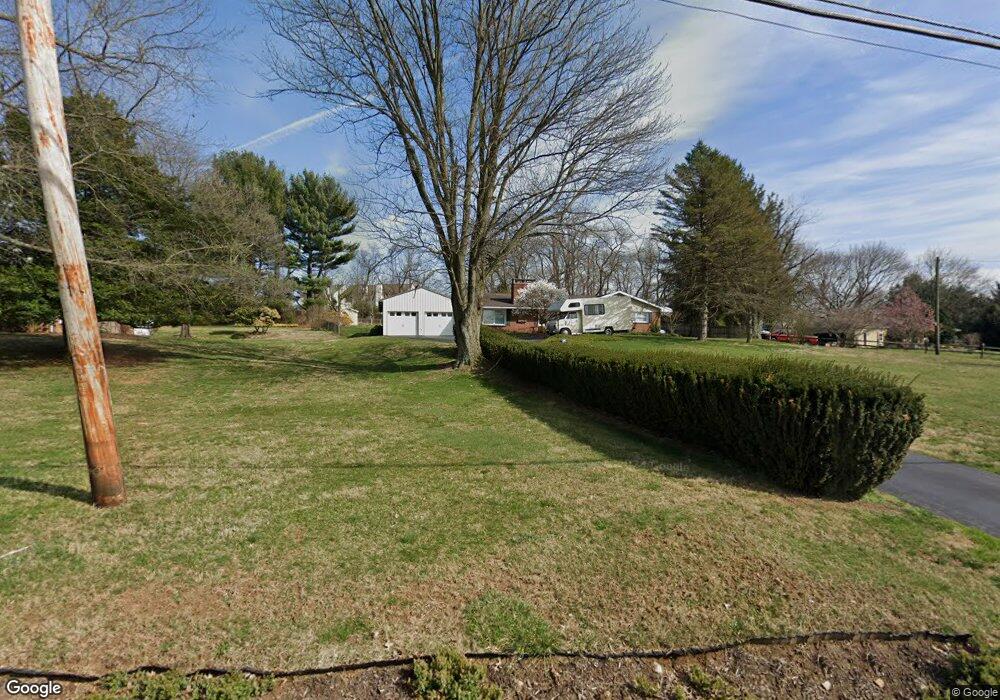
599 Locust Grove Rd West Chester, PA 19382
Estimated Value: $592,470 - $705,000
3
Beds
3
Baths
2,228
Sq Ft
$281/Sq Ft
Est. Value
About This Home
This home is located at 599 Locust Grove Rd, West Chester, PA 19382 and is currently estimated at $626,868, approximately $281 per square foot. 599 Locust Grove Rd is a home located in Chester County with nearby schools including Pocopson Elementary School, Charles F. Patton Middle School, and Unionville High School.
Ownership History
Date
Name
Owned For
Owner Type
Purchase Details
Closed on
Nov 6, 2024
Sold by
Brennan Timothy M and Brennan Leslie Simpson
Bought by
Timothy Brennan And Leslie Simpson Brennan Re and Brennan
Current Estimated Value
Purchase Details
Closed on
Jun 26, 2003
Sold by
Kilgore Timothy A
Bought by
Simpson Brennan Timothy M and Simpson Brennan Leslie
Purchase Details
Closed on
Feb 8, 1999
Sold by
Hill Kenneth J and Tryens Mary Beth
Bought by
Kilgore Timothy A
Home Financials for this Owner
Home Financials are based on the most recent Mortgage that was taken out on this home.
Original Mortgage
$131,200
Interest Rate
6.78%
Purchase Details
Closed on
Nov 25, 1994
Sold by
Eldreth Walter and Eldreth Opal K
Bought by
Hill Kenneth J and Hill Andrea
Home Financials for this Owner
Home Financials are based on the most recent Mortgage that was taken out on this home.
Original Mortgage
$159,600
Interest Rate
8.87%
Create a Home Valuation Report for This Property
The Home Valuation Report is an in-depth analysis detailing your home's value as well as a comparison with similar homes in the area
Home Values in the Area
Average Home Value in this Area
Purchase History
| Date | Buyer | Sale Price | Title Company |
|---|---|---|---|
| Timothy Brennan And Leslie Simpson Brennan Re | -- | None Listed On Document | |
| Simpson Brennan Timothy M | $290,000 | -- | |
| Kilgore Timothy A | $164,000 | Stewart Title Guaranty Compa | |
| Hill Kenneth J | $168,000 | -- |
Source: Public Records
Mortgage History
| Date | Status | Borrower | Loan Amount |
|---|---|---|---|
| Previous Owner | Kilgore Timothy A | $131,200 | |
| Previous Owner | Hill Kenneth J | $159,600 | |
| Closed | Kilgore Timothy A | $24,600 |
Source: Public Records
Tax History Compared to Growth
Tax History
| Year | Tax Paid | Tax Assessment Tax Assessment Total Assessment is a certain percentage of the fair market value that is determined by local assessors to be the total taxable value of land and additions on the property. | Land | Improvement |
|---|---|---|---|---|
| 2025 | $6,863 | $177,340 | $38,770 | $138,570 |
| 2024 | $6,863 | $177,340 | $38,770 | $138,570 |
| 2023 | $6,647 | $177,340 | $38,770 | $138,570 |
| 2022 | $6,510 | $177,340 | $38,770 | $138,570 |
| 2021 | $6,352 | $177,340 | $38,770 | $138,570 |
| 2020 | $6,336 | $177,340 | $38,770 | $138,570 |
| 2019 | $6,221 | $177,340 | $38,770 | $138,570 |
| 2018 | $6,203 | $177,340 | $38,770 | $138,570 |
| 2017 | $6,059 | $176,860 | $38,770 | $138,090 |
| 2016 | $701 | $176,860 | $38,770 | $138,090 |
| 2015 | $701 | $176,860 | $38,770 | $138,090 |
| 2014 | $701 | $176,860 | $38,770 | $138,090 |
Source: Public Records
Map
Nearby Homes
- 586 Corrine Rd
- 1740 Lenape Rd
- 1758 Lenni Dr
- 2039-2035 Lenape Unionville Rd
- 1936 Lenape Rd
- 700 Patrick Henry Cir
- 1559 Washington Ln
- 765 Folly Hill Rd
- 1501 Washington Ln
- 736 Northbrook Rd
- 7 Bittersweet Dr
- 2 Bittersweet Dr
- 186 Bragg Hill Rd
- 1702 W Street Rd
- 734 Denton Hollow Rd
- 15 Davidson Rd
- 327 E Street Rd
- 323 E Street Rd
- 2005 W Street Rd
- 4 Sloan Rd
- 579 Locust Grove Rd
- 605 Locust Grove Rd
- 539 Windy Hill Rd
- 541 Windy Hill Rd Unit 14
- 543 Windy Hill Rd
- 543 Windy Hill Ln
- 559 Locust Grove Rd
- 537 Windy Hill Rd Unit 12
- 625 Locust Grove Rd
- 539 Windy Hill Ln
- 535 Windy Hill Rd
- 535 Windy Hill Ln
- 533 Windy Hill Rd Unit 10
- 517 Windy Hill Ln
- 517 Windy Hill Rd Unit 2A
- 515 Windy Hill Rd Unit 1
- 523 Windy Hill Rd Unit 5A
- 521 Windy Hill Rd
- 525 Windy Hill Rd Unit 6
- 529 Windy Hill Rd