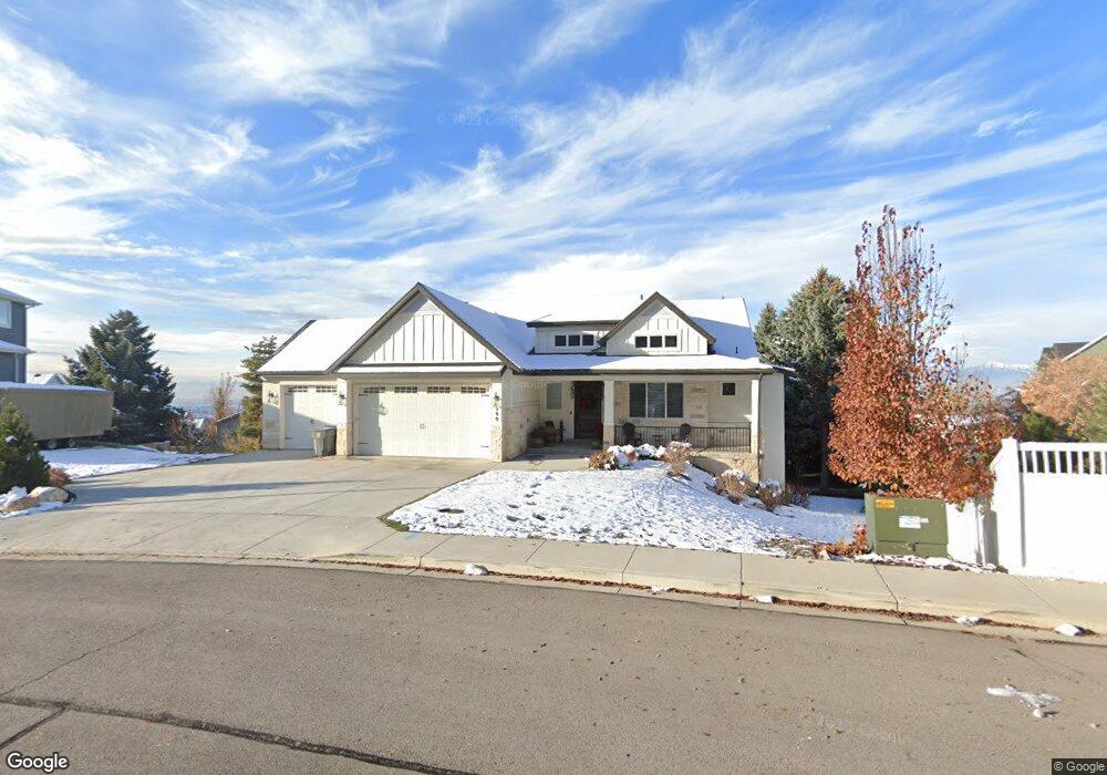
599 N 1350 E Unit 21 Pleasant Grove, UT 84062
Estimated Value: $1,036,000 - $1,292,186
1
Bed
3
Baths
1,846
Sq Ft
$648/Sq Ft
Est. Value
About This Home
This home is located at 599 N 1350 E Unit 21, Pleasant Grove, UT 84062 and is currently estimated at $1,196,797, approximately $648 per square foot. 599 N 1350 E Unit 21 is a home located in Utah County with nearby schools including Grovecrest Elementary School, Pleasant Grove Junior High School, and Pleasant Grove High School.
Ownership History
Date
Name
Owned For
Owner Type
Purchase Details
Closed on
Aug 28, 2025
Sold by
Henrie Joseph S and Henrie Dixie L
Bought by
Shawn & Dixie Henrie Family Trust and Henrie
Current Estimated Value
Purchase Details
Closed on
Jan 7, 2022
Sold by
Anstead Clay R and Anstead Tammie J
Bought by
Henrie Joseph S and Henrie Dixie L
Purchase Details
Closed on
Apr 19, 2019
Sold by
Anstead Clay R
Bought by
Anstead Clay R and Anstead Tammie J
Home Financials for this Owner
Home Financials are based on the most recent Mortgage that was taken out on this home.
Original Mortgage
$200,000
Interest Rate
4.3%
Mortgage Type
VA
Purchase Details
Closed on
Feb 23, 2017
Sold by
Boyer Walker Ridge Llc
Bought by
Anstead Clay Robert and Anstead Tammie J
Home Financials for this Owner
Home Financials are based on the most recent Mortgage that was taken out on this home.
Original Mortgage
$104,000
Interest Rate
4.12%
Mortgage Type
New Conventional
Create a Home Valuation Report for This Property
The Home Valuation Report is an in-depth analysis detailing your home's value as well as a comparison with similar homes in the area
Home Values in the Area
Average Home Value in this Area
Purchase History
| Date | Buyer | Sale Price | Title Company |
|---|---|---|---|
| Shawn & Dixie Henrie Family Trust | -- | None Listed On Document | |
| Henrie Joseph S | -- | Highland Title | |
| Anstead Clay R | -- | Accommodation | |
| Anstead Clay R | -- | Highland Title | |
| Anstead Clay Robert | -- | Stewart Title Ins Agency |
Source: Public Records
Mortgage History
| Date | Status | Borrower | Loan Amount |
|---|---|---|---|
| Previous Owner | Anstead Clay R | $200,000 | |
| Previous Owner | Anstead Clay Robert | $104,000 |
Source: Public Records
Tax History Compared to Growth
Tax History
| Year | Tax Paid | Tax Assessment Tax Assessment Total Assessment is a certain percentage of the fair market value that is determined by local assessors to be the total taxable value of land and additions on the property. | Land | Improvement |
|---|---|---|---|---|
| 2025 | $4,810 | $609,620 | $366,400 | $742,000 |
| 2024 | $4,668 | $561,330 | $0 | $0 |
| 2023 | $3,098 | $570,295 | $0 | $0 |
| 2022 | $3,306 | $540,155 | $0 | $0 |
| 2021 | $3,704 | $735,700 | $208,500 | $527,200 |
| 2020 | $3,585 | $700,000 | $193,100 | $506,900 |
| 2019 | $2,784 | $522,400 | $181,000 | $341,400 |
| 2018 | $1,814 | $177,000 | $177,000 | $0 |
| 2017 | $1,491 | $140,800 | $0 | $0 |
| 2016 | $1,455 | $132,700 | $0 | $0 |
Source: Public Records
Map
Nearby Homes
- 1022 E Hillside Dr Unit 233
- 348 N 1350 E
- 428 N 1180 E
- 482 Canyon View Ln
- 1161 E 200 N
- 1085 E Grove Creek Dr
- 10 S 1400 E
- 26 S 1185 E
- Prelude Plan at Blossom Hill
- Treble Plan at Blossom Hill
- Browning Plan at Blossom Hill
- Cantata Plan at Blossom Hill
- 176 S 1150 E
- Accord Plan at Blossom Hill
- Canon Plan at Blossom Hill
- Trio Plan at Blossom Hill
- Harrison Plan at Blossom Hill
- Adagio Plan at Blossom Hill
- Tempo Plan at Blossom Hill
- Ballad Plan at Blossom Hill
- 599 N 1350 E
- 1268 Hillside Dr
- 592 Dalton Dr
- 577 N 1350 E
- 564 Dalton Dr
- 1256 Hillside Dr
- 598 Dalton Dr
- 538 Dalton Dr
- 1246 Hillside Dr
- 561 N 1350 E
- 594 N 1350 E
- 594 N 1350 E Unit 22
- 624 Dalton Dr
- 595 Dalton Dr
- 1078 E Hillside Dr
- 1260 Hillside Dr
- 624 N Dalton Ave
- 577 N 1300 E
- 577 Dalton Dr
- 508 Dalton Dr