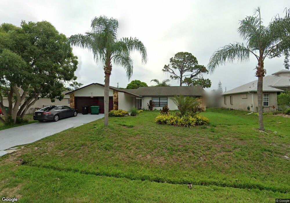
599 NW Sharpe St Port Saint Lucie, FL 34983
Northport Village NeighborhoodEstimated Value: $324,580 - $358,000
2
Beds
2
Baths
1,803
Sq Ft
$189/Sq Ft
Est. Value
About This Home
This home is located at 599 NW Sharpe St, Port Saint Lucie, FL 34983 and is currently estimated at $339,895, approximately $188 per square foot. 599 NW Sharpe St is a home located in St. Lucie County with nearby schools including Parkway Elementary School, Northport K-8 School, and Floresta Elementary School.
Ownership History
Date
Name
Owned For
Owner Type
Purchase Details
Closed on
Dec 15, 2004
Sold by
Parupia Arif
Bought by
At Llc
Current Estimated Value
Purchase Details
Closed on
Aug 1, 2004
Sold by
Parupia Arif
Bought by
Boardwalk Homes Llc
Purchase Details
Closed on
Feb 23, 2004
Sold by
Roddin William and Roddin Norma
Bought by
Parupia Arif
Purchase Details
Closed on
Dec 3, 2002
Sold by
Bunten Cynthia and Parupia Cynthia
Bought by
Parupia Arif
Purchase Details
Closed on
May 15, 1997
Sold by
Parupia Arif and Parupia Cynthia
Bought by
Parupia Cynthia
Create a Home Valuation Report for This Property
The Home Valuation Report is an in-depth analysis detailing your home's value as well as a comparison with similar homes in the area
Home Values in the Area
Average Home Value in this Area
Purchase History
| Date | Buyer | Sale Price | Title Company |
|---|---|---|---|
| At Llc | -- | -- | |
| Boardwalk Homes Llc | -- | Landtech Title Services Inc | |
| Parupia Arif | -- | -- | |
| Parupia Arif | -- | -- | |
| Parupia Cynthia | -- | -- |
Source: Public Records
Tax History Compared to Growth
Tax History
| Year | Tax Paid | Tax Assessment Tax Assessment Total Assessment is a certain percentage of the fair market value that is determined by local assessors to be the total taxable value of land and additions on the property. | Land | Improvement |
|---|---|---|---|---|
| 2024 | $4,809 | $272,700 | $138,000 | $134,700 |
| 2023 | $4,809 | $257,300 | $120,000 | $137,300 |
| 2022 | $4,345 | $224,200 | $105,000 | $119,200 |
| 2021 | $3,829 | $169,200 | $60,000 | $109,200 |
| 2020 | $3,554 | $147,200 | $48,000 | $99,200 |
| 2019 | $3,466 | $153,300 | $42,000 | $111,300 |
| 2018 | $3,143 | $147,500 | $34,000 | $113,500 |
| 2017 | $2,887 | $126,200 | $28,000 | $98,200 |
| 2016 | $2,622 | $104,100 | $21,600 | $82,500 |
| 2015 | $2,574 | $80,000 | $14,000 | $66,000 |
| 2014 | $2,298 | $66,220 | $0 | $0 |
Source: Public Records
Map
Nearby Homes
- 651 NW Sharpe St
- 526 NW Kingston St
- 761 NW Bayshore Blvd
- 685 NW Bayshore Blvd
- 637 NW Bayshore Blvd
- 790 NW Bayard Ave
- 557 NW Fairfax Ave
- 973 NW Bayshore Blvd
- 585 NW Floresta Dr
- 708 NW Floresta Dr
- 602 NW Cardinal Dr
- 785 NW Kingston St
- 514 NW Ferris Dr
- 1001 NW Bayshore Blvd
- 602 NW Archer Ave
- 590 NW Archer Ave Unit 37
- 665 NW Archer Ave
- 361 NW Aurora St
- 514 NW Lincoln Ave
- 741 NW North MacEdo Blvd
- 551 NW Sharpe St
- 592 NW Selvitz Rd
- 600 NW Selvitz Rd Unit 198
- 600 NW Selvitz Rd
- 582 NW Selvitz Rd
- 611 NW Sharpe St
- 501 NW Sharpe St
- 550 NW Sharpe St
- 600 NW Sharpe St
- 661 NW Placid Ave
- 615 NW Sharpe St
- 612 NW Sharpe St
- 620 NW Selvitz Rd
- 601 NW Sharpe St
- 591 NW Selvitz Rd
- 621 NW Kildare St
- 611 NW Kildare St
- 601 NW Selvitz Rd
- 581 NW Selvitz Rd
- 621 NW Sharpe St