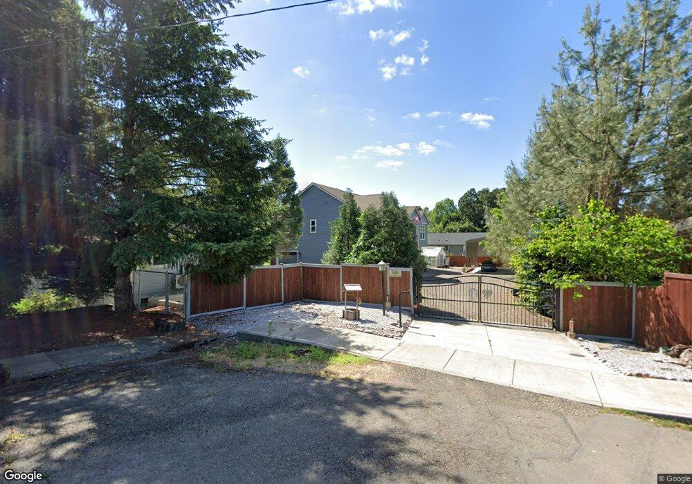
599 River Dr Independence, OR 97351
Estimated Value: $499,000 - $995,547
3
Beds
2
Baths
3,019
Sq Ft
$225/Sq Ft
Est. Value
About This Home
This home is located at 599 River Dr, Independence, OR 97351 and is currently estimated at $680,516, approximately $225 per square foot. 599 River Dr is a home with nearby schools including Talmadge Middle School and Central High School.
Ownership History
Date
Name
Owned For
Owner Type
Purchase Details
Closed on
Apr 21, 2021
Sold by
Dehart Donald Brent and Dehart Linda E
Bought by
Dehart Donald Brent and Dehart Linda E
Current Estimated Value
Purchase Details
Closed on
Jan 25, 2018
Sold by
Leedy Willard P
Bought by
Dehart Donald Brent and Dehart Linda E
Home Financials for this Owner
Home Financials are based on the most recent Mortgage that was taken out on this home.
Original Mortgage
$17,000
Interest Rate
3.93%
Mortgage Type
New Conventional
Create a Home Valuation Report for This Property
The Home Valuation Report is an in-depth analysis detailing your home's value as well as a comparison with similar homes in the area
Home Values in the Area
Average Home Value in this Area
Purchase History
| Date | Buyer | Sale Price | Title Company |
|---|---|---|---|
| Dehart Donald Brent | -- | None Available | |
| Dehart Donald Brent | $230,000 | Amerititle |
Source: Public Records
Mortgage History
| Date | Status | Borrower | Loan Amount |
|---|---|---|---|
| Closed | Dehart Donald Brent | $17,000 |
Source: Public Records
Tax History Compared to Growth
Tax History
| Year | Tax Paid | Tax Assessment Tax Assessment Total Assessment is a certain percentage of the fair market value that is determined by local assessors to be the total taxable value of land and additions on the property. | Land | Improvement |
|---|---|---|---|---|
| 2025 | $8,909 | $512,650 | $186,560 | $326,090 |
| 2024 | $8,909 | $497,720 | $181,130 | $316,590 |
| 2023 | $8,939 | $472,890 | $175,840 | $297,050 |
| 2022 | $100 | $459,120 | $170,710 | $288,410 |
| 2021 | $99 | $445,750 | $165,740 | $280,010 |
| 2020 | $7,904 | $432,770 | $160,900 | $271,870 |
| 2019 | $4,855 | $266,850 | $154,270 | $112,580 |
| 2018 | $663 | $37,130 | $37,130 | $0 |
| 2017 | $659 | $36,050 | $36,050 | $0 |
| 2016 | $671 | $35,000 | $35,000 | $0 |
| 2015 | $207 | $10,270 | $10,270 | $0 |
Source: Public Records
Map
Nearby Homes
- 0 Williams St Unit 711125
- 555 N Main St
- 533 N Main St
- 575 N Main St
- 583 N Main St
- 603 River Dr
- 603 River Dr Unit 15030126
- 603 N Main St
- 564 - 588 S. Main St
- 520 N Main St
- 665 River Dr
- 640 River Dr
- 560 N Main St
- 518 N Main St
- 651 N Main St
- 586 N Main St
- 92 Grand St
- 490 N Main St
- 620 N Main St
- 695 River Dr