599 Stoneybrook Dr Canton, GA 30115
Union Hill NeighborhoodEstimated Value: $849,000 - $1,481,000
5
Beds
5
Baths
5,501
Sq Ft
$211/Sq Ft
Est. Value
About This Home
This home is located at 599 Stoneybrook Dr, Canton, GA 30115 and is currently estimated at $1,159,843, approximately $210 per square foot. 599 Stoneybrook Dr is a home with nearby schools including Indian Knoll Elementary School, Rusk Middle School, and Sequoyah High School.
Ownership History
Date
Name
Owned For
Owner Type
Purchase Details
Closed on
Jun 11, 2013
Sold by
Richards Walter Ben
Bought by
Mosley Mark Aden and Mosley Angela Fugatt
Current Estimated Value
Home Financials for this Owner
Home Financials are based on the most recent Mortgage that was taken out on this home.
Original Mortgage
$66,950
Outstanding Balance
$47,386
Interest Rate
3.53%
Mortgage Type
New Conventional
Estimated Equity
$1,112,457
Purchase Details
Closed on
Dec 27, 2011
Sold by
Pierre Suter
Bought by
Richards Walter B and Richards Lewis Carl
Create a Home Valuation Report for This Property
The Home Valuation Report is an in-depth analysis detailing your home's value as well as a comparison with similar homes in the area
Home Values in the Area
Average Home Value in this Area
Purchase History
| Date | Buyer | Sale Price | Title Company |
|---|---|---|---|
| Mosley Mark Aden | $103,000 | -- | |
| Richards Walter B | -- | -- |
Source: Public Records
Mortgage History
| Date | Status | Borrower | Loan Amount |
|---|---|---|---|
| Open | Mosley Mark Aden | $66,950 |
Source: Public Records
Tax History Compared to Growth
Tax History
| Year | Tax Paid | Tax Assessment Tax Assessment Total Assessment is a certain percentage of the fair market value that is determined by local assessors to be the total taxable value of land and additions on the property. | Land | Improvement |
|---|---|---|---|---|
| 2025 | $9,181 | $401,120 | $52,320 | $348,800 |
| 2024 | $8,546 | $369,560 | $52,320 | $317,240 |
| 2023 | $7,964 | $362,560 | $52,320 | $310,240 |
| 2022 | $7,392 | $310,600 | $52,320 | $258,280 |
| 2021 | $7,204 | $275,840 | $52,320 | $223,520 |
| 2020 | $6,424 | $241,920 | $52,320 | $189,600 |
| 2019 | $6,266 | $235,120 | $52,320 | $182,800 |
| 2018 | $5,830 | $215,120 | $52,320 | $162,800 |
| 2017 | $5,473 | $495,000 | $45,520 | $152,480 |
| 2016 | $5,378 | $479,400 | $45,520 | $146,240 |
| 2015 | $4,929 | $419,100 | $45,520 | $122,120 |
| 2014 | -- | $113,800 | $45,520 | $0 |
Source: Public Records
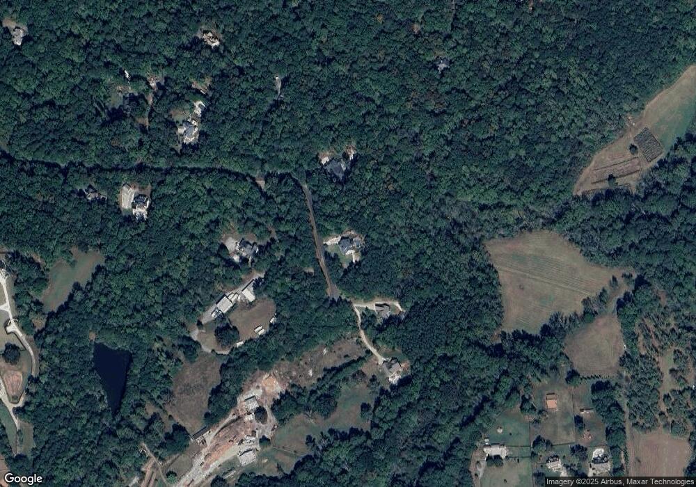
Map
Nearby Homes
- 1017 Avery Rd
- 1021 Avery Rd
- 1248 Avery Rd
- 601 Scott Rd
- 115 Old Avery Dr
- 258 Arliss Dr
- 1498 Pinyan Ln
- 667 B Avery Rd
- 128 Creekview Ln
- 182 Oak Forest Dr
- 1076 Pinyan Ln
- 2001 Epperson Rd
- 130 Prescott Manor Dr
- 129 Prescott Manor Dr
- 120 Prescott Manor Dr
- 331 Evie Ln
- Abney Plan at Prescott Manor
- 320 Evie Ln
- 0 Memory Ln Unit 10529153
- 160 Scott Rd
- 695 Stoneybrook Dr
- 573 Stoneybrook Dr
- 630 Stoneybrook Dr
- 699 Stoneybrook Dr
- 545 Stoneybrook Dr
- 102 Coldstream Ct
- 560 Stoneybrook Dr
- 1199 Avery Rd
- 0 Coldstream Ct Unit 7464526
- 0 Coldstream Ct Unit 3263271
- 130 Coldstream Ct
- 1415 Avery Rd
- 380 Stoneybrook Dr
- 380 Stoneybrook Dr Unit 2
- 101 Coldstream Ct
- 1425 Avery Rd
- 1205 Avery Rd
- 125 Coldstream Ct
- 1195 Avery Rd
- 291 Miquel Jorge Ln