599 Umstead Rd Cranberry, PA 16319
Estimated Value: $120,972 - $282,000
--
Bed
--
Bath
1,232
Sq Ft
$171/Sq Ft
Est. Value
About This Home
This home is located at 599 Umstead Rd, Cranberry, PA 16319 and is currently estimated at $210,743, approximately $171 per square foot. 599 Umstead Rd is a home with nearby schools including Keystone Elementary School and Keystone Junior/Senior High School.
Ownership History
Date
Name
Owned For
Owner Type
Purchase Details
Closed on
Nov 4, 2019
Sold by
Hamil Karen M and Mcgiffin Nathan E
Bought by
Mcgiffin Karen M and Mcgiffin Nathan E
Current Estimated Value
Home Financials for this Owner
Home Financials are based on the most recent Mortgage that was taken out on this home.
Original Mortgage
$191,600
Outstanding Balance
$168,363
Interest Rate
3.65%
Mortgage Type
New Conventional
Estimated Equity
$42,380
Purchase Details
Closed on
Oct 12, 2002
Bought by
Hamil Karen M
Create a Home Valuation Report for This Property
The Home Valuation Report is an in-depth analysis detailing your home's value as well as a comparison with similar homes in the area
Home Values in the Area
Average Home Value in this Area
Purchase History
| Date | Buyer | Sale Price | Title Company |
|---|---|---|---|
| Mcgiffin Karen M | -- | Chicago Title Insurance Co | |
| Hamil Karen M | $124,900 | -- |
Source: Public Records
Mortgage History
| Date | Status | Borrower | Loan Amount |
|---|---|---|---|
| Open | Mcgiffin Karen M | $191,600 |
Source: Public Records
Tax History Compared to Growth
Tax History
| Year | Tax Paid | Tax Assessment Tax Assessment Total Assessment is a certain percentage of the fair market value that is determined by local assessors to be the total taxable value of land and additions on the property. | Land | Improvement |
|---|---|---|---|---|
| 2025 | $2,726 | $31,228 | $1,460 | $29,768 |
| 2024 | $2,579 | $31,228 | $1,460 | $29,768 |
| 2023 | $2,361 | $21,606 | $1,460 | $20,146 |
| 2022 | $1,692 | $21,606 | $1,460 | $20,146 |
| 2021 | $1,703 | $21,606 | $1,460 | $20,146 |
| 2020 | $1,703 | $21,606 | $1,460 | $20,146 |
| 2019 | $1,703 | $21,606 | $1,460 | $20,146 |
| 2018 | $1,703 | $21,606 | $1,460 | $20,146 |
| 2017 | $1,703 | $21,606 | $1,460 | $20,146 |
| 2016 | $1,703 | $21,606 | $1,460 | $20,146 |
| 2014 | -- | $21,606 | $1,460 | $20,146 |
Source: Public Records
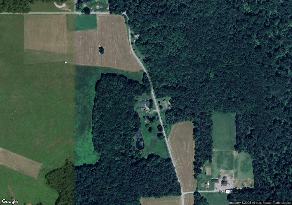
Map
Nearby Homes
- 170 Fernwood Dr
- 206 Kline Rd
- 3626 Route 322
- 4889 Route 322
- 8600 Pennsylvania 338
- 2192 Old State Rd
- 3072 Millerstown Rd
- 221 Ponds View Ln
- 336 Best Ave
- 327 Mendenhall Ave
- 427 Main St
- 518 E Penn Ave
- 374 E Penn Ave
- 630 S Main St
- 0 Willow Ave
- 513 Ron McHenry Rd
- 12537 Pennsylvania 208
- 391 Route 157
- 391 Pennsylvania 157
- 107 Olive Dr
- 599 T-409
- 592 Umstead Rd
- 734 Umstead Rd
- 0 T-409
- 160 Umstead Rd
- 1865 Camp Coffman Rd
- 121 Umstead Rd
- 86 Umstead Rd
- 274 Denny Weaver Rd
- 933 Golf Course Rd
- 2119 Camp Coffman Rd
- 0 Golf Course Rd
- 426 Golf Course Rd
- 1414 Stone House Rd
- 312 Golf Course Rd
- 1347 Golf Course Rd
- 205 Golf Course Rd
- 1354 Golf Course Rd
- 1403 Golf Course Rd
- 127 Fernwood Dr