599 W Santee Dr Greensburg, IN 47240
Estimated Value: $302,000 - $466,000
4
Beds
2
Baths
2,624
Sq Ft
$155/Sq Ft
Est. Value
About This Home
This home is located at 599 W Santee Dr, Greensburg, IN 47240 and is currently estimated at $406,190, approximately $154 per square foot. 599 W Santee Dr is a home located in Decatur County with nearby schools including North Decatur Elementary School and North Decatur Junior/Senior High School.
Ownership History
Date
Name
Owned For
Owner Type
Purchase Details
Closed on
Nov 4, 2011
Sold by
Meister Daniel L and Meister Deborah D
Bought by
Bryant James L and Bryant Gayle A
Current Estimated Value
Home Financials for this Owner
Home Financials are based on the most recent Mortgage that was taken out on this home.
Original Mortgage
$192,000
Outstanding Balance
$130,609
Interest Rate
3.97%
Mortgage Type
Stand Alone First
Estimated Equity
$275,581
Create a Home Valuation Report for This Property
The Home Valuation Report is an in-depth analysis detailing your home's value as well as a comparison with similar homes in the area
Home Values in the Area
Average Home Value in this Area
Purchase History
| Date | Buyer | Sale Price | Title Company |
|---|---|---|---|
| Bryant James L | -- | -- |
Source: Public Records
Mortgage History
| Date | Status | Borrower | Loan Amount |
|---|---|---|---|
| Open | Bryant James L | $192,000 |
Source: Public Records
Tax History Compared to Growth
Tax History
| Year | Tax Paid | Tax Assessment Tax Assessment Total Assessment is a certain percentage of the fair market value that is determined by local assessors to be the total taxable value of land and additions on the property. | Land | Improvement |
|---|---|---|---|---|
| 2024 | $2,123 | $388,800 | $150,900 | $237,900 |
| 2023 | $2,064 | $360,900 | $150,900 | $210,000 |
| 2022 | $2,023 | $335,000 | $135,200 | $199,800 |
| 2021 | $2,333 | $301,300 | $108,600 | $192,700 |
| 2020 | $1,920 | $286,500 | $103,300 | $183,200 |
| 2019 | $1,545 | $238,800 | $97,900 | $140,900 |
| 2018 | $1,178 | $219,400 | $89,000 | $130,400 |
| 2017 | $1,763 | $291,500 | $94,000 | $197,500 |
| 2016 | $1,651 | $279,100 | $81,600 | $197,500 |
| 2014 | $1,597 | $263,600 | $81,600 | $182,000 |
| 2013 | $3,014 | $265,900 | $65,300 | $200,600 |
Source: Public Records
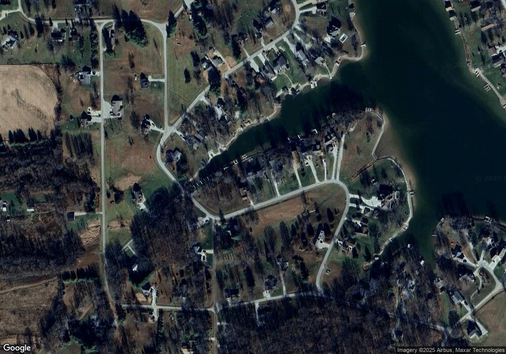
Map
Nearby Homes
- 620 W Apache Trail
- 402 W Black Foot Trail
- 186 Seneca Trail
- 746 NW Santee Dr
- 1428 N Mohican Trail
- 1446 NE Kutenai Trail
- 1080 E Mohican Trail
- 1156 E Mohican Trail
- 121 SW Santee Dr
- 8907 E County Road 400 N
- 1070 E Mohican Trail
- 348 SW Shoshone Trail
- 321 E Santee Dr
- 320 E Santee Dr
- 6964 E County Road 640 N
- 26161 Stipps Hill Rd
- 26157 Stipps Hill Rd
- 10008 Elm St
- 10009 Elm St
- 6813 E County Road 200 N
- 598 W Santee Dr
- 601 W Santee Dr
- 603 W Santee Dr
- 625 W Santee Dr
- 610 W Santee Dr
- 625 W Santee Dr
- 608 W Santee Dr
- 604 W Santee Dr
- 607 W Santee Dr
- 591 W Santee Dr
- 592 W Santee Dr
- 605 W Santee Dr
- 405 W Black Foot Trail
- 589 W Santee Dr
- 640 W Santee Dr
- 623 W Black Foot Trail
- 640 W Santee Dr
- 614 W Santee Dr
- 594 Santee Dr
- 606 W Santee Dr