Estimated Value: $337,000 - $366,000
3
Beds
2
Baths
1,580
Sq Ft
$222/Sq Ft
Est. Value
About This Home
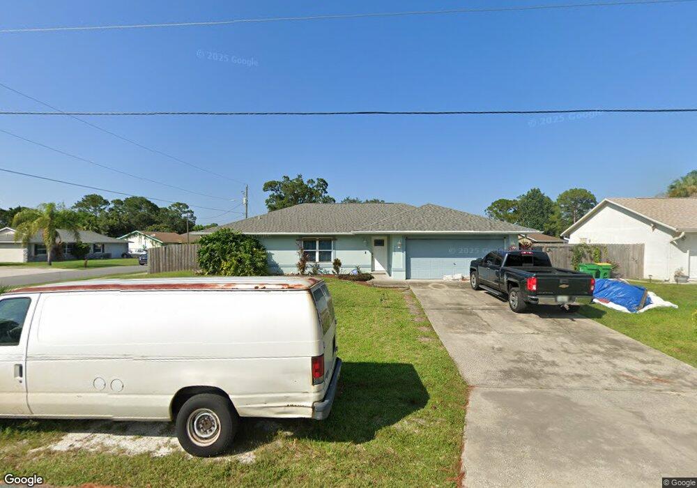
This home is located at 5995 Deer Ln, Cocoa, FL 32927 and is currently estimated at $350,153, approximately $221 per square foot. 5995 Deer Ln is a home located in Brevard County with nearby schools including Challenger 7 Elementary School, Space Coast Junior/Senior High School, and East Atlantic Prep of Brevard County.
Ownership History
Date
Name
Owned For
Owner Type
Purchase Details
Closed on
Jul 11, 1994
Sold by
Jason Corp
Bought by
Chetta John L and Chetta Catherine M
Current Estimated Value
Home Financials for this Owner
Home Financials are based on the most recent Mortgage that was taken out on this home.
Original Mortgage
$82,700
Interest Rate
8.51%
Purchase Details
Closed on
May 21, 1993
Sold by
Nationsbank Fl N A
Bought by
Atlantic Gulf Com Corp and Gen Dev Corp
Purchase Details
Closed on
May 18, 1993
Sold by
Atlantic Gulf Com Corp
Bought by
Jason Corp
Create a Home Valuation Report for This Property
The Home Valuation Report is an in-depth analysis detailing your home's value as well as a comparison with similar homes in the area
Home Values in the Area
Average Home Value in this Area
Purchase History
| Date | Buyer | Sale Price | Title Company |
|---|---|---|---|
| Chetta John L | $83,300 | -- | |
| Atlantic Gulf Com Corp | -- | -- | |
| Jason Corp | $9,800 | -- |
Source: Public Records
Mortgage History
| Date | Status | Borrower | Loan Amount |
|---|---|---|---|
| Closed | Chetta John L | $82,700 |
Source: Public Records
Tax History
| Year | Tax Paid | Tax Assessment Tax Assessment Total Assessment is a certain percentage of the fair market value that is determined by local assessors to be the total taxable value of land and additions on the property. | Land | Improvement |
|---|---|---|---|---|
| 2025 | $1,687 | $125,370 | -- | -- |
| 2024 | $1,649 | $121,840 | -- | -- |
| 2023 | $1,649 | $118,300 | $0 | $0 |
| 2022 | $1,539 | $114,860 | $0 | $0 |
| 2021 | $1,546 | $111,520 | $0 | $0 |
| 2020 | $1,486 | $109,990 | $0 | $0 |
| 2019 | $1,424 | $107,520 | $0 | $0 |
| 2018 | $1,419 | $105,520 | $0 | $0 |
| 2017 | $1,417 | $103,350 | $0 | $0 |
| 2016 | $1,424 | $101,230 | $18,000 | $83,230 |
| 2015 | $1,445 | $100,530 | $15,000 | $85,530 |
| 2014 | $1,448 | $99,740 | $11,000 | $88,740 |
Source: Public Records
Map
Nearby Homes
- 5946 Deer Ln
- 5945 Coker Ave
- 5221 Carrick Rd
- 6020 Cannon Ave
- 5601 Banos Ave
- 5215 Holden Rd
- 5950 Ackard Ave
- 5220 Holden Rd
- 5720 Flint Rd
- 6438 Hudson Rd
- 6094 Cardiff Ave
- 5680 Banos Ave
- 6481 La Brea Ave
- 6450 Ember Ave
- 5715 Fairbridge St
- 4975 Fay Blvd
- 00 Unknown
- 6375 Cable Ave
- 5914 Stillwater Ave
- 6210 Stillwater Ave
Your Personal Tour Guide
Ask me questions while you tour the home.