5995 Highway 2 Epworth, GA 30541
Estimated Value: $389,000 - $655,000
2
Beds
1
Bath
750
Sq Ft
$669/Sq Ft
Est. Value
About This Home
This home is located at 5995 Highway 2, Epworth, GA 30541 and is currently estimated at $501,772, approximately $669 per square foot. 5995 Highway 2 is a home with nearby schools including Fannin County High School.
Ownership History
Date
Name
Owned For
Owner Type
Purchase Details
Closed on
Jun 9, 2020
Sold by
Brown Sammie C
Bought by
Perry Kevin E
Current Estimated Value
Purchase Details
Closed on
Nov 30, 2018
Sold by
Welch Beau
Bought by
Brown Sammie C and Sammie C Brown Liv Tr
Purchase Details
Closed on
Jun 14, 2018
Sold by
Brown Sammie C
Bought by
Welch Beau
Purchase Details
Closed on
Dec 27, 2012
Sold by
Brown Sammie C
Bought by
Brown Sammie C and Welch Beau
Purchase Details
Closed on
Feb 10, 2009
Sold by
Brown Sammie C
Bought by
Brown Sammie C and Welch Beau J
Purchase Details
Closed on
Dec 8, 1997
Sold by
Cantrell Myrtle F
Bought by
Cantrell Jess J Trus
Purchase Details
Closed on
Sep 1, 1983
Bought by
Cantrell Myrtle F
Create a Home Valuation Report for This Property
The Home Valuation Report is an in-depth analysis detailing your home's value as well as a comparison with similar homes in the area
Home Values in the Area
Average Home Value in this Area
Purchase History
| Date | Buyer | Sale Price | Title Company |
|---|---|---|---|
| Perry Kevin E | -- | -- | |
| Perry Kevin E | $167,200 | -- | |
| Brown Sammie C | -- | -- | |
| Welch Beau | -- | -- | |
| Brown Sammie C | -- | -- | |
| Brown Sammie C | -- | -- | |
| Cantrell Jess J Trus | -- | -- | |
| Cantrell Myrtle F | -- | -- |
Source: Public Records
Tax History Compared to Growth
Tax History
| Year | Tax Paid | Tax Assessment Tax Assessment Total Assessment is a certain percentage of the fair market value that is determined by local assessors to be the total taxable value of land and additions on the property. | Land | Improvement |
|---|---|---|---|---|
| 2024 | $1,671 | $182,327 | $15,915 | $166,412 |
| 2023 | $1,530 | $150,058 | $15,915 | $134,143 |
| 2022 | $488 | $47,898 | $15,915 | $31,983 |
| 2021 | $389 | $27,750 | $15,915 | $11,835 |
| 2020 | $396 | $27,750 | $15,915 | $11,835 |
| 2019 | $403 | $27,750 | $15,915 | $11,835 |
| 2018 | $405 | $26,303 | $14,468 | $11,835 |
| 2017 | $485 | $27,409 | $14,468 | $12,941 |
Source: Public Records
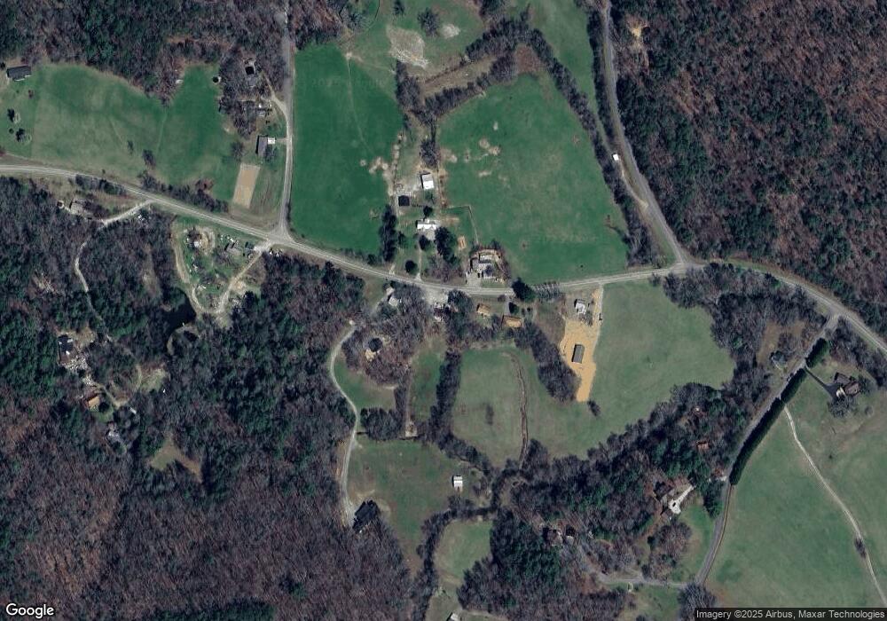
Map
Nearby Homes
- 44 High Ridge W
- 134 High Ridge W
- 134 High Ridge W
- 474 Buck Creek Trail
- 107 Buck Creek Trail
- 370 High Ridge W
- 370 High Ridge W Unit LOT 7
- 370 High Ridge W
- 370 High Ridge W Unit LT 7
- 370 High Ridge W
- 370 High Ridge W Unit LT 8
- 5945 Highway 2
- 5966 Highway 2
- 6121 Highway 2
- 6131 Highway 2
- 6010 Highway 2
- 65 Colwell Church Rd
- 186 Walter Mtn Dr
- 5972 Highway 2
- 5972 Highway 2 Unit 230