5995 Highway 76 E Clayton, GA 30525
Estimated Value: $539,000 - $625,737
3
Beds
2
Baths
2,070
Sq Ft
$285/Sq Ft
Est. Value
About This Home
This home is located at 5995 Highway 76 E, Clayton, GA 30525 and is currently estimated at $590,912, approximately $285 per square foot. 5995 Highway 76 E is a home with nearby schools including Rabun County Primary School and Rabun County High School.
Ownership History
Date
Name
Owned For
Owner Type
Purchase Details
Closed on
Nov 1, 2001
Current Estimated Value
Purchase Details
Closed on
Nov 1, 1998
Purchase Details
Closed on
Dec 1, 1995
Purchase Details
Closed on
Sep 1, 1992
Bought by
Silcox Deborah Donaldson
Purchase Details
Closed on
Sep 1, 1991
Create a Home Valuation Report for This Property
The Home Valuation Report is an in-depth analysis detailing your home's value as well as a comparison with similar homes in the area
Home Values in the Area
Average Home Value in this Area
Purchase History
| Date | Buyer | Sale Price | Title Company |
|---|---|---|---|
| -- | -- | -- | |
| -- | -- | -- | |
| -- | -- | -- | |
| -- | -- | -- | |
| -- | $95,000 | -- | |
| -- | $95,000 | -- | |
| Silcox Deborah Donaldson | $68,400 | -- | |
| Silcox Deborah Donaldson | $68,400 | -- | |
| -- | -- | -- | |
| -- | -- | -- |
Source: Public Records
Tax History Compared to Growth
Tax History
| Year | Tax Paid | Tax Assessment Tax Assessment Total Assessment is a certain percentage of the fair market value that is determined by local assessors to be the total taxable value of land and additions on the property. | Land | Improvement |
|---|---|---|---|---|
| 2025 | $3,243 | $202,043 | $101,303 | $100,740 |
| 2024 | $3,149 | $196,199 | $101,303 | $94,896 |
| 2023 | $3,302 | $180,404 | $95,344 | $85,060 |
| 2022 | $3,030 | $165,564 | $83,426 | $82,138 |
| 2021 | $2,758 | $147,116 | $77,467 | $69,649 |
| 2020 | $2,712 | $139,815 | $77,467 | $62,348 |
| 2019 | $2,731 | $139,815 | $77,467 | $62,348 |
| 2018 | $2,741 | $139,815 | $77,467 | $62,348 |
| 2017 | $2,629 | $139,815 | $77,467 | $62,348 |
| 2016 | $2,636 | $139,815 | $77,467 | $62,348 |
| 2015 | $2,692 | $139,775 | $77,467 | $62,308 |
| 2014 | $2,707 | $139,848 | $77,540 | $62,308 |
Source: Public Records
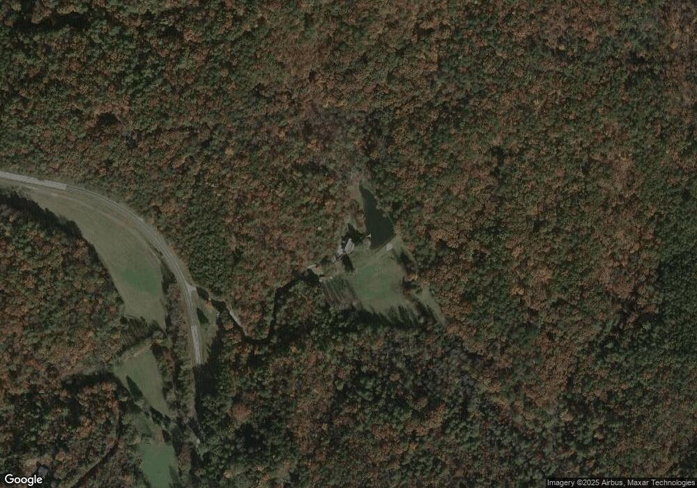
Map
Nearby Homes
- 222 Piedmont Ln
- 420 Hidden Acres Ln
- 31 Creekside Ln
- 0 Timber Creek Dr Unit 10616920
- 37 Begonia Ct
- LOT 16 Brown Hawk Dr
- 0 Brown Hawk Unit 10495084
- 0 Brown Hawk Unit 7555224
- 52 Breton Highlands Ct
- 0 Kingwood Court Ln Unit 10628599
- 0 Kingwood Court Ln Unit 10652104
- 0 Bannockburn Dr
- 0 Bannockburn Dr Unit 15
- 10 Quiet Place Ln
- 00 Mattie McCall Ln
- 0 Heavenly Cir Unit 10615813
- 0 Heavenly Cir Unit 19 10509010
- 0 Heavenly Cir Unit 12 10504881
- 0 Heavenly Cir Unit LOT 36
- 0 Kingwood Dr Unit LOT 104CC 10359599
- 137 Underwood Ln
- 67 Fielder
- 69 Fielder
- 6119 Highway 76 E
- 206 Madelyn Ln
- 41 Underwood Ln
- 6359 Highway 76 E
- 5707 Highway 76 E
- 250 Underwood Ln
- 16 B Carver Ln
- 137 Doc B Trail
- 91 B Carver Ln
- 56 Beatty Ln
- 28 Hampton Place Ln
- 92 Mcclain
- 160 Hampton Place Ln
- 46 Misty Morning Ln
- 64 Doc B Trail
- 105 Hampton Place Ln
- 1 McWorter Ln