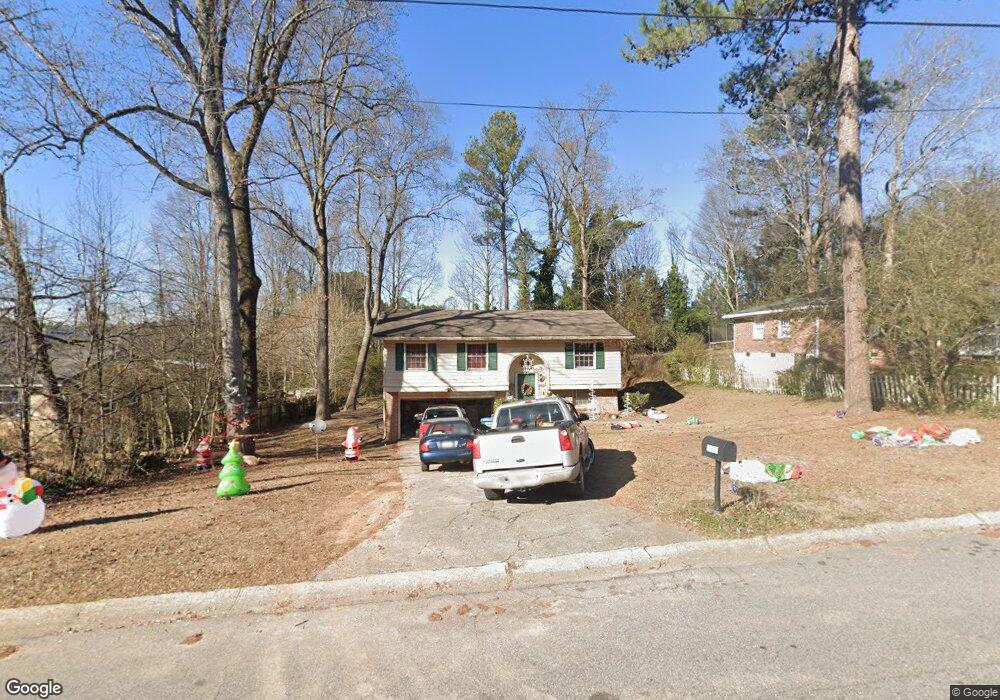
5997 Kay Dr Unit 3 Norcross, GA 30093
Estimated Value: $246,000 - $302,000
3
Beds
1
Bath
976
Sq Ft
$280/Sq Ft
Est. Value
About This Home
This home is located at 5997 Kay Dr Unit 3, Norcross, GA 30093 and is currently estimated at $273,377, approximately $280 per square foot. 5997 Kay Dr Unit 3 is a home located in Gwinnett County with nearby schools including Meadowcreek Elementary School, Louise Radloff Middle School, and Meadowcreek High School.
Ownership History
Date
Name
Owned For
Owner Type
Purchase Details
Closed on
Aug 3, 2001
Sold by
Ellis Edwin D
Bought by
Jung Su Mi
Current Estimated Value
Home Financials for this Owner
Home Financials are based on the most recent Mortgage that was taken out on this home.
Original Mortgage
$82,400
Outstanding Balance
$31,296
Interest Rate
7.1%
Mortgage Type
New Conventional
Estimated Equity
$242,081
Purchase Details
Closed on
Jul 16, 1998
Sold by
Burton William C and Burton Linda C
Bought by
Ellis Edwin Daniel
Home Financials for this Owner
Home Financials are based on the most recent Mortgage that was taken out on this home.
Original Mortgage
$86,598
Interest Rate
6.97%
Mortgage Type
VA
Create a Home Valuation Report for This Property
The Home Valuation Report is an in-depth analysis detailing your home's value as well as a comparison with similar homes in the area
Home Values in the Area
Average Home Value in this Area
Purchase History
| Date | Buyer | Sale Price | Title Company |
|---|---|---|---|
| Jung Su Mi | $103,000 | -- | |
| Ellis Edwin Daniel | $84,900 | -- |
Source: Public Records
Mortgage History
| Date | Status | Borrower | Loan Amount |
|---|---|---|---|
| Open | Jung Su Mi | $82,400 | |
| Previous Owner | Ellis Edwin Daniel | $86,598 |
Source: Public Records
Tax History Compared to Growth
Tax History
| Year | Tax Paid | Tax Assessment Tax Assessment Total Assessment is a certain percentage of the fair market value that is determined by local assessors to be the total taxable value of land and additions on the property. | Land | Improvement |
|---|---|---|---|---|
| 2025 | $3,542 | $91,960 | $21,120 | $70,840 |
| 2024 | $3,403 | $87,040 | $21,120 | $65,920 |
| 2023 | $3,403 | $86,600 | $24,800 | $61,800 |
| 2022 | $2,937 | $75,080 | $22,400 | $52,680 |
| 2021 | $2,226 | $54,360 | $16,000 | $38,360 |
| 2020 | $2,236 | $54,360 | $16,000 | $38,360 |
| 2019 | $2,097 | $52,680 | $13,600 | $39,080 |
| 2018 | $2,097 | $52,680 | $13,600 | $39,080 |
| 2016 | $1,581 | $37,440 | $10,400 | $27,040 |
| 2015 | $1,384 | $31,360 | $8,000 | $23,360 |
| 2014 | $1,390 | $31,360 | $8,000 | $23,360 |
Source: Public Records
Map
Nearby Homes
- 1665 Oakbrook Lake Dr
- 5719 Singlebriar Ct
- 1353 Harbins Ridge Dr Unit 36
- 1281 Rockfield Cir
- 1368 Breezy Cir
- 1561 Danbury Dr
- 1415 Commercial Ct
- 5590 Stonewood Ct
- 1002 Rockbridge Rd
- 1576 Village Dr
- 1596 Village Dr
- 5952 Robin Hood Ln
- 5665 Terremont Cir
- 1258 Roman Point Dr
- 6419 Danbury Ln
- 5775 Dekalb Ln
- 5670 Hollow Ridge Ln
- 1637 Roman Point Dr
- 936 Six Oaks Cir Unit B
- 903 Redwood Dr
- 6001 Kay Dr Unit 3
- 5991 Kay Dr Unit 3
- 5981 Kay Dr Unit 3
- 6011 Kay Dr Unit 3
- 5881 Brookside Oak Cir
- 5887 Brookside Oak Cir
- 5883 Brookside Oak Cir Unit 61
- 5883 Brookside Oak Cir Unit 5883
- 5885 Brookside Oak Cir Unit 5885
- 5885 Brookside Oak Cir
- 5889 Brookside Oak Cir
- 5992 Kay Dr NW
- 5891 Brookside Oak Cir
- 5891 Brookside Oak Cir Unit 5891
- 5893 Brookside Oak Cir Unit 56
- 5992 Kay Dr Unit 3
- 5982 Kay Dr
- 5895 Brookside Oak Cir
- 5895 Brookside Oak Cir Unit 5895
- 5971 Kay Dr Unit 3