5B Brockton Ct Unit B Whiting, NJ 08759
Estimated Value: $229,000 - $240,000
2
Beds
2
Baths
1,544
Sq Ft
$152/Sq Ft
Est. Value
About This Home
This home is located at 5B Brockton Ct Unit B, Whiting, NJ 08759 and is currently estimated at $234,629, approximately $151 per square foot. 5B Brockton Ct Unit B is a home located in Ocean County with nearby schools including Manchester Township High School.
Ownership History
Date
Name
Owned For
Owner Type
Purchase Details
Closed on
Sep 28, 2017
Sold by
Ferrullo Kathleen
Bought by
Guidone Corinne
Current Estimated Value
Purchase Details
Closed on
Sep 30, 2013
Sold by
Romanoff Philip and Romanoff Gertrude
Bought by
Ferrullo Kathleen
Home Financials for this Owner
Home Financials are based on the most recent Mortgage that was taken out on this home.
Original Mortgage
$71,250
Interest Rate
4.61%
Mortgage Type
New Conventional
Purchase Details
Closed on
Jan 17, 2005
Sold by
Sutor John J and Sutor Maryann
Bought by
Romanoff Philip and Romanoff Gertrude
Purchase Details
Closed on
Jan 30, 2001
Sold by
Shahboz Alice
Bought by
Sutor John and Sutor Maryann
Home Financials for this Owner
Home Financials are based on the most recent Mortgage that was taken out on this home.
Original Mortgage
$62,910
Interest Rate
7.13%
Mortgage Type
Purchase Money Mortgage
Create a Home Valuation Report for This Property
The Home Valuation Report is an in-depth analysis detailing your home's value as well as a comparison with similar homes in the area
Home Values in the Area
Average Home Value in this Area
Purchase History
| Date | Buyer | Sale Price | Title Company |
|---|---|---|---|
| Guidone Corinne | $108,000 | -- | |
| Ferrullo Kathleen | $75,000 | Fidelity National Title Ins | |
| Romanoff Philip | $143,000 | -- | |
| Sutor John | $69,900 | -- | |
| Sutor John | $69,900 | -- |
Source: Public Records
Mortgage History
| Date | Status | Borrower | Loan Amount |
|---|---|---|---|
| Previous Owner | Ferrullo Kathleen | $71,250 | |
| Previous Owner | Sutor John | $62,910 |
Source: Public Records
Tax History
| Year | Tax Paid | Tax Assessment Tax Assessment Total Assessment is a certain percentage of the fair market value that is determined by local assessors to be the total taxable value of land and additions on the property. | Land | Improvement |
|---|---|---|---|---|
| 2025 | $2,583 | $202,600 | $50,900 | $151,700 |
| 2024 | $2,451 | $105,200 | $8,900 | $96,300 |
Source: Public Records
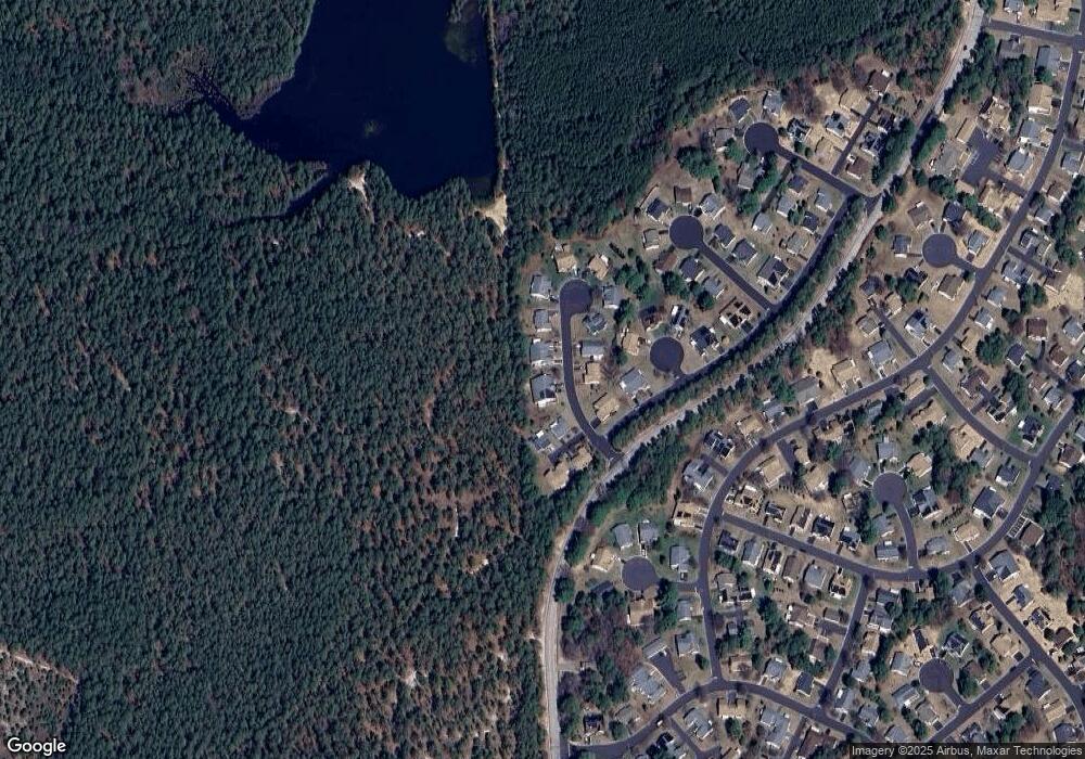
Map
Nearby Homes
- 4 Andover Ct Unit 64
- 4 Ardsley Ave Unit 63
- 6 Berkeley St Unit 64
- 14 Berkshire Rd Unit 64
- 30A Mill Rd Unit 64
- 9A Ardsley Ave Unit 64
- 8 Alpine Rd Unit C
- 10 Alpine Rd Unit 63
- 3B Alpine Rd Unit 63
- 3B Alpine Rd Unit B
- 15 Alpine Rd Unit 63
- 153A Sunset Rd
- 9A Greenwood Ln
- 6 Holyoke Ct
- 7B Greenwood Ln Unit 62
- 40A Stonybrook Rd Unit 62
- 1B Greenwood Ln Unit B
- 1 Stonybrook Rd Unit B
- 12B Golden Ct
- 69D Sunset Rd Unit 60
- 5B Brockton Ct
- 5 Brockton Ct Unit B
- 6A Brockton Ct
- 5A Brockton Ct
- 5A Brockton Ct Unit A
- 5A Brockton Ct Unit 64
- 6B Brockton Ct
- 4 Brockton Ct
- 14 Brockton Ct
- 14 Brockton Ct Unit 64
- 13 Brockton Ct
- 7 Brockton Ct
- 3 Brockton Ct
- 15 Brockton Ct
- 12 Brockton Ct
- 1 Brockton Ct
- 1 Westbrook Ct
- 8 Brockton Ct
- 8 Brockton Ct Unit 64
- 3B Norwich Dr