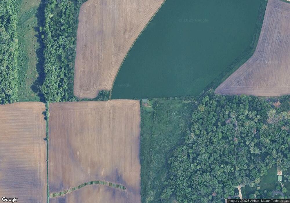
5S164 Whitetail Path Big Rock, IL 60511
Estimated Value: $887,000 - $1,138,643
4
Beds
--
Bath
5,280
Sq Ft
$192/Sq Ft
Est. Value
About This Home
This home is located at 5S164 Whitetail Path, Big Rock, IL 60511 and is currently estimated at $1,012,822, approximately $191 per square foot. 5S164 Whitetail Path is a home with nearby schools including Hinckley-Big Rock Elementary School and Hinckley-Big Rock High School.
Ownership History
Date
Name
Owned For
Owner Type
Purchase Details
Closed on
Sep 18, 2018
Sold by
Volintine Dale J
Bought by
Volintine Carol S
Current Estimated Value
Purchase Details
Closed on
Feb 16, 2012
Sold by
Old Second National Bank Of Aurora
Bought by
Volintine Carol S
Purchase Details
Closed on
Mar 7, 1997
Sold by
Volintine Dale J and Volintine Carol S
Bought by
Volintine Dale J and Volintine Carol S
Create a Home Valuation Report for This Property
The Home Valuation Report is an in-depth analysis detailing your home's value as well as a comparison with similar homes in the area
Home Values in the Area
Average Home Value in this Area
Purchase History
| Date | Buyer | Sale Price | Title Company |
|---|---|---|---|
| Volintine Carol S | -- | Attorney | |
| Volintine Carol S | -- | None Available | |
| Volintine Dale J | -- | -- |
Source: Public Records
Tax History Compared to Growth
Tax History
| Year | Tax Paid | Tax Assessment Tax Assessment Total Assessment is a certain percentage of the fair market value that is determined by local assessors to be the total taxable value of land and additions on the property. | Land | Improvement |
|---|---|---|---|---|
| 2024 | $18,522 | $286,987 | $38,413 | $248,574 |
| 2023 | $17,876 | $265,496 | $35,461 | $230,035 |
| 2022 | $17,421 | $249,535 | $33,210 | $216,325 |
| 2021 | $17,826 | $234,923 | $31,149 | $203,774 |
| 2020 | $17,500 | $227,016 | $29,926 | $197,090 |
| 2019 | $16,821 | $216,106 | $28,366 | $187,740 |
| 2018 | $17,124 | $208,513 | $27,226 | $181,287 |
| 2017 | $17,037 | $197,603 | $25,708 | $171,895 |
| 2016 | $17,064 | $189,603 | $25,499 | $164,104 |
| 2015 | -- | $179,219 | $24,944 | $154,275 |
| 2014 | -- | $175,623 | $24,812 | $150,811 |
| 2013 | -- | $180,014 | $25,188 | $154,826 |
Source: Public Records
Map
Nearby Homes
- 17751 Scott Rd
- 204 S Lincoln Ave
- 307 Jefferson Ave
- 10266 Pritchard Rd
- 640 Coster Ct
- 670 Rustic Way
- 527 Prairie St
- 631 Rustic Way
- 320 Harvest Ave
- 230 Christensen St
- 210 Christensen St
- 621 N Oak St
- 170 Christensen St
- 150 Christensen St
- 520 N Oak St
- 541 N Oak St
- 140 Prairie St
- 408 E Lincoln Ave
- Starling Plan at Royal Estates
- Wren Plan at Royal Estates
- 49W194 Deer Ridge Path
- 5S260 Deer Ridge Path
- 5S206 Whitetail Path
- 49W440 Scott Rd
- 49w Scott Rd
- 5S280 Deer Ridge Path
- 5S189 Whitetail Path
- 4 Deer Ridge Path
- 1 Deer Ridge Path
- 49W151 Deer Ridge Path
- 49W050 Deer Ridge Path
- 5S310 Deer Ridge Path
- 49W412 Scott Rd
- 49W105 Deer Ridge Path
- 0 Deer Ridge Path
- 0 Deer Ridge Path Unit 8847884
- Lot Deer Ridge Path
- 4S662 Swan Rd
- 4S725 Swan Rd
- Lot 4 Deer Ridge Path
