5S260 Deer Ridge Path Big Rock, IL 60511
Estimated Value: $444,000 - $529,788
3
Beds
2
Baths
2,078
Sq Ft
$238/Sq Ft
Est. Value
About This Home
This home is located at 5S260 Deer Ridge Path, Big Rock, IL 60511 and is currently estimated at $494,947, approximately $238 per square foot. 5S260 Deer Ridge Path is a home located in Kane County with nearby schools including Hinckley-Big Rock Elementary School and Hinckley-Big Rock High School.
Ownership History
Date
Name
Owned For
Owner Type
Purchase Details
Closed on
Sep 4, 2008
Sold by
Stein John R
Bought by
Stein John R and Stein Kimberly S
Current Estimated Value
Home Financials for this Owner
Home Financials are based on the most recent Mortgage that was taken out on this home.
Original Mortgage
$388,000
Outstanding Balance
$258,444
Interest Rate
6.55%
Mortgage Type
New Conventional
Estimated Equity
$236,503
Purchase Details
Closed on
May 10, 1998
Sold by
Hart Theresa M and Vance Theresa M
Bought by
Stein John R
Home Financials for this Owner
Home Financials are based on the most recent Mortgage that was taken out on this home.
Original Mortgage
$154,000
Interest Rate
7.13%
Purchase Details
Closed on
Mar 11, 1996
Sold by
Stein John R
Bought by
Stein John R
Create a Home Valuation Report for This Property
The Home Valuation Report is an in-depth analysis detailing your home's value as well as a comparison with similar homes in the area
Home Values in the Area
Average Home Value in this Area
Purchase History
| Date | Buyer | Sale Price | Title Company |
|---|---|---|---|
| Stein John R | -- | First American Title | |
| Stein John R | -- | Chicago Title Insurance Co | |
| Stein John R | -- | -- |
Source: Public Records
Mortgage History
| Date | Status | Borrower | Loan Amount |
|---|---|---|---|
| Open | Stein John R | $388,000 | |
| Previous Owner | Stein John R | $154,000 |
Source: Public Records
Tax History Compared to Growth
Tax History
| Year | Tax Paid | Tax Assessment Tax Assessment Total Assessment is a certain percentage of the fair market value that is determined by local assessors to be the total taxable value of land and additions on the property. | Land | Improvement |
|---|---|---|---|---|
| 2024 | $10,281 | $166,408 | $29,985 | $136,423 |
| 2023 | $9,857 | $153,570 | $27,672 | $125,898 |
| 2022 | $9,719 | $144,075 | $25,961 | $118,114 |
| 2021 | $9,902 | $135,384 | $24,395 | $110,989 |
| 2020 | $9,702 | $130,755 | $23,561 | $107,194 |
| 2019 | $9,290 | $124,280 | $22,394 | $101,886 |
| 2018 | $9,068 | $110,591 | $21,589 | $89,002 |
| 2017 | $8,766 | $104,588 | $20,417 | $84,171 |
| 2016 | $8,520 | $97,673 | $20,417 | $77,256 |
| 2015 | -- | $97,536 | $20,086 | $77,450 |
| 2014 | -- | $95,045 | $20,086 | $74,959 |
| 2013 | -- | $97,723 | $20,652 | $77,071 |
Source: Public Records
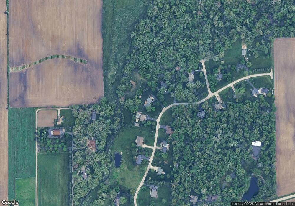
Map
Nearby Homes
- 17751 Scott Rd
- 204 S Lincoln Ave
- 307 Jefferson Ave
- 10266 Pritchard Rd
- 640 Coster Ct
- 670 Rustic Way
- 527 Prairie St
- 631 Rustic Way
- 230 Christensen St
- 320 Harvest Ave
- 210 Christensen St
- 621 N Oak St
- 170 Christensen St
- 150 Christensen St
- 520 N Oak St
- 541 N Oak St
- 408 E Lincoln Ave
- 140 Prairie St
- Starling Plan at Royal Estates
- Wren Plan at Royal Estates
- 4 Deer Ridge Path
- 1 Deer Ridge Path
- 5S280 Deer Ridge Path
- 49W194 Deer Ridge Path
- Lot Deer Ridge Path
- 5S310 Deer Ridge Path
- Lot 4 Deer Ridge Path
- 05S390 Deer Ridge Path
- Lot 1 Deer Ridge Path
- 5S206 Whitetail Path
- 5S331 Deer Ridge Path
- 49W151 Deer Ridge Path
- 49W440 Scott Rd
- 5S350 Deer Ridge Path
- 49W412 Scott Rd
- 5S375 Deer Ridge Path
- 49W105 Deer Ridge Path
- 5S189 Whitetail Path
- 49w Scott Rd
- 0 Deer Ridge Path